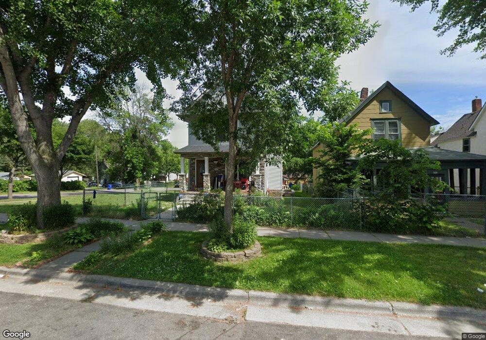
675 Blair Ave Saint Paul, MN 55104
Frogtown NeighborhoodEstimated Value: $268,000 - $293,000
3
Beds
1
Bath
1,528
Sq Ft
$183/Sq Ft
Est. Value
About This Home
This home is located at 675 Blair Ave, Saint Paul, MN 55104 and is currently estimated at $279,855, approximately $183 per square foot. 675 Blair Ave is a home located in Ramsey County with nearby schools including Maxfield Magnet Elementary School, Hidden River Middle School, and Central Senior High School.
Ownership History
Date
Name
Owned For
Owner Type
Purchase Details
Closed on
Nov 27, 2013
Sold by
Velasquez Criselda
Bought by
Torres Lorenzo Velasquez
Current Estimated Value
Home Financials for this Owner
Home Financials are based on the most recent Mortgage that was taken out on this home.
Original Mortgage
$105,600
Outstanding Balance
$79,455
Interest Rate
4.38%
Mortgage Type
FHA
Estimated Equity
$200,400
Purchase Details
Closed on
Mar 10, 2000
Sold by
Greater Frogtown Comnty Development Corp
Bought by
Velasquez Lorenzo and Velasquez Criselda
Create a Home Valuation Report for This Property
The Home Valuation Report is an in-depth analysis detailing your home's value as well as a comparison with similar homes in the area
Home Values in the Area
Average Home Value in this Area
Purchase History
| Date | Buyer | Sale Price | Title Company |
|---|---|---|---|
| Torres Lorenzo Velasquez | $515 | Land Title Inc | |
| Velasquez Lorenzo | $96,000 | -- |
Source: Public Records
Mortgage History
| Date | Status | Borrower | Loan Amount |
|---|---|---|---|
| Open | Torres Lorenzo Velasquez | $105,600 |
Source: Public Records
Tax History Compared to Growth
Tax History
| Year | Tax Paid | Tax Assessment Tax Assessment Total Assessment is a certain percentage of the fair market value that is determined by local assessors to be the total taxable value of land and additions on the property. | Land | Improvement |
|---|---|---|---|---|
| 2025 | $4,110 | $282,300 | $25,000 | $257,300 |
| 2023 | $4,110 | $266,000 | $20,000 | $246,000 |
| 2022 | $3,420 | $240,400 | $20,000 | $220,400 |
| 2021 | $3,296 | $214,700 | $20,000 | $194,700 |
| 2020 | $3,100 | $214,500 | $11,200 | $203,300 |
| 2019 | $2,714 | $185,900 | $11,200 | $174,700 |
| 2018 | $2,342 | $167,400 | $11,200 | $156,200 |
| 2017 | $2,412 | $152,500 | $11,200 | $141,300 |
| 2016 | $2,286 | $0 | $0 | $0 |
| 2015 | $2,138 | $141,100 | $11,200 | $129,900 |
| 2014 | $2,534 | $0 | $0 | $0 |
Source: Public Records
Map
Nearby Homes
- 646 Van Buren Ave
- 631 Van Buren Ave
- 653 Thomas Ave
- 644 Dale St N
- 751 Van Buren Ave
- 679 Edmund Ave
- 730 Edmund Ave
- 679 Charles Ave
- 553 Blair Ave
- 723 Charles Ave
- 547 Blair Ave
- 566 Edmund Ave
- 610 Charles Ave
- 639 Sherburne Ave
- 594 Charles Ave
- 534 Thomas Ave
- 511 Van Buren Ave
- 828 Englewood Ave
- 553 Charles Ave
- 818 Edmund Ave
- 671 Blair Ave
- 677 Blair Ave
- 667 Blair Ave
- 665 Blair Ave
- 663 Blair Ave
- 683 Blair Ave
- 672 Van Buren Ave
- 680 Saint Albans St N Unit 680
- 674 Van Buren Ave Unit 674
- 657 Blair Ave
- 659 Blair Ave
- 666 Van Buren Ave
- 687 Blair Ave
- 662 Van Buren Ave
- 662 662 van Buren Ave
- 672 Blair Ave
- 674 Blair Ave
- 681 Saint Albans St N
- 670 Blair Ave
- 655 Blair Ave