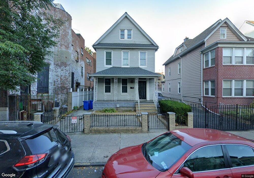
676 E 31st St Brooklyn, NY 11210
Flatbush NeighborhoodEstimated Value: $981,000 - $1,075,000
2
Beds
1
Bath
2,304
Sq Ft
$450/Sq Ft
Est. Value
About This Home
This home is located at 676 E 31st St, Brooklyn, NY 11210 and is currently estimated at $1,037,333, approximately $450 per square foot. 676 E 31st St is a home located in Kings County with nearby schools including J.H.S. 278 Marine Park, Jhs 234 Arthur W Cunningham, and Jhs 14 Shell Bank.
Ownership History
Date
Name
Owned For
Owner Type
Purchase Details
Closed on
Feb 2, 2006
Sold by
Clervois Carol and Pierre Arlonne
Bought by
Pierre Arlonne
Current Estimated Value
Purchase Details
Closed on
Mar 12, 2004
Sold by
Pierre Joel
Bought by
Pierre Arlonne
Home Financials for this Owner
Home Financials are based on the most recent Mortgage that was taken out on this home.
Original Mortgage
$78,000
Interest Rate
5.36%
Mortgage Type
Purchase Money Mortgage
Create a Home Valuation Report for This Property
The Home Valuation Report is an in-depth analysis detailing your home's value as well as a comparison with similar homes in the area
Home Values in the Area
Average Home Value in this Area
Purchase History
| Date | Buyer | Sale Price | Title Company |
|---|---|---|---|
| Pierre Arlonne | -- | -- | |
| Pierre Arlonne | -- | -- | |
| Pierre Arlonne | $62,289 | -- | |
| Pierre Arlonne | $62,289 | -- |
Source: Public Records
Mortgage History
| Date | Status | Borrower | Loan Amount |
|---|---|---|---|
| Previous Owner | Pierre Arlonne | $78,000 |
Source: Public Records
Tax History Compared to Growth
Tax History
| Year | Tax Paid | Tax Assessment Tax Assessment Total Assessment is a certain percentage of the fair market value that is determined by local assessors to be the total taxable value of land and additions on the property. | Land | Improvement |
|---|---|---|---|---|
| 2025 | $6,908 | $55,500 | $22,380 | $33,120 |
| 2024 | $6,908 | $65,280 | $22,380 | $42,900 |
| 2023 | $6,920 | $70,260 | $22,380 | $47,880 |
| 2022 | $6,423 | $68,880 | $22,380 | $46,500 |
| 2021 | $6,394 | $53,160 | $22,380 | $30,780 |
| 2020 | $3,177 | $66,720 | $22,380 | $44,340 |
| 2019 | $5,996 | $66,720 | $22,380 | $44,340 |
| 2018 | $5,788 | $28,393 | $12,931 | $15,462 |
| 2017 | $5,466 | $26,812 | $17,923 | $8,889 |
| 2016 | $5,061 | $25,318 | $17,170 | $8,148 |
| 2015 | $3,051 | $25,303 | $14,386 | $10,917 |
| 2014 | $3,051 | $23,886 | $15,573 | $8,313 |
Source: Public Records
Map
Nearby Homes
- 720 E 31st St Unit 5K
- 720 E 31st St Unit 4K
- 745 E 31st St Unit 2M
- 745 E 31st St Unit 2L
- 745 E 31st St Unit 4C
- 745 E 31st St Unit 4B
- 745 E 31st St Unit 7J
- 740 E 32nd St Unit E3
- 1525 Flatbush Ave
- 890 E 34th St
- 1631 New York Ave Unit TH
- 145 Kenilworth Place Unit 3A
- 145 Kenilworth Place Unit 2A
- 145 Kenilworth Place Unit 6A
- 93 Kenilworth Place
- 3215 Avenue H Unit 12S
- 3215 Avenue H Unit 11M
- 566 E 32nd St
- 563 E 32nd St
- 1470 Flatbush Ave
- 676 E 31 St
- 672 E 31st St
- 3017-3019 Glenwood Rd
- 668 E 31st St
- 668 E 31st St Unit 2
- 668 E 31st St Unit 3
- 664 E 31st St
- 2093 Nostrand Ave
- 3011 Glenwood Rd
- 3009 Glenwood Rd
- 2091 Nostrand Ave
- 2087 Nostrand Ave
- 2097 Nostrand Ave
- 3005 Glenwood Rd
- 2085 Nostrand Ave
- 2095 Nostrand Ave
- 660 E 31st St
- 675 E 31st St
- 675 E 31st St Unit 2
- 2083 Nostrand Ave