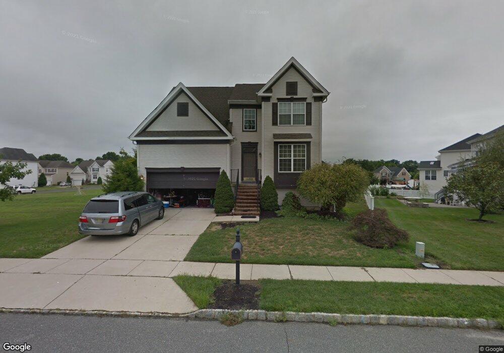
676 Worcester Dr West Deptford, NJ 08086
West Deptford Township NeighborhoodEstimated Value: $495,590 - $568,000
--
Bed
--
Bath
2,358
Sq Ft
$225/Sq Ft
Est. Value
About This Home
This home is located at 676 Worcester Dr, West Deptford, NJ 08086 and is currently estimated at $531,648, approximately $225 per square foot. 676 Worcester Dr is a home located in Gloucester County with nearby schools including Green-Fields Elementary School, Red Bank Elementary School, and Oakview Elementary School.
Ownership History
Date
Name
Owned For
Owner Type
Purchase Details
Closed on
Jun 10, 2005
Sold by
D R Horton Inc New Jersey
Bought by
Alason Adrian W and Alason Colleen M
Current Estimated Value
Home Financials for this Owner
Home Financials are based on the most recent Mortgage that was taken out on this home.
Original Mortgage
$235,668
Outstanding Balance
$123,508
Interest Rate
5.82%
Mortgage Type
New Conventional
Estimated Equity
$408,140
Create a Home Valuation Report for This Property
The Home Valuation Report is an in-depth analysis detailing your home's value as well as a comparison with similar homes in the area
Home Values in the Area
Average Home Value in this Area
Purchase History
| Date | Buyer | Sale Price | Title Company |
|---|---|---|---|
| Alason Adrian W | $294,585 | Title America |
Source: Public Records
Mortgage History
| Date | Status | Borrower | Loan Amount |
|---|---|---|---|
| Open | Alason Adrian W | $235,668 |
Source: Public Records
Tax History Compared to Growth
Tax History
| Year | Tax Paid | Tax Assessment Tax Assessment Total Assessment is a certain percentage of the fair market value that is determined by local assessors to be the total taxable value of land and additions on the property. | Land | Improvement |
|---|---|---|---|---|
| 2025 | $10,102 | $289,300 | $69,500 | $219,800 |
| 2024 | $9,972 | $289,300 | $69,500 | $219,800 |
| 2023 | $9,972 | $289,300 | $69,500 | $219,800 |
| 2022 | $9,926 | $289,300 | $69,500 | $219,800 |
| 2021 | $9,891 | $289,300 | $69,500 | $219,800 |
| 2020 | $9,868 | $289,300 | $69,500 | $219,800 |
| 2019 | $9,593 | $289,300 | $69,500 | $219,800 |
| 2018 | $9,333 | $289,300 | $69,500 | $219,800 |
| 2017 | $9,116 | $289,300 | $69,500 | $219,800 |
| 2016 | $8,861 | $289,300 | $69,500 | $219,800 |
| 2015 | $8,809 | $301,900 | $69,500 | $232,400 |
| 2014 | $8,372 | $301,900 | $69,500 | $232,400 |
Source: Public Records
Map
Nearby Homes
- 640 Worcester Dr
- 863 Doncaster Dr
- 1091 Buckingham Dr Unit 45
- 1066 Buckingham Dr
- 1012 Moore Rd Unit 6
- 12 Highbridge Ln Unit I2
- 125 Lionheart Ln Unit C125
- 87 Woodway Dr Unit 87
- 740 Carter Hill Dr
- 1220 Royal Ln
- 1102 Barnesdale Rd
- 1311 Barnesdale Rd
- 4 Saint Emilion Ct
- 1054 Kings Hwy
- 94 Aviary Rd
- 1810 Fernwood Dr
- 14 Aviary Rd
- 296 Ogden Station Rd
- 97 Church St
- 90 Ginger Dr