67630 U67 Trail Montrose, CO 81403
Estimated Value: $1,085,000 - $1,201,000
4
Beds
3
Baths
3,738
Sq Ft
$304/Sq Ft
Est. Value
About This Home
This home is located at 67630 U67 Trail, Montrose, CO 81403 and is currently estimated at $1,135,027, approximately $303 per square foot. 67630 U67 Trail is a home located in Montrose County with nearby schools including Cottonwood Elementary School, Columbine Middle School, and Montrose High School.
Ownership History
Date
Name
Owned For
Owner Type
Purchase Details
Closed on
Sep 28, 2018
Sold by
Smith Mark A
Bought by
Blanchard Ray and Blanchard Debbie
Current Estimated Value
Home Financials for this Owner
Home Financials are based on the most recent Mortgage that was taken out on this home.
Original Mortgage
$400,000
Outstanding Balance
$348,824
Interest Rate
4.5%
Estimated Equity
$786,203
Purchase Details
Closed on
Nov 30, 2015
Sold by
Smith Mark A and Smith Ellen A
Bought by
Smith Mark A
Purchase Details
Closed on
Oct 26, 2006
Sold by
Stephens Gary W and Stephens Helen A
Bought by
Smith Mark A and Smith Ellen A
Purchase Details
Closed on
Aug 3, 2005
Sold by
Revoir Wayne H and Revoir Mary R
Bought by
Smith Mark A and Smith Ellen A
Purchase Details
Closed on
Oct 20, 1995
Sold by
Revoir Mary Rachel
Bought by
Revoir Mary R and Revoir Wayne H
Create a Home Valuation Report for This Property
The Home Valuation Report is an in-depth analysis detailing your home's value as well as a comparison with similar homes in the area
Home Values in the Area
Average Home Value in this Area
Purchase History
| Date | Buyer | Sale Price | Title Company |
|---|---|---|---|
| Blanchard Ray | $650,000 | Land Title Guarantee Co | |
| Smith Mark A | -- | None Available | |
| Smith Mark A | $82,500 | None Available | |
| Smith Mark A | $160,000 | None Available | |
| Revoir Mary R | -- | -- | |
| Revoir Mary Rachel | -- | -- |
Source: Public Records
Mortgage History
| Date | Status | Borrower | Loan Amount |
|---|---|---|---|
| Open | Blanchard Ray | $400,000 |
Source: Public Records
Tax History Compared to Growth
Tax History
| Year | Tax Paid | Tax Assessment Tax Assessment Total Assessment is a certain percentage of the fair market value that is determined by local assessors to be the total taxable value of land and additions on the property. | Land | Improvement |
|---|---|---|---|---|
| 2024 | $4,526 | $63,570 | $2,160 | $61,410 |
| 2023 | $4,526 | $69,680 | $2,160 | $67,520 |
| 2022 | $3,270 | $47,520 | $2,040 | $45,480 |
| 2021 | $3,379 | $49,020 | $2,240 | $46,780 |
| 2020 | $3,189 | $47,530 | $6,650 | $40,880 |
| 2019 | $3,210 | $47,530 | $6,650 | $40,880 |
| 2018 | $2,959 | $42,750 | $5,780 | $36,970 |
| 2017 | $2,935 | $42,750 | $5,780 | $36,970 |
| 2016 | $2,749 | $40,700 | $5,350 | $35,350 |
| 2015 | $2,700 | $40,700 | $5,350 | $35,350 |
| 2014 | $2,342 | $37,780 | $5,020 | $32,760 |
Source: Public Records
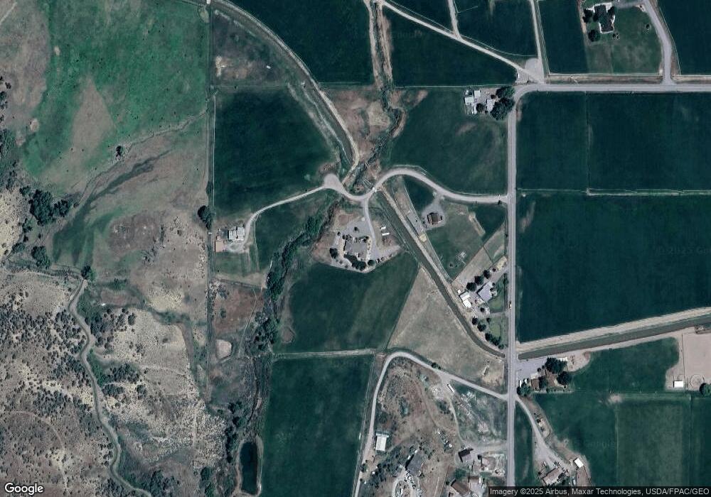
Map
Nearby Homes
- Lot 4 6785 Ct
- Lot 1 6785 Ct
- Lot 3 6785 Ct
- 21179 Highway 550
- 21475 Highway 550
- TBD Ute Valley Dr Unit Lot 1
- TBD Ute Valley Dr Unit Lot 2
- 68200 Ute Valley Dr
- 20866 Trophy Rd
- 68143 Tumbleweed Rd
- 68053 Tumbleweed Rd
- 20547 Tulip Cir
- Lot 49 6840 Rd
- Lot 43 6840 Rd
- Lot 50 6840 Rd
- Lot 48 6840 Rd
- 22130 6850 Rd Unit 210
- 22130 6850 Rd Unit 212
- 22130 6850 Rd Unit 210-215
- 22130 6850 Rd Unit 211
- TBD Lot 1 U67 Trail
- Lots 1 & 2 U67 Trail
- Lot 2 U67 Trail
- 1 U67 Trail
- Lot 1 & Lot 2 U67 Trail
- Lot 1 U67 Trail
- 0 U67 Trail
- TBD U67 Trail
- 67708 U67 Trail
- 0 Lot 1 Government Springs Rd Unit 729193
- 67604 U67 Trail
- U67 Trail
- 21561 Government Springs Rd
- TBD Lot 1 Government Sporings Rd Unit 1
- 21451 Government Springs Rd
- 21645 Government Springs Rd
- 21634 Government Springs Rd
- 21681 Government Springs Rd
- 0 Uintah Ct
- 21745 Government Springs Rd