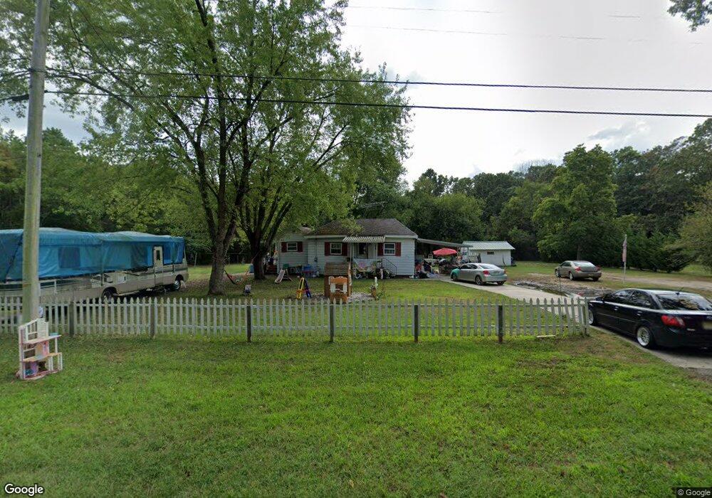
6764 Railroad Blvd Mays Landing, NJ 08330
Estimated Value: $249,000 - $347,000
--
Bed
--
Bath
1,803
Sq Ft
$170/Sq Ft
Est. Value
About This Home
This home is located at 6764 Railroad Blvd, Mays Landing, NJ 08330 and is currently estimated at $307,379, approximately $170 per square foot. 6764 Railroad Blvd is a home located in Atlantic County with nearby schools including Joseph Shaner School, George L. Hess Educational Complex, and William Davies Middle School.
Ownership History
Date
Name
Owned For
Owner Type
Purchase Details
Closed on
Jun 4, 2003
Sold by
Taylor Frank
Bought by
Lenig Alvin G and Lenig Sharon L
Current Estimated Value
Home Financials for this Owner
Home Financials are based on the most recent Mortgage that was taken out on this home.
Original Mortgage
$94,400
Outstanding Balance
$49,603
Interest Rate
8.6%
Mortgage Type
Purchase Money Mortgage
Estimated Equity
$257,776
Purchase Details
Closed on
Nov 5, 1997
Sold by
Taylor Doris and Booker Ida Mae
Bought by
Taylor Frank
Create a Home Valuation Report for This Property
The Home Valuation Report is an in-depth analysis detailing your home's value as well as a comparison with similar homes in the area
Home Values in the Area
Average Home Value in this Area
Purchase History
| Date | Buyer | Sale Price | Title Company |
|---|---|---|---|
| Lenig Alvin G | $118,000 | -- | |
| Taylor Frank | -- | -- |
Source: Public Records
Mortgage History
| Date | Status | Borrower | Loan Amount |
|---|---|---|---|
| Open | Lenig Alvin G | $94,400 |
Source: Public Records
Tax History Compared to Growth
Tax History
| Year | Tax Paid | Tax Assessment Tax Assessment Total Assessment is a certain percentage of the fair market value that is determined by local assessors to be the total taxable value of land and additions on the property. | Land | Improvement |
|---|---|---|---|---|
| 2025 | $4,982 | $145,200 | $45,000 | $100,200 |
| 2024 | $4,982 | $145,200 | $45,000 | $100,200 |
| 2023 | $4,684 | $145,200 | $45,000 | $100,200 |
| 2022 | $4,684 | $145,200 | $45,000 | $100,200 |
| 2021 | $4,674 | $145,200 | $45,000 | $100,200 |
| 2020 | $4,674 | $145,200 | $45,000 | $100,200 |
| 2019 | $4,686 | $145,200 | $45,000 | $100,200 |
| 2018 | $4,522 | $145,200 | $45,000 | $100,200 |
| 2017 | $4,450 | $145,200 | $45,000 | $100,200 |
| 2016 | $4,326 | $145,200 | $45,000 | $100,200 |
| 2015 | $4,179 | $145,200 | $45,000 | $100,200 |
| 2014 | $4,195 | $159,700 | $51,300 | $108,400 |
Source: Public Records
Map
Nearby Homes
- 1306 Harding Hwy
- 328 Llewellyn Ave
- 0 Prep St
- 4401 Block 01 Lot Prep St
- 127 Fir Ave
- 0 San Francisco Ave
- 0 Division Ave
- 7 Emilie Ct
- 6917 Market St
- 1362 Annapolis Ave
- 0 St Petersburg Ave Unit NJAC2011842
- 0 St Petersburg Ave Unit NJAC2011840
- 5485 Landis Ave
- 1368 Sitka Ave
- 0 Railroad Blvd
- 0 0 Strand Ave
- 6422 Strand Ave
- 6414 Strand Ave
- 711 Tuckahoe Rd
- 5641 Chestnut Ave
- 6750 Railroad Blvd
- 551 Railroad Blvd
- 750 Railroad Blvd
- 750 Railroad Blvd
- 7051 Harding Hwy
- 1393 Harding Hwy
- 734 Railroad Blvd
- 135 W Jersey Blvd
- 1357 Harding Hwy
- 1361 Harding Hwy
- 228 Holly Ave
- 243 Holly Ave
- 239 Holly Ave
- 235 Holly Ave
- 231 Holly Ave
- 6758 Railroad Blvd
- 724 Railroad Blvd
- 1353 Harding Hwy
- 210 Holly Ave
- 1383 Harding Hwy