67737 Uintah Ct Montrose, CO 81403
Estimated Value: $808,000 - $1,163,000
3
Beds
2
Baths
2,185
Sq Ft
$429/Sq Ft
Est. Value
About This Home
This home is located at 67737 Uintah Ct, Montrose, CO 81403 and is currently estimated at $938,232, approximately $429 per square foot. 67737 Uintah Ct is a home located in Montrose County with nearby schools including Cottonwood Elementary School, Columbine Middle School, and Montrose High School.
Ownership History
Date
Name
Owned For
Owner Type
Purchase Details
Closed on
Feb 19, 2019
Sold by
Borinski Stan and Borinski Kathleen
Bought by
Hollenbeck William M and Hollenbeck Amanda J
Current Estimated Value
Purchase Details
Closed on
Apr 1, 2005
Sold by
Ziegler Douglas A and Ziegler Dorothy A
Bought by
Borinski Stan and Borinski Kathleen
Home Financials for this Owner
Home Financials are based on the most recent Mortgage that was taken out on this home.
Original Mortgage
$343,000
Interest Rate
5.78%
Mortgage Type
Purchase Money Mortgage
Purchase Details
Closed on
Dec 7, 2001
Sold by
Hill Scott S and Hill Tammy M
Bought by
Ziegler Douglas A and Ziegler Dorothy A
Purchase Details
Closed on
Nov 24, 1998
Sold by
1031 H Land Corporation
Bought by
Hill Scott S and Hill Tammy M
Purchase Details
Closed on
Apr 15, 1998
Sold by
Brink Gary J and Brink Peggy L
Bought by
1031-H Land Corporation
Create a Home Valuation Report for This Property
The Home Valuation Report is an in-depth analysis detailing your home's value as well as a comparison with similar homes in the area
Home Values in the Area
Average Home Value in this Area
Purchase History
| Date | Buyer | Sale Price | Title Company |
|---|---|---|---|
| Hollenbeck William M | -- | None Available | |
| Hollenbeck William M | $611,500 | Land Title Guarantee Co | |
| Borinski Stan | $393,000 | None Available | |
| Ziegler Douglas A | $380,000 | -- | |
| Hill Scott S | $179,100 | -- | |
| 1031-H Land Corporation | $120,000 | -- |
Source: Public Records
Mortgage History
| Date | Status | Borrower | Loan Amount |
|---|---|---|---|
| Previous Owner | Borinski Stan | $343,000 |
Source: Public Records
Tax History Compared to Growth
Tax History
| Year | Tax Paid | Tax Assessment Tax Assessment Total Assessment is a certain percentage of the fair market value that is determined by local assessors to be the total taxable value of land and additions on the property. | Land | Improvement |
|---|---|---|---|---|
| 2024 | $2,665 | $37,430 | $2,800 | $34,630 |
| 2023 | $2,665 | $42,540 | $2,800 | $39,740 |
| 2022 | $2,060 | $29,940 | $2,630 | $27,310 |
| 2021 | $2,135 | $30,970 | $2,880 | $28,090 |
| 2020 | $1,818 | $27,090 | $2,300 | $24,790 |
| 2019 | $1,347 | $27,090 | $2,300 | $24,790 |
| 2018 | $1,261 | $25,420 | $3,100 | $22,320 |
| 2017 | $1,251 | $25,420 | $3,100 | $22,320 |
| 2016 | $1,120 | $24,550 | $2,430 | $22,120 |
| 2015 | $1,628 | $24,550 | $2,430 | $22,120 |
| 2014 | $1,409 | $22,730 | $1,980 | $20,750 |
Source: Public Records
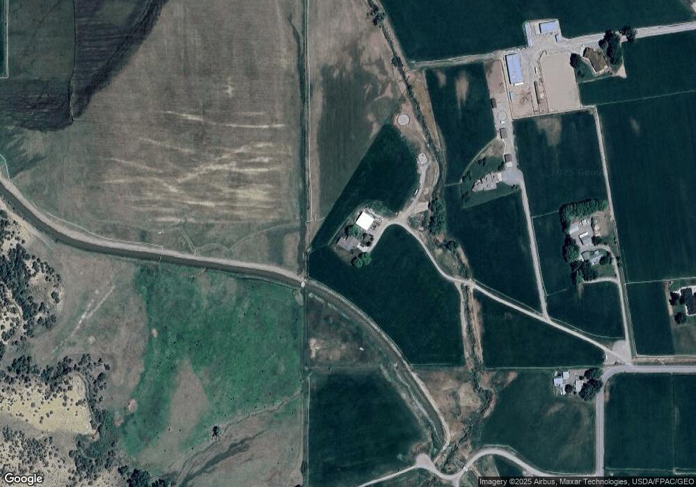
Map
Nearby Homes
- Lot 4 6785 Ct
- Lot 1 6785 Ct
- Lot 3 6785 Ct
- 21179 Highway 550
- 20866 Trophy Rd
- 68143 Tumbleweed Rd
- 68053 Tumbleweed Rd
- 20547 Tulip Cir
- 21475 Highway 550
- 68200 Ute Valley Dr
- TBD Ute Valley Dr Unit Lot 1
- TBD Ute Valley Dr Unit Lot 2
- Lot 49 6840 Rd
- Lot 43 6840 Rd
- Lot 50 6840 Rd
- Lot 48 6840 Rd
- 20124 6720 Ln
- Lot 2 Trout Rd
- Lot 3 Trout Rd
- 22130 6850 Rd Unit 210
- 0 Uintah Ct
- 67751 Uintah Ct
- 67763 Uintah Ct
- TBD Lot 1 U67 Trail
- Lots 1 & 2 U67 Trail
- Lot 2 U67 Trail
- 1 U67 Trail
- Lot 1 & Lot 2 U67 Trail
- Lot 1 U67 Trail
- 0 U67 Trail
- TBD U67 Trail
- 21451 Government Springs Rd
- 67630 U67 Trail
- 20965 Highway 550
- 67708 U67 Trail
- 67604 U67 Trail
- 21330 6785 Ct
- U67 Trail
- TBD Lot 1 Government Sporings Rd Unit 1
- 21561 Government Springs Rd