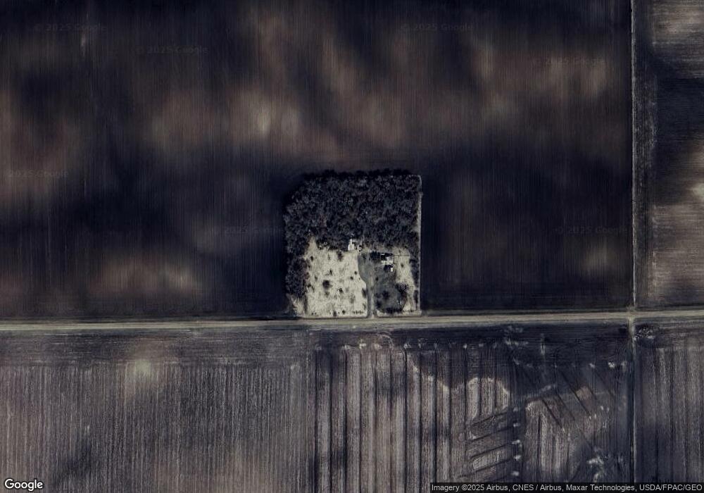
67802 370th St Butterfield, MN 56120
Estimated Value: $86,000 - $116,100
3
Beds
1
Bath
420
Sq Ft
$241/Sq Ft
Est. Value
About This Home
This home is located at 67802 370th St, Butterfield, MN 56120 and is currently estimated at $101,050, approximately $240 per square foot. 67802 370th St is a home located in Watonwan County with nearby schools including Armstrong School, Northside Elementary School, and St. James High School.
Create a Home Valuation Report for This Property
The Home Valuation Report is an in-depth analysis detailing your home's value as well as a comparison with similar homes in the area
Home Values in the Area
Average Home Value in this Area
Tax History Compared to Growth
Tax History
| Year | Tax Paid | Tax Assessment Tax Assessment Total Assessment is a certain percentage of the fair market value that is determined by local assessors to be the total taxable value of land and additions on the property. | Land | Improvement |
|---|---|---|---|---|
| 2025 | $568 | $89,400 | $81,500 | $7,900 |
| 2024 | $584 | $98,800 | $81,500 | $17,300 |
| 2023 | $634 | $96,600 | $81,500 | $15,100 |
| 2022 | $458 | $91,300 | $81,500 | $9,800 |
| 2021 | $446 | $58,000 | $50,500 | $7,500 |
| 2020 | $440 | $58,200 | $50,500 | $7,700 |
| 2019 | $464 | $58,600 | $50,400 | $8,200 |
| 2018 | $448 | $58,600 | $50,400 | $8,200 |
| 2016 | $420 | $58,100 | $50,400 | $7,700 |
| 2014 | -- | $62,700 | $34,000 | $28,700 |
Source: Public Records
Map
Nearby Homes
- 69193 380th St
- 0 Tbd S Third St Unit TBD Third St S
- 525 Elwell Ave
- 325 3rd St N
- 35726 710th Ave
- 0 Parcel Id# 05 510 0010 Unit 7037951
- 0 Parcel Id# 05 510 0020 Unit 7037952
- 0 Parcel Id Unit 5.510.0040 7037953
- 0 Parcel Id Unit 5.510.0050 7037954
- 0 Parcel Id Unit 5.510.0060 7037955
- 601 Levee Blvd
- 200 10th Ave S
- 914 3rd St S
- 207 7th Ave S
- 1007 5th St S
- 521 4th St N
- 1013 Westwood Dr
- 503 9th Ave S
- 1023 Armstrong Blvd S
- 915 Armstrong Blvd S