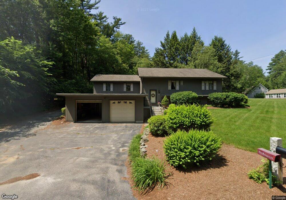
68 Wire Rd Merrimack, NH 03054
Estimated Value: $540,300 - $602,000
2
Beds
2
Baths
2,156
Sq Ft
$263/Sq Ft
Est. Value
About This Home
This home is located at 68 Wire Rd, Merrimack, NH 03054 and is currently estimated at $566,325, approximately $262 per square foot. 68 Wire Rd is a home located in Hillsborough County with nearby schools including Reeds Ferry School, James Mastricola Upper Elementary School, and Merrimack Middle School.
Create a Home Valuation Report for This Property
The Home Valuation Report is an in-depth analysis detailing your home's value as well as a comparison with similar homes in the area
Home Values in the Area
Average Home Value in this Area
Tax History Compared to Growth
Tax History
| Year | Tax Paid | Tax Assessment Tax Assessment Total Assessment is a certain percentage of the fair market value that is determined by local assessors to be the total taxable value of land and additions on the property. | Land | Improvement |
|---|---|---|---|---|
| 2024 | $7,765 | $375,300 | $191,000 | $184,300 |
| 2023 | $7,300 | $375,300 | $191,000 | $184,300 |
| 2022 | $6,523 | $375,300 | $191,000 | $184,300 |
| 2021 | $6,444 | $375,300 | $191,000 | $184,300 |
| 2020 | $6,633 | $275,700 | $134,000 | $141,700 |
| 2019 | $6,653 | $275,700 | $134,000 | $141,700 |
| 2018 | $6,650 | $275,700 | $134,000 | $141,700 |
| 2017 | $6,443 | $275,700 | $134,000 | $141,700 |
| 2016 | $6,283 | $275,700 | $134,000 | $141,700 |
| 2015 | $6,150 | $248,800 | $131,000 | $117,800 |
| 2014 | $5,994 | $248,800 | $131,000 | $117,800 |
| 2013 | $5,949 | $248,800 | $131,000 | $117,800 |
Source: Public Records
Map
Nearby Homes
- 8 Donovan Ct
- 38 Mallard Point
- 22 Clay St
- 5 Barbie Ct
- 98 Indian Rock Rd
- 5 Fernwood Dr
- 19 Vista Way
- 3 Independence Dr
- 10 Kingston Ct Unit 10
- 22 Essex Green Ct
- 12 Clinton Ct
- 11 Essex Green Ct
- 29 Bedford Rd
- 20 Jakes Ln
- 1 Pleasant St
- 8 Highland Green Ln
- 7 Hadley Rd
- 16 Summit Rd
- 7 Beacon Dr
- 14 Mayflower Dr