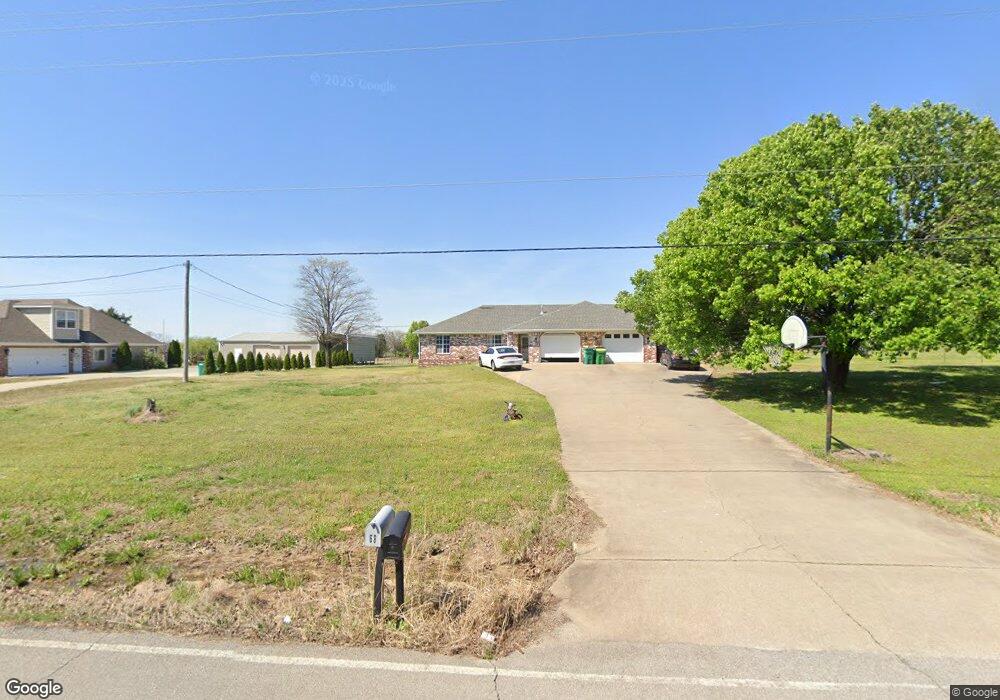
68 Wolfdale Rd Farmington, AR 72730
Estimated Value: $306,000 - $375,000
--
Bed
4
Baths
2,480
Sq Ft
$142/Sq Ft
Est. Value
About This Home
This home is located at 68 Wolfdale Rd, Farmington, AR 72730 and is currently estimated at $351,575, approximately $141 per square foot. 68 Wolfdale Rd is a home located in Washington County with nearby schools including Randall G. Lynch Middle School, Bob Folsom Elementary School, and Farmington Jr. High.
Ownership History
Date
Name
Owned For
Owner Type
Purchase Details
Closed on
Sep 10, 2003
Sold by
Carol Rose Andrews Revocable Trust
Bought by
Taylor Brett and Taylor Christy
Current Estimated Value
Home Financials for this Owner
Home Financials are based on the most recent Mortgage that was taken out on this home.
Original Mortgage
$116,800
Outstanding Balance
$53,152
Interest Rate
6.08%
Mortgage Type
Purchase Money Mortgage
Estimated Equity
$298,423
Purchase Details
Closed on
Nov 4, 1996
Bought by
Andrews Bill K
Purchase Details
Closed on
Jul 13, 1995
Bought by
Andrews Bill K and Andrews Carol R
Purchase Details
Closed on
Nov 7, 1994
Bought by
Andrews Bill K and Andrews Carol R
Purchase Details
Closed on
Mar 9, 1994
Bought by
Andrews Bill K
Create a Home Valuation Report for This Property
The Home Valuation Report is an in-depth analysis detailing your home's value as well as a comparison with similar homes in the area
Home Values in the Area
Average Home Value in this Area
Purchase History
| Date | Buyer | Sale Price | Title Company |
|---|---|---|---|
| Taylor Brett | -- | Nw Arkansas Title | |
| Andrews Bill K | -- | -- | |
| Andrews Bill K | -- | -- | |
| Andrews Bill K | -- | -- | |
| Andrews Bill K | $75,000 | -- |
Source: Public Records
Mortgage History
| Date | Status | Borrower | Loan Amount |
|---|---|---|---|
| Open | Taylor Brett | $116,800 |
Source: Public Records
Tax History Compared to Growth
Tax History
| Year | Tax Paid | Tax Assessment Tax Assessment Total Assessment is a certain percentage of the fair market value that is determined by local assessors to be the total taxable value of land and additions on the property. | Land | Improvement |
|---|---|---|---|---|
| 2025 | $2,237 | $62,260 | $14,000 | $48,260 |
| 2024 | $2,086 | $62,260 | $14,000 | $48,260 |
| 2023 | $1,994 | $62,260 | $14,000 | $48,260 |
| 2022 | $1,812 | $35,870 | $10,000 | $25,870 |
| 2021 | $1,682 | $35,870 | $10,000 | $25,870 |
| 2020 | $1,542 | $35,870 | $10,000 | $25,870 |
| 2019 | $1,407 | $26,010 | $5,000 | $21,010 |
| 2018 | $1,407 | $26,010 | $5,000 | $21,010 |
| 2017 | $1,394 | $26,010 | $5,000 | $21,010 |
| 2016 | $1,394 | $26,010 | $5,000 | $21,010 |
| 2015 | $1,394 | $26,010 | $5,000 | $21,010 |
| 2014 | $1,621 | $30,240 | $5,000 | $25,240 |
Source: Public Records
Map
Nearby Homes
- 216 Idaho Ave
- 142 N Sheep Dog Ave
- 485 W Branta St
- 48 Cedar St
- 93 Old Depot Rd
- 271 Greenfield Ave
- TBD White St
- 10800 Blue Sky Rd
- 10948 Blue Sky Rd
- 311 S Sundown Dr
- 237 Briarhill Dr
- 201 Countryside Dr
- 87 James St
- 285 Briarhill Dr
- 9 Bois d Arc St
- 215 N Broyles St
- TBD E Ralston St
- 179 Birchfield Ln
- 363 E Ralston
- 86 N Banner Ave
- 60 Wolfdale Rd
- 96 Wolfdale Rd
- 63 Wolfdale Rd
- 100 Wolfdale Rd
- 52 Wolfdale Rd
- 40 Wolfdale Rd
- 388 W Snow Bend
- 443 W Snow Bend
- 436 W Snow Bend
- 474 W Snow Bend
- 460 W Snow Bend
- 376 W Snow Bend
- 431 W Snow Bend
- 412 W Snow Bend
- 3330 Red Tail Way
- 400 W Snow Bend
- 3281 Red Tail Way
- 3341 Red Tail Way
- 3170 Red Tail Way
- 24 Wolfdale Rd