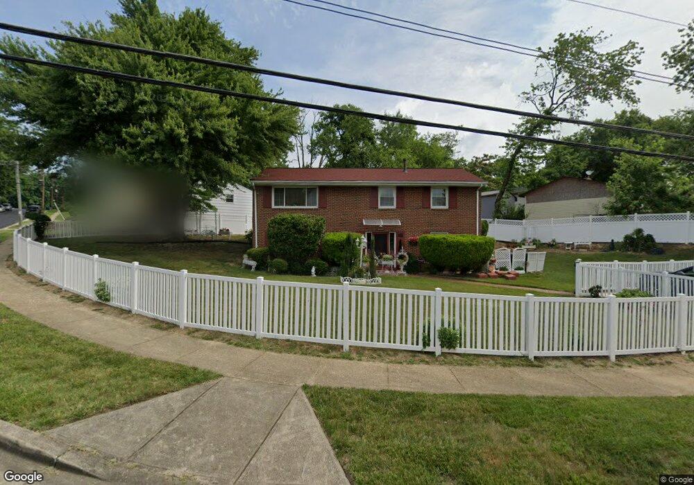
6800 Canyon Dr Capitol Heights, MD 20743
Estimated Value: $328,354 - $387,000
--
Bed
3
Baths
1,008
Sq Ft
$365/Sq Ft
Est. Value
About This Home
This home is located at 6800 Canyon Dr, Capitol Heights, MD 20743 and is currently estimated at $367,589, approximately $364 per square foot. 6800 Canyon Dr is a home located in Prince George's County with nearby schools including Carmody Hills Elementary School, G. James Gholson Middle School, and Central High School.
Ownership History
Date
Name
Owned For
Owner Type
Purchase Details
Closed on
Oct 26, 1998
Sold by
James Betty L
Bought by
Robinson Carolyn A and Robinson Robert L
Current Estimated Value
Purchase Details
Closed on
Jun 1, 1994
Sold by
Minor Mary M
Bought by
James Betty L
Home Financials for this Owner
Home Financials are based on the most recent Mortgage that was taken out on this home.
Original Mortgage
$121,830
Interest Rate
8.49%
Create a Home Valuation Report for This Property
The Home Valuation Report is an in-depth analysis detailing your home's value as well as a comparison with similar homes in the area
Home Values in the Area
Average Home Value in this Area
Purchase History
| Date | Buyer | Sale Price | Title Company |
|---|---|---|---|
| Robinson Carolyn A | -- | -- | |
| James Betty L | $124,900 | -- |
Source: Public Records
Mortgage History
| Date | Status | Borrower | Loan Amount |
|---|---|---|---|
| Previous Owner | James Betty L | $121,830 |
Source: Public Records
Tax History Compared to Growth
Tax History
| Year | Tax Paid | Tax Assessment Tax Assessment Total Assessment is a certain percentage of the fair market value that is determined by local assessors to be the total taxable value of land and additions on the property. | Land | Improvement |
|---|---|---|---|---|
| 2025 | $3,667 | $316,567 | -- | -- |
| 2024 | $3,667 | $308,733 | $0 | $0 |
| 2023 | $3,554 | $300,900 | $61,200 | $239,700 |
| 2022 | $3,342 | $274,667 | $0 | $0 |
| 2021 | $3,144 | $248,433 | $0 | $0 |
| 2020 | $3,019 | $222,200 | $45,600 | $176,600 |
| 2019 | $2,953 | $214,900 | $0 | $0 |
| 2018 | $2,873 | $207,600 | $0 | $0 |
| 2017 | $2,809 | $200,300 | $0 | $0 |
| 2016 | -- | $184,267 | $0 | $0 |
| 2015 | $2,532 | $168,233 | $0 | $0 |
| 2014 | $2,532 | $152,200 | $0 | $0 |
Source: Public Records
Map
Nearby Homes
- 6610 Arlene Dr
- 8 Cindy Ln
- 6706 Central Ave
- 6913 Canyon Dr
- 6610 Central Ave
- 117 Pepper Mill Dr
- 6609 Clinglog St
- 304 Cedarleaf Ave
- 6708 Clinglog St
- 6915 Adel St
- 6604 Valley Park Rd
- 6512 Rolling Ridge Dr
- 418 Cedarleaf Ave
- 600 Goldleaf Ave
- 6905 Drylog St
- 611 Fernleaf Ave
- 418 Saint Margarets Dr
- 209 Addison Rd S
- 421 Saint Margarets Dr
- 423 Saint Margarets Dr
- 113 Cindy Ln
- 6704 Hastings Dr
- 6700 Hastings Dr
- 6706 Hastings Dr
- 115 Cindy Ln
- 110 Cindy Ln
- 6709 Calmos St
- 6708 Hastings Dr
- 117 Cindy Ln
- 6806 Canyon Dr
- 116 Cindy Ln
- 6703 Hastings Dr
- 6705 Hastings Dr
- 6707 Calmos St
- 6707 Hastings Dr
- 119 Cindy Ln
- 6712 Hastings Dr
- 6709 Hastings Dr
- 6808 Canyon Dr
- 6711 Hastings Dr