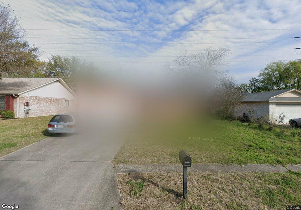
6807 Brookport San Antonio, TX 78238
Estimated Value: $200,000 - $224,000
3
Beds
2
Baths
1,100
Sq Ft
$192/Sq Ft
Est. Value
About This Home
This home is located at 6807 Brookport, San Antonio, TX 78238 and is currently estimated at $210,667, approximately $191 per square foot. 6807 Brookport is a home located in Bexar County with nearby schools including Driggers Elementary School, Neff Middle School, and Wendell Holmes High School.
Ownership History
Date
Name
Owned For
Owner Type
Purchase Details
Closed on
Nov 10, 2015
Sold by
Carrillo Mary G and The Helen S Longoria Living Tr
Bought by
Galan Daniel Michael
Current Estimated Value
Home Financials for this Owner
Home Financials are based on the most recent Mortgage that was taken out on this home.
Original Mortgage
$103,098
Outstanding Balance
$82,336
Interest Rate
4.25%
Mortgage Type
FHA
Estimated Equity
$128,331
Purchase Details
Closed on
May 13, 2010
Sold by
Longoria Helen S
Bought by
Longoria Helen S and Carrillo Mary G
Create a Home Valuation Report for This Property
The Home Valuation Report is an in-depth analysis detailing your home's value as well as a comparison with similar homes in the area
Home Values in the Area
Average Home Value in this Area
Purchase History
| Date | Buyer | Sale Price | Title Company |
|---|---|---|---|
| Galan Daniel Michael | -- | First American Title | |
| Longoria Helen S | -- | Fatco Sa |
Source: Public Records
Mortgage History
| Date | Status | Borrower | Loan Amount |
|---|---|---|---|
| Open | Galan Daniel Michael | $103,098 |
Source: Public Records
Tax History Compared to Growth
Tax History
| Year | Tax Paid | Tax Assessment Tax Assessment Total Assessment is a certain percentage of the fair market value that is determined by local assessors to be the total taxable value of land and additions on the property. | Land | Improvement |
|---|---|---|---|---|
| 2025 | $3,193 | $214,630 | $65,760 | $148,870 |
| 2024 | $3,193 | $203,896 | $53,910 | $152,230 |
| 2023 | $3,193 | $185,360 | $53,910 | $146,380 |
| 2022 | $4,171 | $168,509 | $44,240 | $140,420 |
| 2021 | $3,927 | $153,190 | $41,350 | $111,840 |
| 2020 | $3,669 | $140,646 | $41,350 | $107,790 |
| 2019 | $3,425 | $127,860 | $20,070 | $107,790 |
| 2018 | $3,125 | $116,590 | $20,070 | $96,520 |
| 2017 | $2,936 | $109,350 | $20,070 | $89,280 |
| 2016 | $2,748 | $102,340 | $20,070 | $82,270 |
| 2015 | $473 | $98,460 | $20,070 | $78,390 |
| 2014 | $473 | $89,780 | $0 | $0 |
Source: Public Records
Map
Nearby Homes
- 6827 Brookport
- 4706 Esterbrook
- 6522 Charles Field
- 6608 Sally Agee
- 4723 Spiral Creek
- 4507 Timberhill
- 6641 Sally Agee
- 6539 Benwood Crest
- 6626 Rosewood Crest
- 5011 Royal Stable
- 4703 Hidden Creek
- 4735 Brook Dr N
- 4835 Adkins Trail
- 46 Weathering Creek
- 47 Weathering Creek
- 7410 Saddle Bend Dr
- 6 Talon Brook
- 12 Weathering Creek
- 5731 Timber Bend
- 4 Weathering Creek
- 6803 Brookport
- 6811 Brookport
- 6815 Brookport
- 6806 Brookport
- 6802 Brookport
- 6801 Brookport
- 6810 Brookport
- 6819 Brookport
- 6814 Brookport
- 5026 Doverbrook
- 5022 Doverbrook
- 5018 Doverbrook
- 6818 Brookport
- 6823 Brookport
- 6803 Brookfield
- 6811 Brookfield
- 5014 Doverbrook
- 6815 Brookfield
- 5010 Doverbrook
- 6819 Brookfield