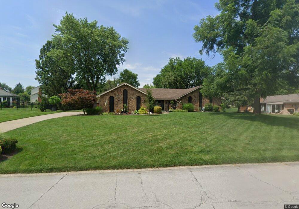
6809 Carinthia Dr Dayton, OH 45459
Woodbourne-Hyde Park NeighborhoodEstimated Value: $335,000 - $427,000
3
Beds
3
Baths
2,252
Sq Ft
$170/Sq Ft
Est. Value
About This Home
This home is located at 6809 Carinthia Dr, Dayton, OH 45459 and is currently estimated at $383,609, approximately $170 per square foot. 6809 Carinthia Dr is a home located in Montgomery County with nearby schools including Miamisburg High School, Miami Valley Academies, and Bishop Leibold School.
Ownership History
Date
Name
Owned For
Owner Type
Purchase Details
Closed on
Nov 5, 2013
Sold by
Burek Joseph and Burek Kathryn
Bought by
Burek Joseph J and Burek Kathryn Mark
Current Estimated Value
Purchase Details
Closed on
Jun 1, 2006
Sold by
Kemper Michael L and Kemper Denise
Bought by
Burek Joseph and Burek Kathryn
Purchase Details
Closed on
Dec 14, 2001
Sold by
Kemper Michael L
Bought by
Kemper Michael L and Kemper Denise
Home Financials for this Owner
Home Financials are based on the most recent Mortgage that was taken out on this home.
Original Mortgage
$109,000
Interest Rate
6.52%
Purchase Details
Closed on
Sep 19, 1997
Sold by
Orum Jerold R and Orum Maxine H
Bought by
Kemper Michael L
Create a Home Valuation Report for This Property
The Home Valuation Report is an in-depth analysis detailing your home's value as well as a comparison with similar homes in the area
Home Values in the Area
Average Home Value in this Area
Purchase History
| Date | Buyer | Sale Price | Title Company |
|---|---|---|---|
| Burek Joseph J | -- | None Available | |
| Burek Joseph | $175,000 | None Available | |
| Kemper Michael L | -- | Evans Title Agency Inc | |
| Kemper Michael L | $157,000 | -- |
Source: Public Records
Mortgage History
| Date | Status | Borrower | Loan Amount |
|---|---|---|---|
| Closed | Kemper Michael L | $109,000 |
Source: Public Records
Tax History Compared to Growth
Tax History
| Year | Tax Paid | Tax Assessment Tax Assessment Total Assessment is a certain percentage of the fair market value that is determined by local assessors to be the total taxable value of land and additions on the property. | Land | Improvement |
|---|---|---|---|---|
| 2024 | $6,289 | $99,410 | $22,750 | $76,660 |
| 2023 | $6,289 | $99,410 | $22,750 | $76,660 |
| 2022 | $5,560 | $76,470 | $17,500 | $58,970 |
| 2021 | $5,246 | $76,470 | $17,500 | $58,970 |
| 2020 | $5,158 | $76,470 | $17,500 | $58,970 |
| 2019 | $4,832 | $66,200 | $17,500 | $48,700 |
| 2018 | $5,525 | $66,200 | $17,500 | $48,700 |
| 2017 | $5,492 | $66,200 | $17,500 | $48,700 |
| 2016 | $5,343 | $61,750 | $17,500 | $44,250 |
| 2015 | $5,252 | $61,750 | $17,500 | $44,250 |
| 2014 | $5,252 | $61,750 | $17,500 | $44,250 |
| 2012 | -- | $62,580 | $21,840 | $40,740 |
Source: Public Records
Map
Nearby Homes
- 1931 Alda Ct
- 2216 Tyrol Trail
- 6630 Carinthia Dr
- 2592 Vienna Estates Dr
- 6401 Broken Arrow Place
- 7061 Rivendell Cir
- 7055 Rivendell Cir
- 6864 Rose Glen Dr
- 6867 Rose Glen Dr
- 6297 Karlsridge Dr
- 6340 Crimson Creek Ln
- 2132 Sycamore Hills Dr
- 550 Crossing Ln
- 488 Crossing Ln
- 1464 W Alex Bell Rd
- 2396 Vienna Pkwy
- 2347 Spring Rose Dr
- 1553 Roamont Dr
- 2727 Pinegrove Dr
- 3091 Simpson Ct
- 2000 Cortina Dr
- 6840 Rhineview Ct
- 2020 Cortina Dr
- 6830 Rhineview Ct
- 6810 Carinthia Dr
- 1960 Cortina Dr
- 2032 Cortina Dr
- 6820 Carinthia Dr
- 6820 Rhineview Ct
- 6841 Rhineview Ct
- 6761 Carinthia Dr
- 2011 Cortina Dr
- 6825 Rhineview Ct
- 1950 Cortina Dr
- 6830 Carinthia Dr
- 2042 Cortina Dr
- 2021 Cortina Dr
- 2141 Edelweiss Ct
- 6810 Rhineview Ct
- 2031 Cortina Dr