681 River Rd Westmoreland, NH 03467
Estimated Value: $587,000 - $795,000
3
Beds
2
Baths
2,385
Sq Ft
$283/Sq Ft
Est. Value
About This Home
This home is located at 681 River Rd, Westmoreland, NH 03467 and is currently estimated at $675,572, approximately $283 per square foot. 681 River Rd is a home located in Cheshire County with nearby schools including Mayland Early College High School and Keene High School.
Ownership History
Date
Name
Owned For
Owner Type
Purchase Details
Closed on
Mar 15, 2011
Sold by
Martens Russell A and Martens Pamela K
Bought by
Hubert Jeanette P
Current Estimated Value
Purchase Details
Closed on
Oct 19, 2005
Sold by
Almdale Scott H and Almdale Karen I
Bought by
Martens Russell A and Martens Pamela K
Home Financials for this Owner
Home Financials are based on the most recent Mortgage that was taken out on this home.
Original Mortgage
$314,500
Interest Rate
5.72%
Create a Home Valuation Report for This Property
The Home Valuation Report is an in-depth analysis detailing your home's value as well as a comparison with similar homes in the area
Home Values in the Area
Average Home Value in this Area
Purchase History
| Date | Buyer | Sale Price | Title Company |
|---|---|---|---|
| Hubert Jeanette P | $430,000 | -- | |
| Martens Russell A | $370,000 | -- | |
| Martens Pamela E | $370,000 | -- |
Source: Public Records
Mortgage History
| Date | Status | Borrower | Loan Amount |
|---|---|---|---|
| Previous Owner | Martens Pamela E | $314,500 |
Source: Public Records
Tax History Compared to Growth
Tax History
| Year | Tax Paid | Tax Assessment Tax Assessment Total Assessment is a certain percentage of the fair market value that is determined by local assessors to be the total taxable value of land and additions on the property. | Land | Improvement |
|---|---|---|---|---|
| 2024 | $9,331 | $404,639 | $88,939 | $315,700 |
| 2023 | $8,617 | $404,731 | $89,031 | $315,700 |
| 2022 | $8,232 | $400,589 | $89,089 | $311,500 |
| 2021 | $7,744 | $379,602 | $89,102 | $290,500 |
| 2020 | $7,567 | $297,932 | $58,432 | $239,500 |
| 2019 | $8,000 | $297,957 | $58,457 | $239,500 |
| 2018 | $7,592 | $297,949 | $58,449 | $239,500 |
| 2017 | $7,448 | $297,912 | $58,412 | $239,500 |
| 2016 | $7,396 | $297,864 | $58,364 | $239,500 |
| 2015 | $6,905 | $316,585 | $61,485 | $255,100 |
| 2014 | $6,551 | $300,782 | $61,482 | $239,300 |
| 2012 | $6,315 | $298,856 | $71,556 | $227,300 |
Source: Public Records
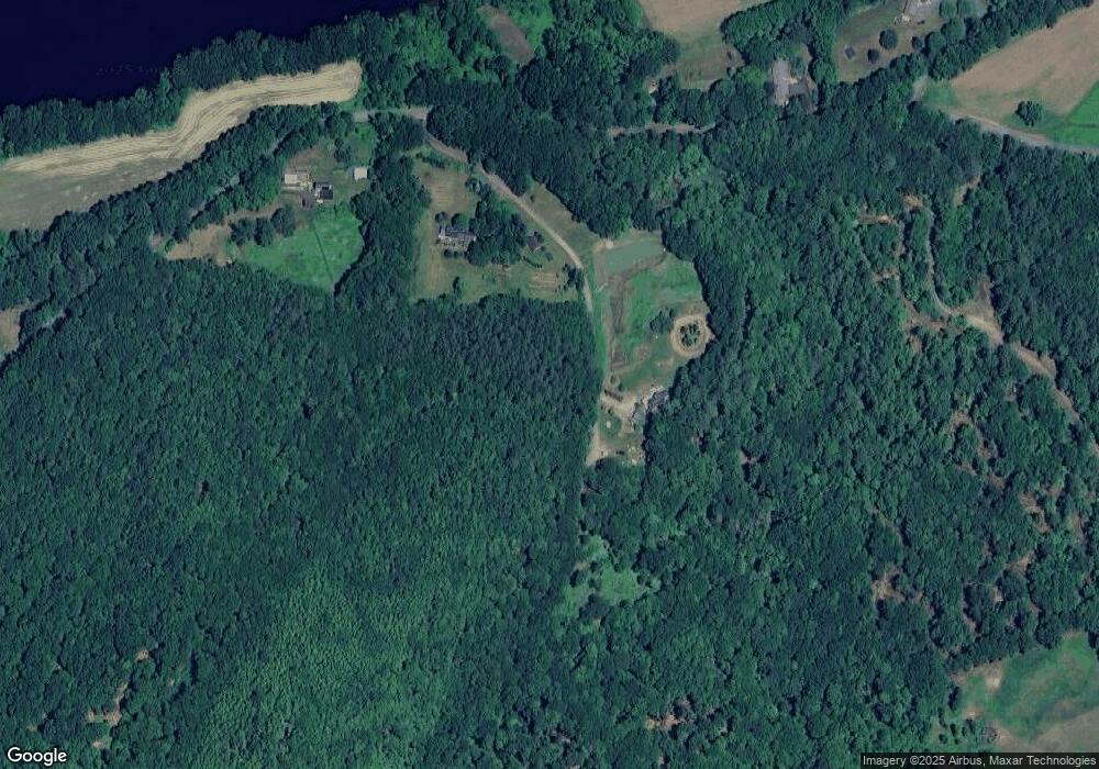
Map
Nearby Homes
- 119 Main St
- 13 Kimball Hill
- 1123 River Rd
- 37 Fred Houghton Rd
- 62 Westminster Rd
- 4 Signal Pine Rd
- 135 Fred Houghton Rd
- 153 Westminster Rd
- 159 Westminster Rd
- 601 River Rd S
- 203 Westminster Rd
- 00 S Pine Banks Rd
- 40 E Putney Brook Rd
- 00 E Putney Brook Rd
- 212 S Pine Banks Rd
- 932 Middle Rd
- 30 Farr Rd
- 123 Poocham Rd
- Lot 20 -20.3 Farr Rd
- 136 Cross Rd