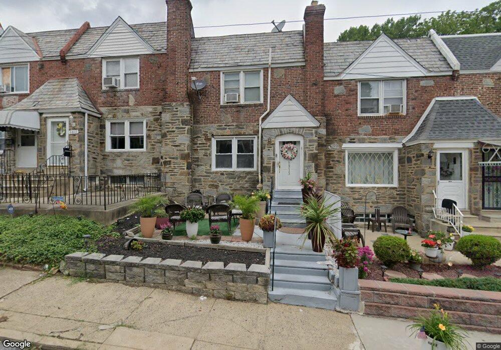
6815 Radbourne Rd Upper Darby, PA 19082
Estimated Value: $171,000 - $190,000
3
Beds
2
Baths
1,314
Sq Ft
$136/Sq Ft
Est. Value
About This Home
This home is located at 6815 Radbourne Rd, Upper Darby, PA 19082 and is currently estimated at $178,660, approximately $135 per square foot. 6815 Radbourne Rd is a home located in Delaware County with nearby schools including Upper Darby High School, KIPP West Philadelphia Preparatory Chart, and SS. Cyril & Philomena Catholic School.
Ownership History
Date
Name
Owned For
Owner Type
Purchase Details
Closed on
Jul 26, 2005
Sold by
Porter Ethelda and Taylor Novelette G
Bought by
Romney Germaine J
Current Estimated Value
Home Financials for this Owner
Home Financials are based on the most recent Mortgage that was taken out on this home.
Original Mortgage
$101,480
Interest Rate
5.92%
Mortgage Type
Fannie Mae Freddie Mac
Purchase Details
Closed on
Jul 20, 2001
Sold by
Porter Ethelda and Hall Dixene
Bought by
Porter Ethelda and Taylor Novelette G
Purchase Details
Closed on
Jul 28, 1995
Sold by
Thompson James K and Thompson Antoinette
Bought by
Porter Ethelda and Hall Dixene
Home Financials for this Owner
Home Financials are based on the most recent Mortgage that was taken out on this home.
Original Mortgage
$68,900
Interest Rate
7.48%
Mortgage Type
FHA
Create a Home Valuation Report for This Property
The Home Valuation Report is an in-depth analysis detailing your home's value as well as a comparison with similar homes in the area
Home Values in the Area
Average Home Value in this Area
Purchase History
| Date | Buyer | Sale Price | Title Company |
|---|---|---|---|
| Romney Germaine J | $101,480 | None Available | |
| Porter Ethelda | -- | Commonwealth Land Title Ins | |
| Porter Ethelda | $69,000 | Commonwealth Land Title Ins |
Source: Public Records
Mortgage History
| Date | Status | Borrower | Loan Amount |
|---|---|---|---|
| Previous Owner | Romney Germaine J | $101,480 | |
| Previous Owner | Porter Ethelda | $68,900 |
Source: Public Records
Tax History Compared to Growth
Tax History
| Year | Tax Paid | Tax Assessment Tax Assessment Total Assessment is a certain percentage of the fair market value that is determined by local assessors to be the total taxable value of land and additions on the property. | Land | Improvement |
|---|---|---|---|---|
| 2025 | $3,749 | $88,640 | $14,720 | $73,920 |
| 2024 | $3,749 | $88,640 | $14,720 | $73,920 |
| 2023 | $3,713 | $88,640 | $14,720 | $73,920 |
| 2022 | $3,614 | $88,640 | $14,720 | $73,920 |
| 2021 | $4,872 | $88,640 | $14,720 | $73,920 |
| 2020 | $3,622 | $55,990 | $18,400 | $37,590 |
| 2019 | $3,558 | $55,990 | $18,400 | $37,590 |
| 2018 | $3,517 | $55,990 | $0 | $0 |
| 2017 | $3,426 | $55,990 | $0 | $0 |
| 2016 | $307 | $55,990 | $0 | $0 |
| 2015 | $307 | $55,990 | $0 | $0 |
| 2014 | $307 | $55,990 | $0 | $0 |
Source: Public Records
Map
Nearby Homes
- 703 Briarcliff Rd
- 607 Briarcliff Rd
- 6858 Clover Ln
- 7000 Greenwood Ave
- 6243 Carpenter St
- 7046 Radbourne Rd
- 6230 Carpenter St
- 6217 Cobbs Creek Pkwy
- 6212 Ellsworth St
- 719 Cobbs Creek Pkwy
- 6202 Ellsworth St
- 558 Snowden Rd
- 540 Snowden Rd
- 7042 Clinton Rd
- 7123 Seaford Rd
- 6736 Montgomery Ave
- 7129 Seaford Rd
- 7026 Atlantic Ave
- 7162 Radbourne Rd
- 7155 Radbourne Rd
- 6817 Radbourne Rd
- 6819 Radbourne Rd
- 6813 Radbourne Rd
- 6821 Radbourne Rd
- 6811 Radbourne Rd
- 6823 Radbourne Rd
- 6809 Radbourne Rd
- 6825 Radbourne Rd
- 651 Briarcliff Rd
- 6807 Radbourne Rd
- 649 Briarcliff Rd
- 6827 Radbourne Rd
- 647 Briarcliff Rd
- 6805 Radbourne Rd
- 6814 Radbourne Rd
- 6816 Radbourne Rd
- 6818 Radbourne Rd
- 6829 Radbourne Rd
- 6820 Radbourne Rd
- 645 Briarcliff Rd