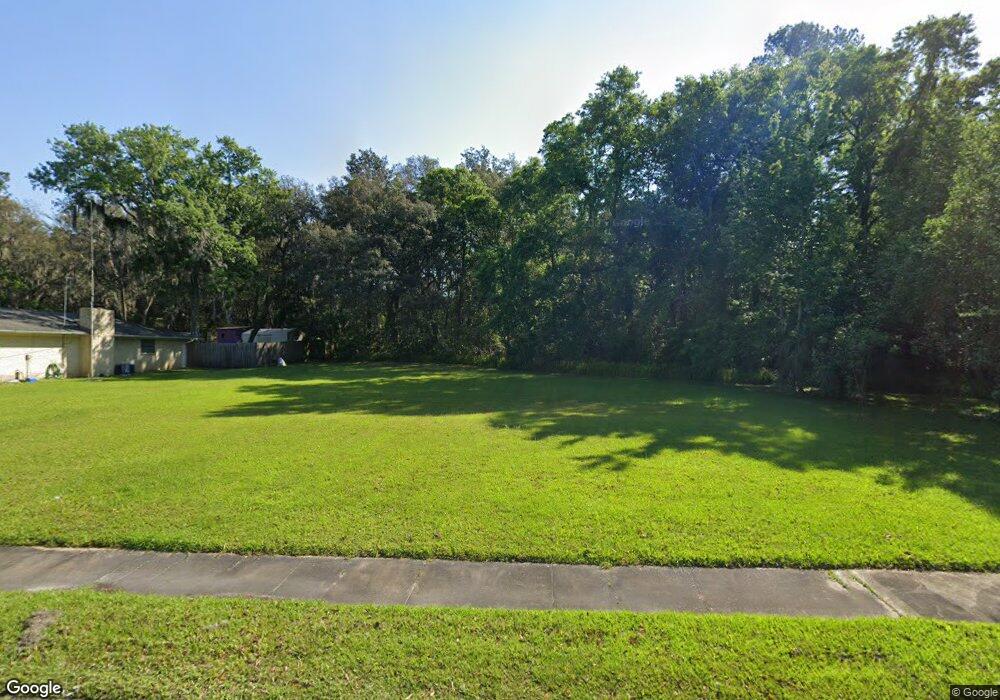
6817 Bakersfield Dr Jacksonville, FL 32210
Hyde Park NeighborhoodEstimated Value: $221,000 - $616,233
3
Beds
3
Baths
1,764
Sq Ft
$237/Sq Ft
Est. Value
About This Home
This home is located at 6817 Bakersfield Dr, Jacksonville, FL 32210 and is currently estimated at $418,617, approximately $237 per square foot. 6817 Bakersfield Dr is a home located in Duval County with nearby schools including Andros Karperos, Hyde Park Elementary School, and Lake Shore Middle School.
Ownership History
Date
Name
Owned For
Owner Type
Purchase Details
Closed on
Jun 18, 2013
Sold by
Suchey David E and Suchey Joanne R
Bought by
City Of Jacksonville
Current Estimated Value
Purchase Details
Closed on
Dec 30, 1998
Sold by
Farhat Joseph S and Farhat Diana S
Bought by
Suchey David E and Suchey Joanne R
Home Financials for this Owner
Home Financials are based on the most recent Mortgage that was taken out on this home.
Original Mortgage
$107,712
Interest Rate
6.77%
Mortgage Type
Commercial
Create a Home Valuation Report for This Property
The Home Valuation Report is an in-depth analysis detailing your home's value as well as a comparison with similar homes in the area
Home Values in the Area
Average Home Value in this Area
Purchase History
| Date | Buyer | Sale Price | Title Company |
|---|---|---|---|
| City Of Jacksonville | $230,000 | None Available | |
| Suchey David E | $105,600 | -- |
Source: Public Records
Mortgage History
| Date | Status | Borrower | Loan Amount |
|---|---|---|---|
| Previous Owner | Suchey David E | $107,712 |
Source: Public Records
Tax History Compared to Growth
Tax History
| Year | Tax Paid | Tax Assessment Tax Assessment Total Assessment is a certain percentage of the fair market value that is determined by local assessors to be the total taxable value of land and additions on the property. | Land | Improvement |
|---|---|---|---|---|
| 2025 | -- | $1,330 | $1,330 | -- |
| 2024 | -- | $1,330 | $1,330 | -- |
| 2023 | -- | $1,330 | $1,330 | $0 |
| 2022 | $0 | $1,330 | $1,330 | $0 |
| 2021 | $0 | $1,330 | $1,330 | $0 |
| 2020 | $0 | $1,330 | $1,330 | $0 |
| 2019 | $0 | $1,330 | $1,330 | $0 |
| 2018 | $0 | $1,330 | $1,330 | $0 |
| 2017 | $0 | $1,330 | $1,330 | $0 |
| 2016 | $0 | $1,330 | $0 | $0 |
| 2015 | -- | $1,330 | $0 | $0 |
| 2014 | -- | $23,956 | $0 | $0 |
Source: Public Records
Map
Nearby Homes
- 6938 Hanson Dr N
- 6717 Bakersfield Dr
- 6711 Bakersfield Dr
- 1728 Londonderry Rd
- 6803 Golfview St
- 1627 Westminister Ave
- 1465 Manotak Point Dr Unit 104
- 6914 Alachua Ave
- 1704 Memory Ln
- 1465 Winnebago Ave
- 1832 Navaho Ave
- 7132 Hanson Dr N
- 1438 Ron Rd
- 1454 Winnebago Ave
- 6819 Mcmullin St
- 6039 Hyde Park Cir
- 1341 Ottawa Ave
- 7004 Dayton Rd
- 7219 Mimosa Grove Trail
- 7249 Mimosa Grove Trail
- 6824 Bakersfield Dr
- 6827 Bakersfield Dr
- 6832 Bakersfield Dr
- 6814 Bakersfield Dr
- 6804 Bakersfield Dr
- 6842 Bakersfield Dr
- 6847 Bakersfield Dr
- 6771 Bakersfield Dr
- 6850 Bakersfield Dr
- 6774 Bakersfield Dr
- 6749 Bakersfield Dr
- 6729 Sioux Ave
- 6864 Bakersfield Dr Unit 3
- 6739 Bakersfield Dr
- 6859 Bakersfield Dr
- 6768 Bakersfield Dr
- 1583 Montrose Ave E
- 6760 Bakersfield Dr
- 6872 Bakersfield Dr
- 6731 Bakersfield Dr