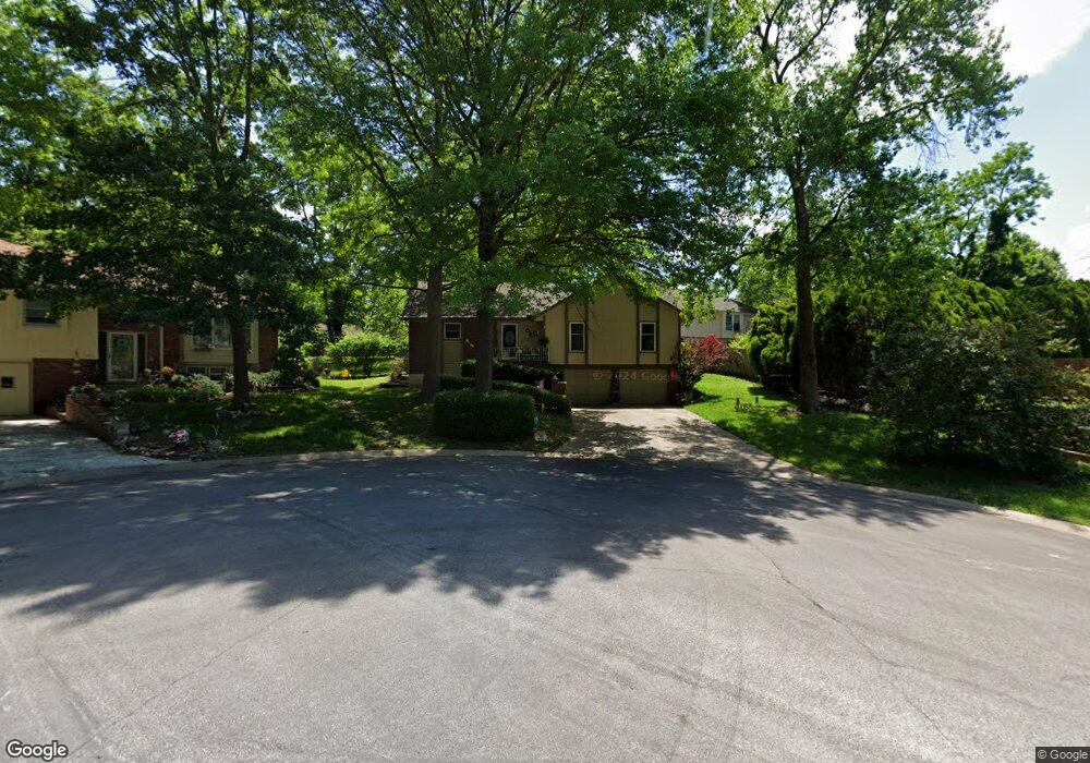
6817 Wildwood Dr Raytown, MO 64133
Estimated Value: $254,765 - $290,000
3
Beds
2
Baths
1,517
Sq Ft
$182/Sq Ft
Est. Value
About This Home
This home is located at 6817 Wildwood Dr, Raytown, MO 64133 and is currently estimated at $275,691, approximately $181 per square foot. 6817 Wildwood Dr is a home located in Jackson County with nearby schools including Robinson Elementary School, Raytown Central Middle School, and Raytown South High School.
Ownership History
Date
Name
Owned For
Owner Type
Purchase Details
Closed on
Jun 29, 2001
Sold by
Rose Lillian K and Rowe Lillian K
Bought by
Green Lionel L and Green Detrice J
Current Estimated Value
Home Financials for this Owner
Home Financials are based on the most recent Mortgage that was taken out on this home.
Original Mortgage
$116,850
Outstanding Balance
$44,413
Interest Rate
7.11%
Mortgage Type
Purchase Money Mortgage
Estimated Equity
$231,278
Purchase Details
Closed on
Sep 17, 1996
Sold by
Rose Douglas M
Bought by
Rose Lillian K
Create a Home Valuation Report for This Property
The Home Valuation Report is an in-depth analysis detailing your home's value as well as a comparison with similar homes in the area
Home Values in the Area
Average Home Value in this Area
Purchase History
| Date | Buyer | Sale Price | Title Company |
|---|---|---|---|
| Green Lionel L | -- | Old Republic Title | |
| Rose Lillian K | -- | -- |
Source: Public Records
Mortgage History
| Date | Status | Borrower | Loan Amount |
|---|---|---|---|
| Open | Green Lionel L | $116,850 |
Source: Public Records
Tax History Compared to Growth
Tax History
| Year | Tax Paid | Tax Assessment Tax Assessment Total Assessment is a certain percentage of the fair market value that is determined by local assessors to be the total taxable value of land and additions on the property. | Land | Improvement |
|---|---|---|---|---|
| 2025 | $3,610 | $37,189 | $5,242 | $31,947 |
| 2024 | $3,586 | $40,022 | $4,104 | $35,918 |
| 2023 | $3,586 | $40,021 | $3,241 | $36,780 |
| 2022 | $2,645 | $28,120 | $4,475 | $23,645 |
| 2021 | $2,654 | $28,120 | $4,475 | $23,645 |
| 2020 | $2,546 | $26,711 | $4,475 | $22,236 |
| 2019 | $2,532 | $26,711 | $4,475 | $22,236 |
| 2018 | $932,895 | $23,104 | $4,280 | $18,824 |
| 2017 | $2,050 | $23,104 | $4,280 | $18,824 |
| 2016 | $2,050 | $22,525 | $3,131 | $19,394 |
| 2014 | $2,012 | $21,869 | $3,040 | $18,829 |
Source: Public Records
Map
Nearby Homes
- 6812 Wildwood Dr
- 6727 Harvard Ave
- 6716 Sterling Ave
- 6828 Vermont Ave
- 7007 Lakeshore Dr
- 6710 Woodson Rd
- 6716 Appleton Ave
- 10800 Lakeview Rd
- 6817 Lakeshore Dr
- 10920 E 71st Terrace
- 6423 Harris Ave
- 10501 E 69th St
- 6410 Harvard Ave
- 7200 Sterling Ave
- 6619 Willow Ave
- 6407 Harvard Ave
- 6605 Willow Ave
- 10401 E 70th Terrace
- 6322 Norwood Ct
- 7236 Crisp Ave
- 6820 Crisp Ave
- 6813 Wildwood Dr
- 6821 Wildwood Dr
- 6824 Crisp Ave
- 6819 Crisp Ave
- 6825 Wildwood Dr
- 6825 Crisp Ave
- 6816 Wildwood Dr
- 6820 Wildwood Dr
- 6828 Crisp Ave
- 6829 Wildwood Dr
- 6829 Crisp Ave
- 6809 Crisp Ave
- 6824 Wildwood Dr
- 11212 Lakeview Rd
- 6900 Crisp Ave
- 6901 Wildwood Dr
- 6828 Wildwood Dr
- 6824 Englewood Ave
- 6820 Englewood Ave