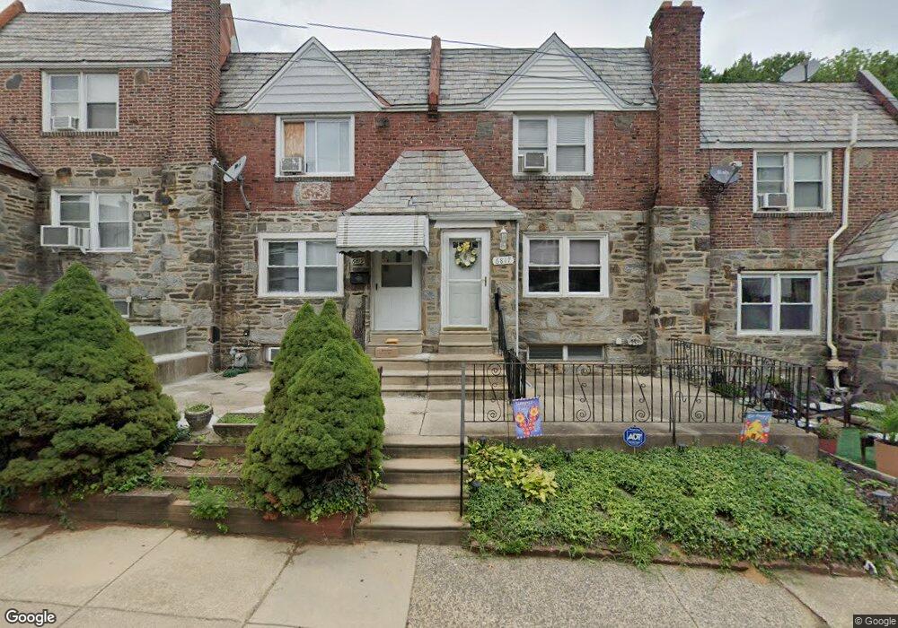
6819 Radbourne Rd Upper Darby, PA 19082
Estimated Value: $161,000 - $195,000
4
Beds
2
Baths
1,314
Sq Ft
$137/Sq Ft
Est. Value
About This Home
This home is located at 6819 Radbourne Rd, Upper Darby, PA 19082 and is currently estimated at $179,726, approximately $136 per square foot. 6819 Radbourne Rd is a home located in Delaware County with nearby schools including Upper Darby High School, KIPP West Philadelphia Preparatory Chart, and SS. Cyril & Philomena Catholic School.
Ownership History
Date
Name
Owned For
Owner Type
Purchase Details
Closed on
Mar 24, 2010
Sold by
Mirza Raffat and Mirza Farhat
Bought by
Kollie William M
Current Estimated Value
Home Financials for this Owner
Home Financials are based on the most recent Mortgage that was taken out on this home.
Original Mortgage
$79,532
Outstanding Balance
$53,418
Interest Rate
5.25%
Mortgage Type
FHA
Estimated Equity
$126,308
Purchase Details
Closed on
Jul 31, 1997
Sold by
Guistwhite Jeffrey A and Guistwhite Dorene L
Bought by
Mirza Raffat and Mirza Farhat
Home Financials for this Owner
Home Financials are based on the most recent Mortgage that was taken out on this home.
Original Mortgage
$58,435
Interest Rate
7.5%
Mortgage Type
FHA
Create a Home Valuation Report for This Property
The Home Valuation Report is an in-depth analysis detailing your home's value as well as a comparison with similar homes in the area
Home Values in the Area
Average Home Value in this Area
Purchase History
| Date | Buyer | Sale Price | Title Company |
|---|---|---|---|
| Kollie William M | $81,000 | None Available | |
| Mirza Raffat | $58,500 | Commonwealth Land Title Ins |
Source: Public Records
Mortgage History
| Date | Status | Borrower | Loan Amount |
|---|---|---|---|
| Open | Kollie William M | $79,532 | |
| Previous Owner | Mirza Raffat | $58,435 |
Source: Public Records
Tax History Compared to Growth
Tax History
| Year | Tax Paid | Tax Assessment Tax Assessment Total Assessment is a certain percentage of the fair market value that is determined by local assessors to be the total taxable value of land and additions on the property. | Land | Improvement |
|---|---|---|---|---|
| 2025 | $3,753 | $88,730 | $14,810 | $73,920 |
| 2024 | $3,753 | $88,730 | $14,810 | $73,920 |
| 2023 | $3,717 | $88,730 | $14,810 | $73,920 |
| 2022 | $3,617 | $88,730 | $14,810 | $73,920 |
| 2021 | $4,877 | $88,730 | $14,810 | $73,920 |
| 2020 | $3,630 | $56,110 | $18,520 | $37,590 |
| 2019 | $3,566 | $56,110 | $18,520 | $37,590 |
| 2018 | $3,525 | $56,110 | $0 | $0 |
| 2017 | $3,433 | $56,110 | $0 | $0 |
| 2016 | $308 | $56,110 | $0 | $0 |
| 2015 | $308 | $56,110 | $0 | $0 |
| 2014 | $308 | $56,110 | $0 | $0 |
Source: Public Records
Map
Nearby Homes
- 703 Briarcliff Rd
- 607 Briarcliff Rd
- 6858 Clover Ln
- 7000 Greenwood Ave
- 7046 Radbourne Rd
- 6243 Carpenter St
- 6230 Carpenter St
- 6217 Cobbs Creek Pkwy
- 6212 Ellsworth St
- 719 Cobbs Creek Pkwy
- 6202 Ellsworth St
- 558 Snowden Rd
- 540 Snowden Rd
- 7042 Clinton Rd
- 7123 Seaford Rd
- 7129 Seaford Rd
- 7026 Atlantic Ave
- 6736 Montgomery Ave
- 7162 Radbourne Rd
- 7155 Radbourne Rd
- 6821 Radbourne Rd
- 6817 Radbourne Rd
- 6823 Radbourne Rd
- 6815 Radbourne Rd
- 6825 Radbourne Rd
- 6813 Radbourne Rd
- 651 Briarcliff Rd
- 6827 Radbourne Rd
- 6811 Radbourne Rd
- 649 Briarcliff Rd
- 6809 Radbourne Rd
- 6829 Radbourne Rd
- 647 Briarcliff Rd
- 6816 Radbourne Rd
- 6818 Radbourne Rd
- 6814 Radbourne Rd
- 6807 Radbourne Rd
- 6820 Radbourne Rd
- 645 Briarcliff Rd
- 6822 Radbourne Rd