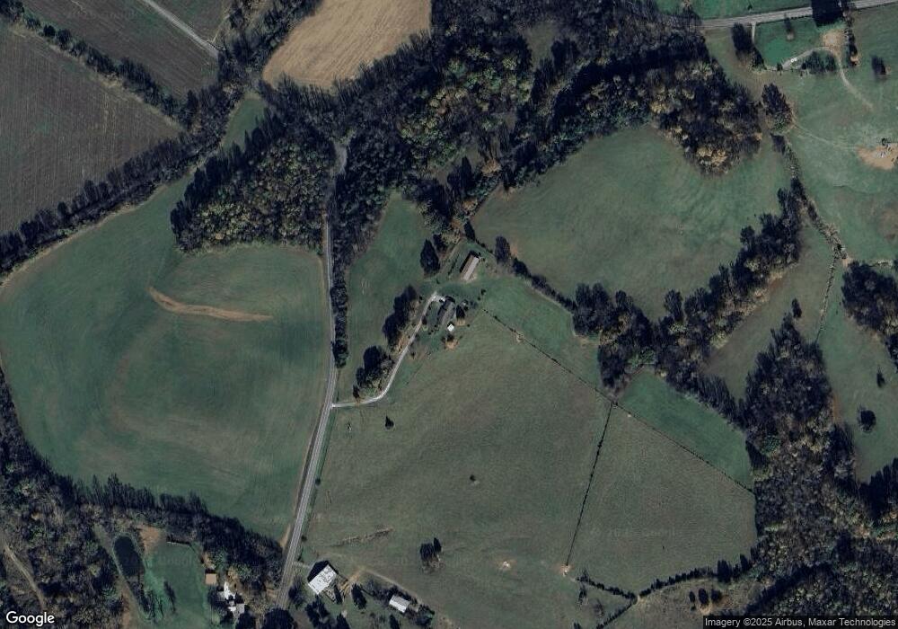
682 Sands Rd Sweetwater, TN 37874
Estimated Value: $422,000 - $2,300,977
--
Bed
2
Baths
1,728
Sq Ft
$788/Sq Ft
Est. Value
About This Home
This home is located at 682 Sands Rd, Sweetwater, TN 37874 and is currently estimated at $1,361,489, approximately $787 per square foot. 682 Sands Rd is a home located in Monroe County with nearby schools including Sweetwater Primary School, Sweetwater Elementary School, and Sweetwater Junior High School.
Ownership History
Date
Name
Owned For
Owner Type
Purchase Details
Closed on
Jun 21, 2025
Sold by
Pratt Carolyn and Pratt Carolyn J
Bought by
Pratt Gregory Allen
Current Estimated Value
Purchase Details
Closed on
Jan 4, 1999
Bought by
Pratt Glyn A and Pratt Carolyn J
Purchase Details
Closed on
Jul 12, 1994
Bought by
Pratt Glyn A and Pratt Carolyn J
Purchase Details
Closed on
Jun 16, 1989
Bought by
Vineyard Alice C
Create a Home Valuation Report for This Property
The Home Valuation Report is an in-depth analysis detailing your home's value as well as a comparison with similar homes in the area
Home Values in the Area
Average Home Value in this Area
Purchase History
| Date | Buyer | Sale Price | Title Company |
|---|---|---|---|
| Pratt Gregory Allen | -- | None Listed On Document | |
| Pratt Gregory Allen | -- | None Listed On Document | |
| Pratt Glyn A | $100 | -- | |
| Pratt Glyn A | $126,500 | -- | |
| Vineyard Alice C | -- | -- |
Source: Public Records
Tax History Compared to Growth
Tax History
| Year | Tax Paid | Tax Assessment Tax Assessment Total Assessment is a certain percentage of the fair market value that is determined by local assessors to be the total taxable value of land and additions on the property. | Land | Improvement |
|---|---|---|---|---|
| 2025 | $1,875 | $123,100 | $0 | $0 |
| 2024 | $1,875 | $123,100 | $39,950 | $83,150 |
| 2023 | $1,875 | $123,100 | $39,950 | $83,150 |
| 2022 | $1,959 | $87,450 | $35,750 | $51,700 |
| 2021 | $1,959 | $87,450 | $35,750 | $51,700 |
| 2020 | $1,917 | $85,575 | $35,750 | $49,825 |
| 2019 | $1,694 | $85,575 | $35,750 | $49,825 |
| 2018 | $1,694 | $85,575 | $35,750 | $49,825 |
| 2017 | $1,675 | $79,975 | $35,550 | $44,425 |
| 2016 | $1,675 | $79,975 | $35,550 | $44,425 |
| 2015 | $1,675 | $79,975 | $35,550 | $44,425 |
| 2014 | $1,675 | $79,982 | $0 | $0 |
Source: Public Records
Map
Nearby Homes
- 197 Knob Crossing
- 109 McDonald Rd
- 0 McDonald Rd
- 0 Sands Rd Unit 25208779
- 325 Cherokee Cir
- 304 Lees Chapel Rd
- 169 Lees Chapel Rd
- 0 Hwy 68
- 1109 Sands Rd
- 667 Frontier Rd
- 212 Terry Ln
- 593 Lees Chapel Rd
- 327 Thompson Rd
- 147 J McCauley Rd
- 191 Woodby Fridley Rd
- 3225 New Highway 68
- 253 Old Christianburg Rd
- 162 Cheoah Trail
- 221 Woodby Fridley Rd
- 227 Woodby Fridley Rd
- 655 Sands Rd
- 121 Knob Crossing
- 504 Sands Rd
- 254 Kile Rd
- 349 Sands Rd
- 144 Vineyard Rd
- 156 Vineyard Rd
- 339 Sands Rd
- 155 Vineyard Rd
- 0 Sands Rd Off Rd Unit 880315
- 165 Vineyard Rd
- 456 Sands Rd
- 180 Knob Crossing
- 319 Sands Rd
- 413 Sands Rd
- 864 Sands Rd
- 330 Sands Rd
- 124 McDonald Rd
- 108 McDonald Rd
- 112 McDonald Rd
