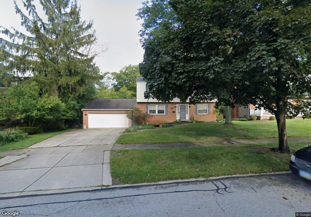
6820 Sandy Hook Dr Cleveland, OH 44134
Estimated Value: $315,153 - $327,000
4
Beds
2
Baths
2,072
Sq Ft
$156/Sq Ft
Est. Value
About This Home
This home is located at 6820 Sandy Hook Dr, Cleveland, OH 44134 and is currently estimated at $323,288, approximately $156 per square foot. 6820 Sandy Hook Dr is a home located in Cuyahoga County with nearby schools including Green Valley Elementary School, Normandy High School, and Hillside Middle School.
Ownership History
Date
Name
Owned For
Owner Type
Purchase Details
Closed on
Jun 14, 1999
Sold by
Rowan John H Trs
Bought by
Mcnulty Thomas J and Mcnulty Patti A
Current Estimated Value
Home Financials for this Owner
Home Financials are based on the most recent Mortgage that was taken out on this home.
Original Mortgage
$100,000
Outstanding Balance
$26,243
Interest Rate
6.99%
Estimated Equity
$297,045
Purchase Details
Closed on
Jul 20, 1983
Sold by
Rowan John H and Rowan Elinor M
Bought by
Rowan John H
Purchase Details
Closed on
Oct 22, 1975
Sold by
Babcock Mary V and Babcock Paul V
Bought by
Rowan John H and Rowan Elinor M
Purchase Details
Closed on
Jan 1, 1975
Bought by
Babcock Mary and Babcock Paul
Create a Home Valuation Report for This Property
The Home Valuation Report is an in-depth analysis detailing your home's value as well as a comparison with similar homes in the area
Home Values in the Area
Average Home Value in this Area
Purchase History
| Date | Buyer | Sale Price | Title Company |
|---|---|---|---|
| Mcnulty Thomas J | $152,500 | Gateway Title Agency Inc | |
| Rowan John H | -- | -- | |
| Rowan John H | $56,000 | -- | |
| Babcock Mary | -- | -- |
Source: Public Records
Mortgage History
| Date | Status | Borrower | Loan Amount |
|---|---|---|---|
| Open | Mcnulty Thomas J | $100,000 | |
| Closed | Mcnulty Thomas J | $32,500 |
Source: Public Records
Tax History Compared to Growth
Tax History
| Year | Tax Paid | Tax Assessment Tax Assessment Total Assessment is a certain percentage of the fair market value that is determined by local assessors to be the total taxable value of land and additions on the property. | Land | Improvement |
|---|---|---|---|---|
| 2024 | $5,292 | $88,445 | $19,425 | $69,020 |
| 2023 | $5,189 | $75,220 | $15,090 | $60,130 |
| 2022 | $5,142 | $75,215 | $15,085 | $60,130 |
| 2021 | $5,297 | $75,220 | $15,090 | $60,130 |
| 2020 | $4,691 | $58,770 | $11,800 | $46,970 |
| 2019 | $4,517 | $167,900 | $33,700 | $134,200 |
| 2018 | $4,545 | $58,770 | $11,800 | $46,970 |
| 2017 | $4,375 | $52,820 | $9,770 | $43,050 |
| 2016 | $4,348 | $52,820 | $9,770 | $43,050 |
| 2015 | $4,308 | $52,820 | $9,770 | $43,050 |
| 2014 | $4,308 | $54,460 | $10,080 | $44,380 |
Source: Public Records
Map
Nearby Homes
- 7987 Ridge Rd
- Rosecliff Plan at South Pointe - Townhomes
- Caroline w/ Covered Rear Porch Plan at South Pointe - Townhomes
- 7351 S Pointe Ln
- 7580 S Pointe Ln
- 8175 Tanglewood Ln
- 8400 Vista Ln
- 7531 Vista Dr
- 8501 Pin Oak Dr
- 8300 Ridgedale Rd
- 7730 Lime Ln
- 4591 W Sprague Rd
- 7706 Wake Robin Dr
- 4440 Coral Gables Dr
- 6417 Thoreau Dr
- 7957 Pamela Dr
- 4803 Sassafras Dr
- 4402 Stary Dr
- 8053 Thornhurst Dr
- 7500 Romilly Oval
- 6800 Sandy Hook Dr
- 6840 Sandy Hook Dr
- 6740 Sandy Hook Dr
- 6900 Sandy Hook Dr
- 6819 Sandy Hook Dr
- 6841 Sandy Hook Dr
- 6720 Sandy Hook Dr
- 6721 Sandy Hook Dr
- 6920 Sandy Hook Dr
- 6904 Sandy Hook Dr
- 7676 Koch Dr
- 6700 Sandy Hook Dr
- 6908 Sandy Hook Dr
- 7672 Koch Dr
- 6499 Sequoia Dr
- 7634 Koch Dr
- 7668 Koch Dr
- 7638 Koch Dr
- 6421 Sequoia Dr
- 6660 Sandy Hook Dr