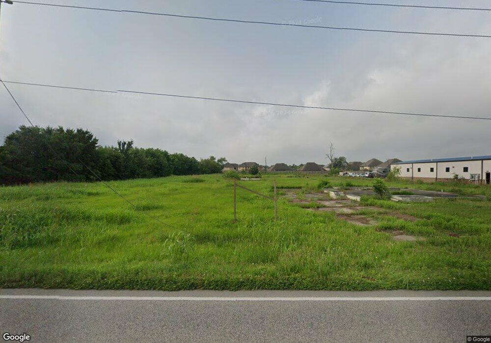
6830 Broadway St Pearland, TX 77581
Estimated Value: $668,000
--
Bed
2
Baths
4,232
Sq Ft
$158/Sq Ft
Est. Value
About This Home
This home is located at 6830 Broadway St, Pearland, TX 77581 and is currently estimated at $668,000, approximately $157 per square foot. 6830 Broadway St is a home located in Brazoria County with nearby schools including H.C. Carleston Elementary School, Sam Jamison Middle School, and Pearland Junior High School South.
Ownership History
Date
Name
Owned For
Owner Type
Purchase Details
Closed on
Jan 16, 2025
Sold by
Rodriguez Esteban V and Rodriguez Ana E
Bought by
State Of Texas Department Of Transportation
Current Estimated Value
Purchase Details
Closed on
May 3, 2006
Sold by
Mallynn Charles and Mallynn Kathleen
Bought by
Rodriguez Esteban V and Rodriguez Ana E
Home Financials for this Owner
Home Financials are based on the most recent Mortgage that was taken out on this home.
Original Mortgage
$409,347
Interest Rate
6.36%
Mortgage Type
Seller Take Back
Create a Home Valuation Report for This Property
The Home Valuation Report is an in-depth analysis detailing your home's value as well as a comparison with similar homes in the area
Home Values in the Area
Average Home Value in this Area
Purchase History
| Date | Buyer | Sale Price | Title Company |
|---|---|---|---|
| State Of Texas Department Of Transportation | -- | None Listed On Document | |
| Rodriguez Esteban V | -- | Commonwealth Title |
Source: Public Records
Mortgage History
| Date | Status | Borrower | Loan Amount |
|---|---|---|---|
| Previous Owner | Rodriguez Esteban V | $409,347 |
Source: Public Records
Tax History Compared to Growth
Tax History
| Year | Tax Paid | Tax Assessment Tax Assessment Total Assessment is a certain percentage of the fair market value that is determined by local assessors to be the total taxable value of land and additions on the property. | Land | Improvement |
|---|---|---|---|---|
| 2025 | $5,774 | $301,700 | $301,700 | -- |
| 2023 | $5,774 | $264,040 | $261,150 | $2,890 |
| 2022 | $6,352 | $264,040 | $261,150 | $2,890 |
| 2021 | $6,804 | $264,070 | $261,180 | $2,890 |
| 2020 | $7,125 | $264,070 | $261,180 | $2,890 |
| 2019 | $7,142 | $264,650 | $261,180 | $3,470 |
| 2018 | $7,696 | $286,430 | $282,960 | $3,470 |
| 2017 | $7,734 | $286,430 | $282,960 | $3,470 |
| 2016 | $9,584 | $354,940 | $352,050 | $2,890 |
| 2015 | $9,837 | $353,550 | $352,050 | $1,500 |
| 2014 | $9,837 | $353,550 | $352,050 | $1,500 |
Source: Public Records
Map
Nearby Homes
- 6816 Broadway St
- 2802 Afton Dr
- 2811 Afton Dr
- 1 Farm To Market 1128
- 2453 Roy Rd Unit 105
- 0 W Broadway St
- 9.6 AC Fite Rd
- 7333 Fite Rd
- 3506 Windmill Palm Dr
- 6806 Adella Ct
- 2236 Garden Rd Cr 109
- 6204 Raintree Dr
- 3114 Autumn Ct
- 6108 Jordan Dr
- 3304 Autumn Forest Dr
- 2526 Oak Rd
- 2534 Oak Rd
- 3149 Harkey Rd
- 0 Ochoa Rd
- 3237 Harkey Rd