6835 Oakwood Trace Ct Houston, TX 77040
North Houston NeighborhoodEstimated Value: $294,113 - $320,000
3
Beds
3
Baths
2,579
Sq Ft
$119/Sq Ft
Est. Value
About This Home
This home is located at 6835 Oakwood Trace Ct, Houston, TX 77040 and is currently estimated at $306,778, approximately $118 per square foot. 6835 Oakwood Trace Ct is a home located in Harris County with nearby schools including Post Elementary School, Dean Middle School, and Jersey Village High School.
Ownership History
Date
Name
Owned For
Owner Type
Purchase Details
Closed on
Sep 13, 2002
Sold by
Krasnov Igor and Krasnov Marcella
Bought by
Angelos Margaret E
Current Estimated Value
Home Financials for this Owner
Home Financials are based on the most recent Mortgage that was taken out on this home.
Original Mortgage
$132,400
Outstanding Balance
$55,187
Interest Rate
6.21%
Estimated Equity
$251,591
Create a Home Valuation Report for This Property
The Home Valuation Report is an in-depth analysis detailing your home's value as well as a comparison with similar homes in the area
Home Values in the Area
Average Home Value in this Area
Purchase History
| Date | Buyer | Sale Price | Title Company |
|---|---|---|---|
| Angelos Margaret E | -- | Stewart Title Company |
Source: Public Records
Mortgage History
| Date | Status | Borrower | Loan Amount |
|---|---|---|---|
| Open | Angelos Margaret E | $132,400 |
Source: Public Records
Tax History Compared to Growth
Tax History
| Year | Tax Paid | Tax Assessment Tax Assessment Total Assessment is a certain percentage of the fair market value that is determined by local assessors to be the total taxable value of land and additions on the property. | Land | Improvement |
|---|---|---|---|---|
| 2025 | $109 | $287,573 | $56,616 | $230,957 |
| 2024 | $109 | $304,850 | $51,469 | $253,381 |
| 2023 | $109 | $289,672 | $51,469 | $238,203 |
| 2022 | $5,059 | $297,400 | $42,950 | $254,450 |
| 2021 | $4,837 | $231,347 | $42,950 | $188,397 |
| 2020 | $5,192 | $241,000 | $30,704 | $210,296 |
| 2019 | $5,667 | $257,000 | $30,704 | $226,296 |
| 2018 | $1,263 | $230,429 | $30,704 | $199,725 |
| 2017 | $4,846 | $236,819 | $30,704 | $206,115 |
| 2016 | $4,405 | $197,000 | $20,410 | $176,590 |
| 2015 | $1,514 | $199,400 | $20,410 | $178,990 |
| 2014 | $1,514 | $175,842 | $15,796 | $160,046 |
Source: Public Records
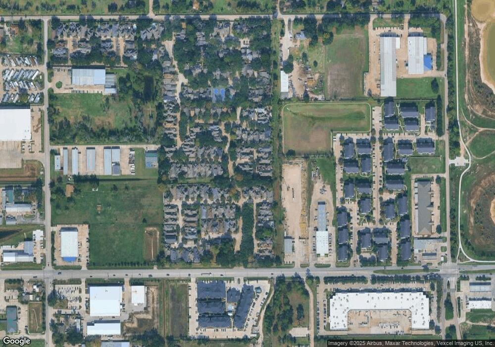
Map
Nearby Homes
- 6819 Oakwood Grove
- 8020 Oakwood Forest Dr
- 8007 E Oakwood Ct
- 9214 Woodland Oaks Dr
- 9207 Loren Ln
- 7718 Breezeway St
- 8402 Bondale St
- 7259 Shady Arbor Ln
- 7318 Shady Grove Ln
- 7218 Stonegate Dr
- 7311 Woodoak Dr
- 9331 Deanwood St
- 8615 Black Tern Ln
- 6406 E Linpar Ct
- 6442 Wilshire Lakes
- 7414 Hollister Spring
- 7731 Deadwood Dr
- 9350 Guywood St
- 7605 Fairbanks North Houston Rd
- 7410 Wood Bluff Blvd
- 6839 Oakwood Trace Ct
- 7918 Oakwood Hollow St
- 6847 Oakwood Trace Ct
- 7914 Oakwood Hollow St
- 6838 Oakwood Trace Ct
- 7910 Oakwood Hollow St
- 6842 Oakwood Trace Ct
- 8010 Oakwood Trace
- 6851 Oakwood Trace Ct
- 7906 Oakwood Hollow St
- 8015 Oakwood Trace
- 6846 Oakwood Trace Ct
- 8006 Oakwood Hollow St
- 6850 Oakwood Trace Ct
- 8010 Oakwood Hollow St
- 8019 Oakwood Trace
- 7902 Oakwood Hollow St
- 8019 Oakwood Trace
- 8014 Oakwood Trace
- 8009 Oakwood Bend Dr