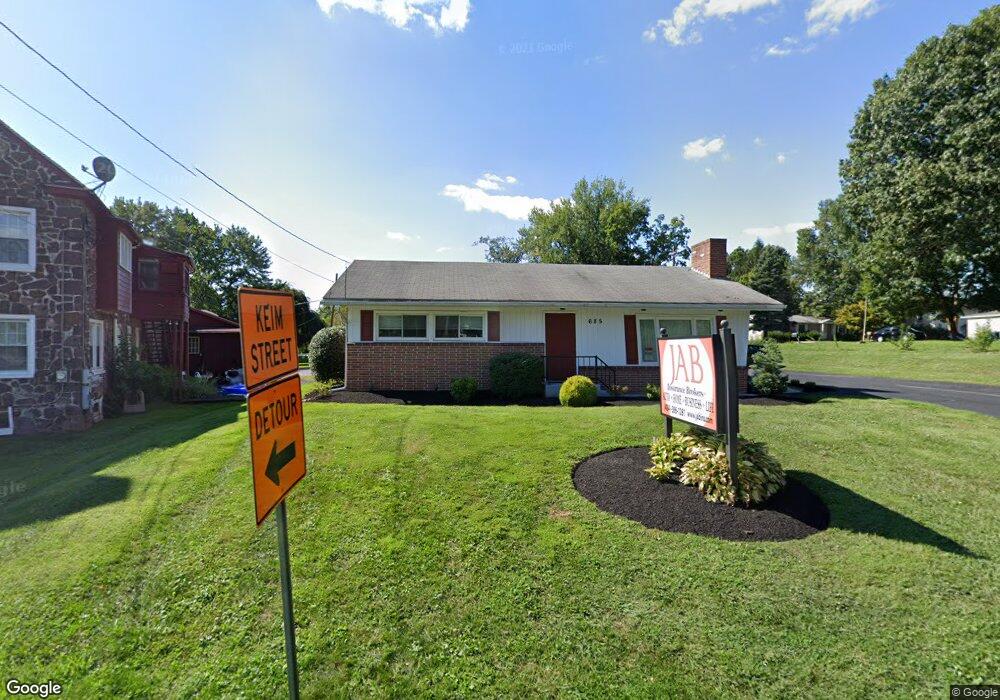
685 S Hanover St Pottstown, PA 19465
North Coventry NeighborhoodEstimated Value: $293,615
--
Bed
--
Bath
2,240
Sq Ft
$131/Sq Ft
Est. Value
About This Home
This home is located at 685 S Hanover St, Pottstown, PA 19465 and is currently estimated at $293,615, approximately $131 per square foot. 685 S Hanover St is a home located in Chester County with nearby schools including North Coventry Elementary School, Owen J Roberts Middle School, and Owen J Roberts High School.
Ownership History
Date
Name
Owned For
Owner Type
Purchase Details
Closed on
Jun 15, 2018
Sold by
Bigham John A and Bigham Susan H
Bought by
Bigham John A and Bigham Shana R
Current Estimated Value
Home Financials for this Owner
Home Financials are based on the most recent Mortgage that was taken out on this home.
Original Mortgage
$138,000
Outstanding Balance
$119,347
Interest Rate
4.5%
Mortgage Type
Future Advance Clause Open End Mortgage
Estimated Equity
$174,268
Purchase Details
Closed on
Aug 28, 2013
Sold by
Tosco Francesco and Tosco Maria
Bought by
Bigham John A and Bigham Susan H
Home Financials for this Owner
Home Financials are based on the most recent Mortgage that was taken out on this home.
Original Mortgage
$150,000
Interest Rate
4.4%
Mortgage Type
Commercial
Purchase Details
Closed on
Feb 24, 2004
Sold by
Body Howard E and Body Ralph Borneman
Bought by
Tosco Francesco and Tosco Maria
Create a Home Valuation Report for This Property
The Home Valuation Report is an in-depth analysis detailing your home's value as well as a comparison with similar homes in the area
Home Values in the Area
Average Home Value in this Area
Purchase History
| Date | Buyer | Sale Price | Title Company |
|---|---|---|---|
| Bigham John A | $199,000 | Penn Title Company | |
| Bigham John A | $187,500 | Penn Title Company | |
| Tosco Francesco | $180,000 | First American Title Ins Co |
Source: Public Records
Mortgage History
| Date | Status | Borrower | Loan Amount |
|---|---|---|---|
| Open | Bigham John A | $138,000 | |
| Previous Owner | Bigham John A | $150,000 |
Source: Public Records
Tax History Compared to Growth
Tax History
| Year | Tax Paid | Tax Assessment Tax Assessment Total Assessment is a certain percentage of the fair market value that is determined by local assessors to be the total taxable value of land and additions on the property. | Land | Improvement |
|---|---|---|---|---|
| 2025 | $5,181 | $122,330 | $48,460 | $73,870 |
| 2024 | $5,181 | $122,330 | $48,460 | $73,870 |
| 2023 | $5,109 | $122,330 | $48,460 | $73,870 |
| 2022 | $5,004 | $122,330 | $48,460 | $73,870 |
| 2021 | $4,916 | $122,330 | $48,460 | $73,870 |
| 2020 | $4,792 | $122,330 | $48,460 | $73,870 |
| 2019 | $4,704 | $122,330 | $48,460 | $73,870 |
| 2018 | $4,578 | $122,330 | $48,460 | $73,870 |
| 2017 | $4,459 | $122,330 | $48,460 | $73,870 |
| 2016 | $3,766 | $122,330 | $48,460 | $73,870 |
| 2015 | $3,766 | $122,330 | $48,460 | $73,870 |
| 2014 | $3,766 | $122,330 | $48,460 | $73,870 |
Source: Public Records
Map
Nearby Homes
- 84 W Schuylkill Rd
- 435 Kline Ave
- 468 Kline Ave
- 383 W Cedarville Rd
- 277 Industrial Hwy
- 1132 Wendler Cir
- 738 Union Ave
- 425 Laurel St
- 410 Cherry St
- 426 Cherry St
- 325 South St
- 780 E Cedarville Rd
- 110 S Franklin St
- 797 Union Ave
- 428 South St
- 363 New St
- 48 Chestnut St
- 1060 S Keim St
- 0000 Chestnut St
- 422 King St
- 11 W Schuylkill Rd
- 651 S Hanover St
- 0 Route 724 Unit 5522647
- 0 Route 724 Unit 5711268
- 0 Route 724 Unit 1009062780
- 0 Route 724 Unit 1008757042
- 647 Coyne Ave
- 57 W Schuylkill Rd Unit 3
- 57 W Schuylkill Rd
- 641 S Hanover St
- 645 Coyne Ave
- 67 W Schuylkill Rd
- 629 S Hanover St
- 621 Coyne Alley Unit 1ST FLOOR
- 60 W Schuylkill Rd
- 621 Coyne Ave
- 79 W Schuylkill Rd
- 58 W Schuylkill Rd
- 621 S Hanover St
- 128 E Schuylkill Rd