686 Airport Rd Martinsburg, WV 25405
Estimated Value: $278,000 - $301,000
3
Beds
2
Baths
1,394
Sq Ft
$208/Sq Ft
Est. Value
About This Home
This home is located at 686 Airport Rd, Martinsburg, WV 25405 and is currently estimated at $290,087, approximately $208 per square foot. 686 Airport Rd is a home located in Berkeley County with nearby schools including Valley View Elementary School, Mountain Ridge Intermediate School, and Mountain Ridge Middle School.
Ownership History
Date
Name
Owned For
Owner Type
Purchase Details
Closed on
Dec 23, 2020
Sold by
Kemp Charles T and Patterson Susan B
Bought by
Kemp Charles T
Current Estimated Value
Home Financials for this Owner
Home Financials are based on the most recent Mortgage that was taken out on this home.
Original Mortgage
$67,000
Interest Rate
2.7%
Mortgage Type
New Conventional
Create a Home Valuation Report for This Property
The Home Valuation Report is an in-depth analysis detailing your home's value as well as a comparison with similar homes in the area
Home Values in the Area
Average Home Value in this Area
Purchase History
| Date | Buyer | Sale Price | Title Company |
|---|---|---|---|
| Kemp Charles T | -- | None Available |
Source: Public Records
Mortgage History
| Date | Status | Borrower | Loan Amount |
|---|---|---|---|
| Closed | Kemp Charles T | $67,000 |
Source: Public Records
Tax History Compared to Growth
Tax History
| Year | Tax Paid | Tax Assessment Tax Assessment Total Assessment is a certain percentage of the fair market value that is determined by local assessors to be the total taxable value of land and additions on the property. | Land | Improvement |
|---|---|---|---|---|
| 2024 | $1,009 | $102,180 | $28,920 | $73,260 |
| 2023 | $1,231 | $97,380 | $24,120 | $73,260 |
| 2022 | $1,065 | $91,500 | $24,120 | $67,380 |
| 2021 | $992 | $84,600 | $22,020 | $62,580 |
| 2020 | $952 | $81,060 | $22,020 | $59,040 |
| 2019 | $411 | $86,040 | $22,020 | $64,020 |
| 2018 | $990 | $83,640 | $21,000 | $62,640 |
| 2017 | $973 | $81,660 | $21,000 | $60,660 |
| 2016 | $965 | $80,220 | $21,000 | $59,220 |
| 2015 | $974 | $78,900 | $21,000 | $57,900 |
| 2014 | $975 | $78,720 | $21,000 | $57,720 |
Source: Public Records
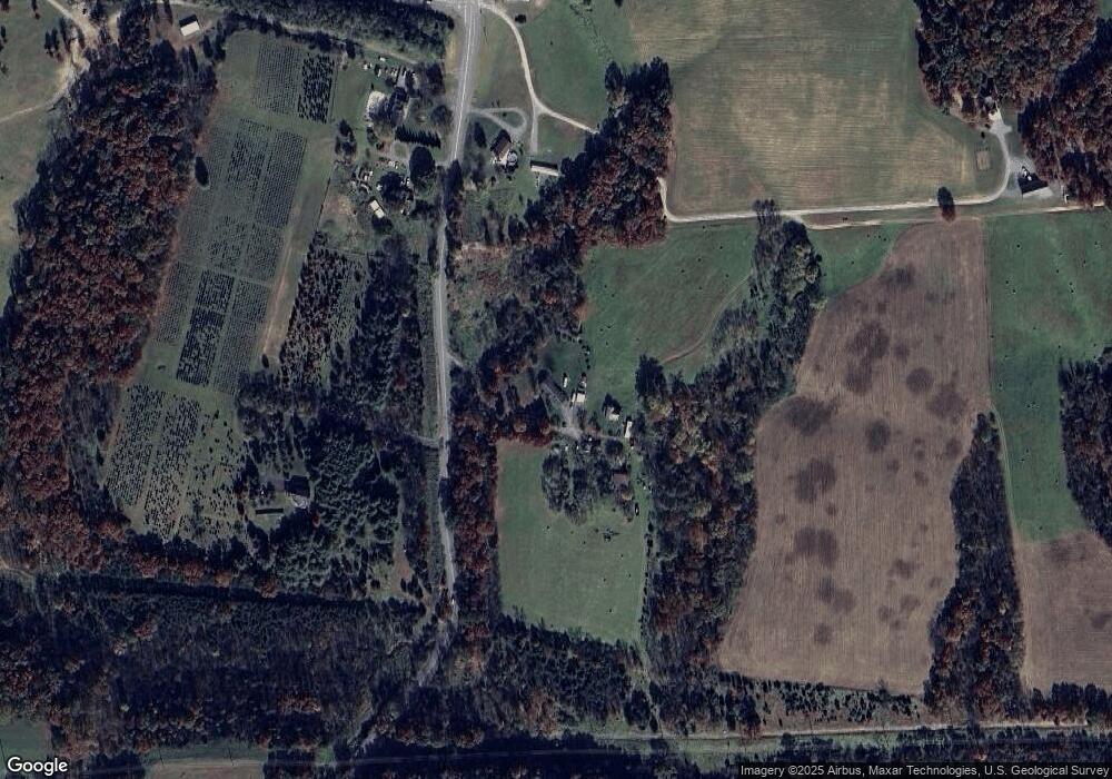
Map
Nearby Homes
- 984 Airport Rd
- 223 Stotelmyer Ln
- 415 Near Bethels Way
- 220 Stotelmyer Ln
- 46 Wattley Ct
- Lot 51 Wattley Ct
- Lot 49 Wattley Ct
- 48 Wattley Ct
- 132 Sanibel Way
- 84 Sanibel Way
- 17 Briarcrest Cir
- 1006 Aztec Dr
- 63 Briarcrest Cir
- 32 Bonita Pine Trail
- Lot B2 Nadenbousch Ln
- 97 Lair Way
- 1730 Nadenbousch Ln
- 31 Crestview Dr
- Lot 1 Station Square
- 25 Empress Cir
- 802 Airport Rd
- 775 Airport Rd
- 811 Airport Rd
- 922 Airport Rd
- 102 Airport Rd
- 929 Airport Rd
- 940 Airport Rd
- 52 Patriot Ct
- 55 Patriot Ct
- 12 Patriot Ct
- 165 Independence Ln
- 203 Independence Ln
- 225 Independence Ln
- 51 Patriot Ct
- 251 Independence Ln
- 275 Independence Ln
- 200 Independence Ln
- 113 Independence Ln
- 114 Independence Ln
- 1016 Airport Rd