6880 W Hill Rd Decatur, IL 62522
Estimated Value: $314,000 - $367,000
--
Bed
--
Bath
994
Sq Ft
$345/Sq Ft
Est. Value
About This Home
This home is located at 6880 W Hill Rd, Decatur, IL 62522 and is currently estimated at $343,221, approximately $345 per square foot. 6880 W Hill Rd is a home located in Macon County.
Ownership History
Date
Name
Owned For
Owner Type
Purchase Details
Closed on
Nov 5, 2024
Sold by
Johnson Roger K
Bought by
Campbell Wesley Todd and Campbell Donna
Current Estimated Value
Home Financials for this Owner
Home Financials are based on the most recent Mortgage that was taken out on this home.
Original Mortgage
$268,000
Outstanding Balance
$265,312
Interest Rate
6.08%
Mortgage Type
New Conventional
Estimated Equity
$77,909
Purchase Details
Closed on
Nov 14, 2022
Sold by
James William Dadiv
Bought by
Johnson Roger K
Purchase Details
Closed on
Mar 1, 2021
Sold by
James William D
Bought by
James William D
Purchase Details
Closed on
Nov 1, 1995
Create a Home Valuation Report for This Property
The Home Valuation Report is an in-depth analysis detailing your home's value as well as a comparison with similar homes in the area
Home Values in the Area
Average Home Value in this Area
Purchase History
| Date | Buyer | Sale Price | Title Company |
|---|---|---|---|
| Campbell Wesley Todd | $335,000 | None Listed On Document | |
| Campbell Wesley Todd | $335,000 | None Listed On Document | |
| Johnson Roger K | $205,000 | -- | |
| Johnson Roger K | $205,000 | None Listed On Document | |
| James William D | -- | None Available | |
| -- | $48,000 | -- |
Source: Public Records
Mortgage History
| Date | Status | Borrower | Loan Amount |
|---|---|---|---|
| Open | Campbell Wesley Todd | $268,000 | |
| Closed | Campbell Wesley Todd | $268,000 |
Source: Public Records
Tax History Compared to Growth
Tax History
| Year | Tax Paid | Tax Assessment Tax Assessment Total Assessment is a certain percentage of the fair market value that is determined by local assessors to be the total taxable value of land and additions on the property. | Land | Improvement |
|---|---|---|---|---|
| 2024 | $4,049 | $65,680 | $9,112 | $56,568 |
| 2023 | $3,116 | $51,449 | $8,810 | $42,639 |
| 2022 | $2,879 | $47,578 | $8,147 | $39,431 |
| 2021 | $2,757 | $45,193 | $7,739 | $37,454 |
| 2020 | $2,890 | $46,509 | $7,293 | $39,216 |
| 2019 | $2,890 | $46,509 | $7,293 | $39,216 |
| 2018 | $2,795 | $45,406 | $7,120 | $38,286 |
| 2017 | $2,849 | $45,597 | $7,150 | $38,447 |
| 2016 | $3,292 | $45,542 | $7,141 | $38,401 |
| 2015 | $3,136 | $44,216 | $6,933 | $37,283 |
| 2014 | $3,016 | $43,778 | $6,864 | $36,914 |
| 2013 | $3,258 | $43,778 | $6,864 | $36,914 |
Source: Public Records
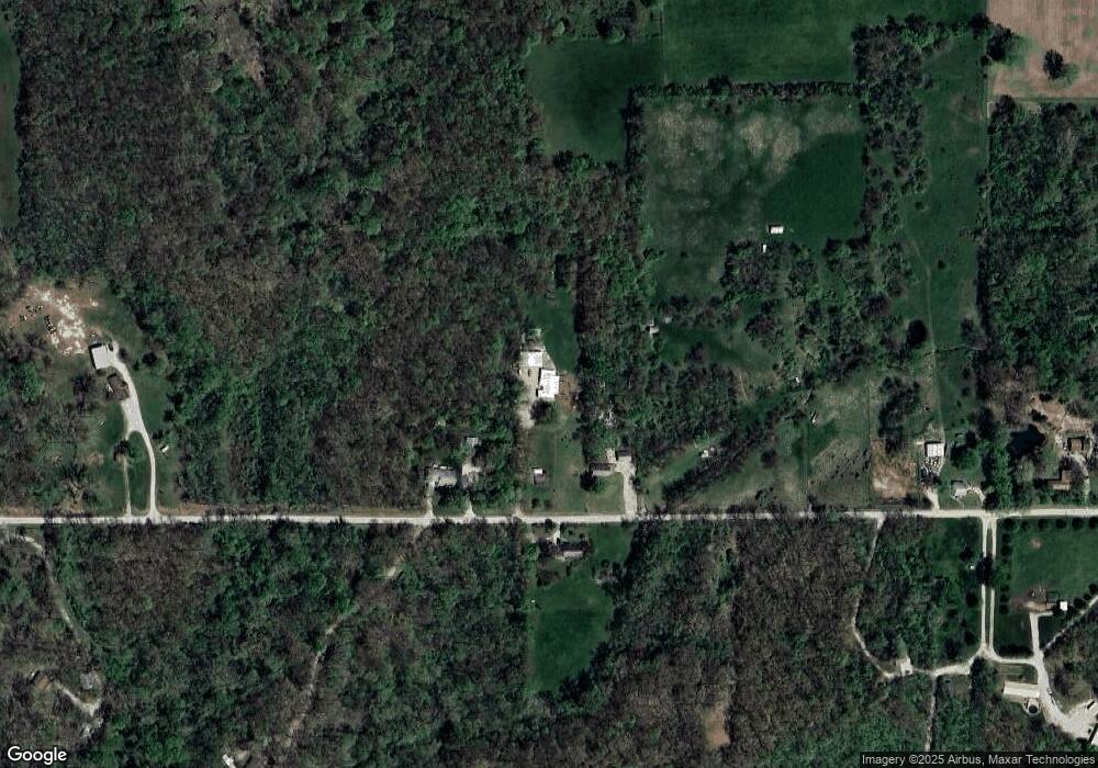
Map
Nearby Homes
- 0 W Wood St
- 5180 W Cantrell St
- 7450 W William St
- 0 W Harristown Blvd Unit 6251050
- 275 N Camp St
- 3247 Nevada Rd
- 3335 Nevada Rd
- 445 S Wyckles Rd
- 468 N Megan Dr
- 170 S Hillcrest Blvd
- 3889 W Division St
- 480 N Hillcrest Blvd
- 635 N Virginia Ave
- 1720 N Sunnyside Rd
- 1650 N Sunnyside Rd
- 2529 W Alice Ln
- 1135 N Moffet Ln
- 3525 W Center St
- 2207 Forest Crest Dr
- 345 S Westdale Ave
- 6840 W Hill Rd
- 6865 W Hill Rd
- 6888 W Hill Rd
- 6920 W Hill Rd
- 6535 W Hill Rd
- 6550 W Hill Rd
- 7136 W Hill Rd
- 6961 W Hill Rd
- 6440 W Hill Rd
- 6445 W Hill Rd
- 7179 W Hill Rd
- 6380 W Hill Rd
- 6363 W Hill Rd
- 7121 W Cantrell St
- 7280 W Hill Rd
- 6305 W Hill Rd
- 7135 W Cantrell St
- 6837 W Cantrell St
- 6310 W Hill Rd
- 7091 W Cantrell St