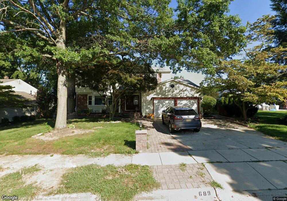
689 Lincoln Dr Mount Laurel, NJ 08054
Estimated Value: $539,336 - $709,000
--
Bed
--
Bath
2,668
Sq Ft
$245/Sq Ft
Est. Value
About This Home
This home is located at 689 Lincoln Dr, Mount Laurel, NJ 08054 and is currently estimated at $653,334, approximately $244 per square foot. 689 Lincoln Dr is a home located in Burlington County with nearby schools including Hillside Elementary School, T.E. Harrington Middle School, and Mount Laurel Hartford School.
Ownership History
Date
Name
Owned For
Owner Type
Purchase Details
Closed on
Aug 8, 2005
Sold by
Aiello Angelo
Bought by
Aiello Angelo and Aiello Angelina M
Current Estimated Value
Purchase Details
Closed on
Mar 17, 1998
Sold by
Aiello Angelo
Bought by
Aiello Angelo and Aiello Angelina
Home Financials for this Owner
Home Financials are based on the most recent Mortgage that was taken out on this home.
Original Mortgage
$135,000
Interest Rate
6.52%
Create a Home Valuation Report for This Property
The Home Valuation Report is an in-depth analysis detailing your home's value as well as a comparison with similar homes in the area
Home Values in the Area
Average Home Value in this Area
Purchase History
| Date | Buyer | Sale Price | Title Company |
|---|---|---|---|
| Aiello Angelo | -- | -- | |
| Aiello Angelo | -- | -- |
Source: Public Records
Mortgage History
| Date | Status | Borrower | Loan Amount |
|---|---|---|---|
| Closed | Aiello Angelo | $135,000 |
Source: Public Records
Tax History Compared to Growth
Tax History
| Year | Tax Paid | Tax Assessment Tax Assessment Total Assessment is a certain percentage of the fair market value that is determined by local assessors to be the total taxable value of land and additions on the property. | Land | Improvement |
|---|---|---|---|---|
| 2025 | $9,875 | $312,800 | $91,800 | $221,000 |
| 2024 | $9,503 | $312,800 | $91,800 | $221,000 |
| 2023 | $9,503 | $312,800 | $91,800 | $221,000 |
| 2022 | $9,472 | $312,800 | $91,800 | $221,000 |
| 2021 | $9,293 | $312,800 | $91,800 | $221,000 |
| 2020 | $9,112 | $312,800 | $91,800 | $221,000 |
| 2019 | $9,018 | $312,800 | $91,800 | $221,000 |
| 2018 | $8,949 | $312,800 | $91,800 | $221,000 |
| 2017 | $8,718 | $312,800 | $91,800 | $221,000 |
| 2016 | $8,586 | $312,800 | $91,800 | $221,000 |
| 2015 | $8,486 | $312,800 | $91,800 | $221,000 |
| 2014 | $8,402 | $312,800 | $91,800 | $221,000 |
Source: Public Records
Map
Nearby Homes
- 23 Emory Ln
- 12 Taconia Ct
- 8 Raven Ct
- 1 Adner Dr
- 13 Marcy Ct
- 10 Gretna Ct
- 3 Abington Rd
- 266 Saint David Dr
- 23 E Oleander Dr
- 11 E Berwin Way
- 102 Union Mill Terrace
- 317 Saint David Dr
- 3 Village Ct
- 223 Saint David Dr
- 32 Hearthstone Ln
- 420 Elderberry Ct
- 422 Elderberry Ct
- 1201A Ginger Ct
- 70B Sumac Ct Unit 70B
- 31 Quince Ct
- 691 Lincoln Dr
- 702 Cornwallis Dr
- 700 Lincoln Dr
- 702 Lincoln Dr
- 704 Cornwallis Dr
- 698 Lincoln Dr
- 709 Stuyvesant Place
- 704 Lincoln Dr
- 707 Stuyvesant Place
- 706 Cornwallis Dr
- 695 Lincoln Dr
- 698 Cornwallis Dr
- 686 Franklin Place
- 685 Cornwallis Dr
- 708 Cornwallis Dr
- 711 Stuyvesant Place
- 706 Lincoln Dr
- 683 Cornwallis Dr
- 687 Cornwallis Dr
- 705 Stuyvesant Place