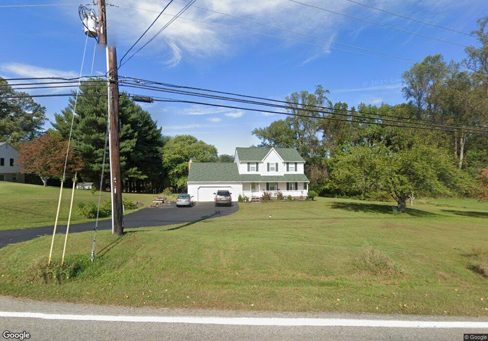
6890 Briscoe Turn Rd Owings, MD 20736
Estimated Value: $469,000 - $645,000
--
Bed
2
Baths
2,014
Sq Ft
$261/Sq Ft
Est. Value
About This Home
This home is located at 6890 Briscoe Turn Rd, Owings, MD 20736 and is currently estimated at $524,840, approximately $260 per square foot. 6890 Briscoe Turn Rd is a home located in Calvert County with nearby schools including Sunderland Elementary School, Northern Middle School, and Northern High School.
Ownership History
Date
Name
Owned For
Owner Type
Purchase Details
Closed on
Sep 28, 2009
Sold by
O'Neal John W and O'Neal Kathleen L
Bought by
O'Neal John W and O'Neal Kathleen L
Current Estimated Value
Purchase Details
Closed on
Mar 21, 1986
Sold by
Wells David E and Wells Ella R
Bought by
O'Neil John W and O'Neil Kathleen L
Home Financials for this Owner
Home Financials are based on the most recent Mortgage that was taken out on this home.
Original Mortgage
$105,000
Interest Rate
10.01%
Create a Home Valuation Report for This Property
The Home Valuation Report is an in-depth analysis detailing your home's value as well as a comparison with similar homes in the area
Home Values in the Area
Average Home Value in this Area
Purchase History
| Date | Buyer | Sale Price | Title Company |
|---|---|---|---|
| O'Neal John W | -- | -- | |
| O'Neil John W | $137,500 | -- |
Source: Public Records
Mortgage History
| Date | Status | Borrower | Loan Amount |
|---|---|---|---|
| Previous Owner | O'Neil John W | $105,000 |
Source: Public Records
Tax History Compared to Growth
Tax History
| Year | Tax Paid | Tax Assessment Tax Assessment Total Assessment is a certain percentage of the fair market value that is determined by local assessors to be the total taxable value of land and additions on the property. | Land | Improvement |
|---|---|---|---|---|
| 2025 | $4,503 | $424,500 | $160,300 | $264,200 |
| 2024 | $4,503 | $397,200 | $0 | $0 |
| 2023 | $3,843 | $369,900 | $0 | $0 |
| 2022 | $3,771 | $342,600 | $160,300 | $182,300 |
| 2021 | $3,716 | $339,467 | $0 | $0 |
| 2020 | $3,716 | $336,333 | $0 | $0 |
| 2019 | $3,697 | $333,200 | $160,300 | $172,900 |
| 2018 | $3,659 | $330,833 | $0 | $0 |
| 2017 | $3,681 | $328,467 | $0 | $0 |
| 2016 | -- | $326,100 | $0 | $0 |
| 2015 | $3,654 | $326,100 | $0 | $0 |
| 2014 | $3,654 | $326,100 | $0 | $0 |
Source: Public Records
Map
Nearby Homes
- 7120 Bluegrass Way
- 1965 Lowery Rd
- 6440 Briarwood Dr
- 2550 Redbud Ln
- 2520 Lower Marlboro Rd
- 1030 Stephen Reid Dr
- 3446 Chaneyville Rd
- 7425 Danbridge Ln
- 7818 Lake Shore Dr
- 1021 Concord Ct
- 331 C Jones Rd
- 6030 Clairemont Dr
- 360 Hoile Ln
- 5650 Collington Ct
- 215 Hoile Ln
- 290 Skinners Turn Rd
- 125 Prospect Dr
- 270 Skinners Turn Rd
- 159 Boothhaven Ln
- 8839 Stratford Ct
- 6880 Briscoe Turn Rd
- 6821 Briscoe Turn Rd
- 6850 Briscoe Turn Rd
- 6915 Briscoe Turn Rd
- 6865 Briscoe Turn Rd
- 6981 Briscoe Turn Rd
- 6911 Briscoe Turn Rd
- 6845 Briscoe Turn Rd
- 6991 Briscoe Turn Rd
- 6820 Briscoe Turn Rd
- 6690 Briscoe Turn Rd
- 1917 Mikes Way
- 1950 Watson Rd
- 1890 Shepherd Ln
- 6905 Briscoe Turn Rd
- 1940 Watson Rd
- 1920 Watson Rd
- 1880 Shepherd Ln
- 1952 Mikes Way
- 1951 Watson Rd