69 Bruning Rd New Hartford, CT 06057
Estimated Value: $839,197 - $1,186,000
5
Beds
7
Baths
2,749
Sq Ft
$355/Sq Ft
Est. Value
About This Home
This home is located at 69 Bruning Rd, New Hartford, CT 06057 and is currently estimated at $975,732, approximately $354 per square foot. 69 Bruning Rd is a home located in Litchfield County with nearby schools including Ann Antolini School, Northwestern Regional Middle School, and Northwestern Regional High School.
Ownership History
Date
Name
Owned For
Owner Type
Purchase Details
Closed on
Dec 29, 2016
Sold by
Developmen New England
Bought by
Ciola John
Current Estimated Value
Home Financials for this Owner
Home Financials are based on the most recent Mortgage that was taken out on this home.
Original Mortgage
$417,000
Outstanding Balance
$341,866
Interest Rate
3.94%
Mortgage Type
Purchase Money Mortgage
Estimated Equity
$633,866
Purchase Details
Closed on
Jun 14, 2006
Sold by
Halper Ann Est
Bought by
New England Dev Llc
Home Financials for this Owner
Home Financials are based on the most recent Mortgage that was taken out on this home.
Original Mortgage
$420,000
Interest Rate
6.62%
Mortgage Type
Purchase Money Mortgage
Create a Home Valuation Report for This Property
The Home Valuation Report is an in-depth analysis detailing your home's value as well as a comparison with similar homes in the area
Home Values in the Area
Average Home Value in this Area
Purchase History
| Date | Buyer | Sale Price | Title Company |
|---|---|---|---|
| Ciola John | $650,000 | -- | |
| Developmen New England | $600,000 | -- | |
| New England Dev Llc | $600,000 | -- |
Source: Public Records
Mortgage History
| Date | Status | Borrower | Loan Amount |
|---|---|---|---|
| Open | Ciola John | $417,000 | |
| Previous Owner | New England Dev Llc | $770,000 | |
| Previous Owner | New England Dev Llc | $420,000 |
Source: Public Records
Tax History Compared to Growth
Tax History
| Year | Tax Paid | Tax Assessment Tax Assessment Total Assessment is a certain percentage of the fair market value that is determined by local assessors to be the total taxable value of land and additions on the property. | Land | Improvement |
|---|---|---|---|---|
| 2025 | $12,736 | $460,285 | $147,665 | $312,620 |
| 2024 | $12,124 | $460,285 | $147,665 | $312,620 |
| 2023 | $11,823 | $368,655 | $147,245 | $221,410 |
| 2022 | $11,635 | $368,655 | $147,245 | $221,410 |
| 2021 | $11,679 | $368,655 | $147,245 | $221,410 |
| 2020 | $11,513 | $368,655 | $147,245 | $221,410 |
| 2019 | $11,373 | $368,655 | $147,245 | $221,410 |
| 2018 | $11,770 | $375,795 | $146,825 | $228,970 |
| 2017 | $16,096 | $530,880 | $309,260 | $221,620 |
| 2016 | $15,990 | $530,880 | $309,260 | $221,620 |
| 2015 | $8,841 | $293,325 | $74,435 | $218,890 |
| 2014 | $8,295 | $293,325 | $74,435 | $218,890 |
Source: Public Records
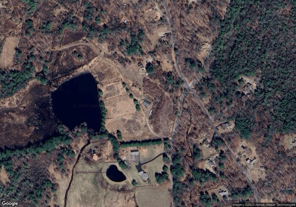
Map
Nearby Homes
- 595 Town Hill Rd
- 555 Town Hill Rd
- 71 Wickett St
- 22B Hoppen Rd
- 22A Hoppen Rd
- 37 E Cotton Hill Rd
- 21 Kellogg Rd
- 85 Stedman Rd
- 6 Windsor Ln
- 57 Henderson Rd
- 408 A Niles Rd
- 19 Vickers Rd
- 16 Sabolcik Rd
- 208 South Rd
- 37 Hidden Hill Rd
- 290 Gillette Rd
- 35 Hemlock Dr
- 302 Gillette Rd
- 37 Maillet Ln
- 230 White Oak Way
- 75 Bruning Rd
- 47 Bruning Rd
- 291 Maple Hollow Rd
- 465 Stub Hollow Rd
- 95 Bruning Rd
- 31 Bruning Rd
- 40 Bruning Rd
- 97 Bruning Rd
- 50 Bruning Rd
- 103 Bruning Rd
- 14 Gray Rd
- 455 Stub Hollow Rd
- 98 Bruning Rd
- 22 Bruning Rd
- 441 Stub Hollow Rd
- 108 Bruning Rd
- 745 Town Hill Rd
- 121 Bruning Rd
- 754 Town Hill Rd
- 116 Bruning Rd