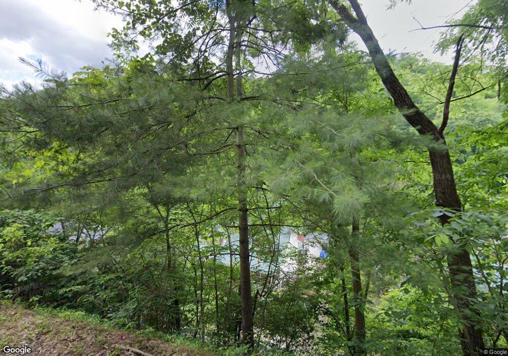
69 Chessie Ln Prestonsburg, KY 41653
Estimated Value: $126,000 - $206,000
4
Beds
2
Baths
1,920
Sq Ft
$87/Sq Ft
Est. Value
About This Home
This home is located at 69 Chessie Ln, Prestonsburg, KY 41653 and is currently estimated at $167,892, approximately $87 per square foot. 69 Chessie Ln is a home located in Floyd County with nearby schools including Prestonsburg Elementary School, Adams Middle School, and Prestonsburg High School.
Ownership History
Date
Name
Owned For
Owner Type
Purchase Details
Closed on
Apr 21, 2008
Sold by
Andrew David M and Andrew Andrea S
Bought by
Little Carol
Current Estimated Value
Home Financials for this Owner
Home Financials are based on the most recent Mortgage that was taken out on this home.
Original Mortgage
$87,000
Outstanding Balance
$54,736
Interest Rate
5.84%
Mortgage Type
New Conventional
Estimated Equity
$113,156
Create a Home Valuation Report for This Property
The Home Valuation Report is an in-depth analysis detailing your home's value as well as a comparison with similar homes in the area
Home Values in the Area
Average Home Value in this Area
Purchase History
| Date | Buyer | Sale Price | Title Company |
|---|---|---|---|
| Little Carol | $127,000 | None Available |
Source: Public Records
Mortgage History
| Date | Status | Borrower | Loan Amount |
|---|---|---|---|
| Open | Little Carol | $87,000 |
Source: Public Records
Tax History Compared to Growth
Tax History
| Year | Tax Paid | Tax Assessment Tax Assessment Total Assessment is a certain percentage of the fair market value that is determined by local assessors to be the total taxable value of land and additions on the property. | Land | Improvement |
|---|---|---|---|---|
| 2024 | $1,528 | $127,000 | $15,000 | $112,000 |
| 2023 | $1,535 | $127,000 | $0 | $0 |
| 2022 | $1,539 | $127,000 | $0 | $0 |
| 2021 | $1,544 | $127,000 | $0 | $0 |
| 2020 | $1,544 | $127,000 | $0 | $0 |
| 2019 | $1,538 | $127,000 | $0 | $0 |
| 2018 | $1,538 | $127,000 | $0 | $0 |
| 2017 | $1,399 | $127,000 | $0 | $0 |
| 2016 | $1,399 | $127,000 | $0 | $0 |
| 2015 | $1,278 | $127,000 | $0 | $0 |
| 2014 | $1,278 | $127,000 | $0 | $0 |
| 2013 | $1,278 | $127,000 | $0 | $0 |
Source: Public Records
Map
Nearby Homes
- 5528 Kentucky 114
- 5050 Ky Route 114
- 52 Station Branch
- 00 Caney Creek
- 91 Owen St
- 22 W Clark Dr
- 437 Shawn Howell Sub
- 31 Links North Way
- 45 Cedar Estates
- 771 Meade Branch Rd
- 3372 Abbott Creek Rd
- 2850 Abbott Creek Rd
- 59 Irvine Allen Cemetery Rd
- 00 Stumbo Subdivision
- 2402 Kentucky 850
- 1123 Kentucky 114
- 00 Rye Branch (Db 225 Dp 424-433)
- 00 Pruitt St
- 237 Conley Fork Rd
- 0 Alum Lick Fork Rd
- 83 Chessie Ln
- 83 Chessie Ln
- 101 Chessie Ln
- 820 Ruff and Tuff Branch
- 2077 Ruff N Tuff Branch
- 1 Ruff and Tuff Rd
- 998 Ruff and Tuff Branch
- 284 Ruff and Tuff Branch
- 299 Ruff and Tuff Branch
- 299 Ruff and Tuff Branch
- 128 Ruff and Tuff Branch
- 1092 Ruff and Tuff Branch
- 1060 Ruff and Tuff Branch
- 108 Ruff and Tuff Branch
- 108 Ruff and Tuff Branch
- 1159 Ruff and Tuff Branch
- 11727 Kentucky 114
- 1463 Rough Tough Branch
- 1074 Rough & Tough
- 885 Mill Branch
