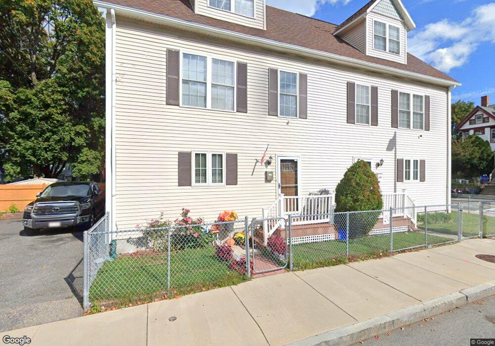
69 Dale St Roxbury, MA 02119
Washington Park NeighborhoodEstimated Value: $622,000 - $704,378
4
Beds
3
Baths
1,700
Sq Ft
$399/Sq Ft
Est. Value
About This Home
This home is located at 69 Dale St, Roxbury, MA 02119 and is currently estimated at $678,345, approximately $399 per square foot. 69 Dale St is a home located in Suffolk County with nearby schools including Bridge Boston Charter School and City on a Hill Charter Public School.
Create a Home Valuation Report for This Property
The Home Valuation Report is an in-depth analysis detailing your home's value as well as a comparison with similar homes in the area
Home Values in the Area
Average Home Value in this Area
Tax History Compared to Growth
Tax History
| Year | Tax Paid | Tax Assessment Tax Assessment Total Assessment is a certain percentage of the fair market value that is determined by local assessors to be the total taxable value of land and additions on the property. | Land | Improvement |
|---|---|---|---|---|
| 2025 | $6,830 | $589,800 | $0 | $589,800 |
| 2024 | $5,526 | $507,000 | $0 | $507,000 |
| 2023 | $5,235 | $487,400 | $0 | $487,400 |
| 2022 | $5,050 | $464,200 | $0 | $464,200 |
| 2021 | $4,856 | $455,100 | $0 | $455,100 |
| 2020 | $4,615 | $437,000 | $0 | $437,000 |
| 2019 | $4,188 | $397,300 | $0 | $397,300 |
| 2018 | $3,784 | $361,100 | $0 | $361,100 |
| 2017 | $3,573 | $337,400 | $0 | $337,400 |
| 2016 | $3,468 | $315,300 | $0 | $315,300 |
| 2015 | $2,854 | $235,700 | $0 | $235,700 |
| 2014 | $2,797 | $222,300 | $0 | $222,300 |
Source: Public Records
Map
Nearby Homes
- 94 Walnut Ave
- 10 Rockland St Unit 2
- 10 Rockland St Unit 1
- 10 Rockland St Unit 4
- 192 Walnut Ave Unit 3
- 16 Mayfair St
- 90 Munroe St
- 9 W Cedar St Unit 1
- 64 Alpine St Unit 104
- 64 Alpine St Unit 304
- 133 Martin Luther King Blvd
- 37 Regent St Unit 2
- 30 Copeland St Unit 1
- 151 Townsend St
- 99 Harrishof St Unit 2
- 99 Harrishof St Unit 3
- 8 Brinton St Unit 2
- 30 Townsend St
- 38 Juniper St
- 21 Alpine St Unit 2nd & 3rd