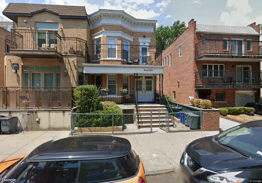
69 Parkville Ave Brooklyn, NY 11230
Kensington NeighborhoodEstimated Value: $1,444,095 - $2,457,000
--
Bed
--
Bath
2,320
Sq Ft
$787/Sq Ft
Est. Value
About This Home
This home is located at 69 Parkville Ave, Brooklyn, NY 11230 and is currently estimated at $1,826,274, approximately $787 per square foot. 69 Parkville Ave is a home located in Kings County with nearby schools including P.S./I.S. 192 Magnet School For Math And Science Inquiry, I.S. 223 The Montauk, and Franklin Delano Roosevelt High School.
Ownership History
Date
Name
Owned For
Owner Type
Purchase Details
Closed on
Mar 31, 1998
Sold by
Siciliano Maria
Bought by
Friedman Shifra and Friedman Ari
Current Estimated Value
Home Financials for this Owner
Home Financials are based on the most recent Mortgage that was taken out on this home.
Original Mortgage
$120,000
Interest Rate
7.12%
Create a Home Valuation Report for This Property
The Home Valuation Report is an in-depth analysis detailing your home's value as well as a comparison with similar homes in the area
Home Values in the Area
Average Home Value in this Area
Purchase History
| Date | Buyer | Sale Price | Title Company |
|---|---|---|---|
| Friedman Shifra | $303,000 | Chicago Title Insurance Co |
Source: Public Records
Mortgage History
| Date | Status | Borrower | Loan Amount |
|---|---|---|---|
| Previous Owner | Friedman Shifra | $120,000 |
Source: Public Records
Tax History Compared to Growth
Tax History
| Year | Tax Paid | Tax Assessment Tax Assessment Total Assessment is a certain percentage of the fair market value that is determined by local assessors to be the total taxable value of land and additions on the property. | Land | Improvement |
|---|---|---|---|---|
| 2025 | $7,663 | $84,600 | $24,240 | $60,360 |
| 2024 | $7,663 | $87,840 | $24,240 | $63,600 |
| 2023 | $7,312 | $92,880 | $24,240 | $68,640 |
| 2022 | $6,837 | $76,020 | $24,240 | $51,780 |
| 2021 | $7,214 | $78,780 | $24,240 | $54,540 |
| 2020 | $5,411 | $70,020 | $24,240 | $45,780 |
| 2019 | $6,602 | $70,020 | $24,240 | $45,780 |
| 2018 | $6,056 | $31,170 | $8,057 | $23,113 |
| 2017 | $5,762 | $29,738 | $11,942 | $17,796 |
| 2016 | $5,635 | $29,738 | $13,637 | $16,101 |
| 2015 | $3,164 | $29,112 | $16,058 | $13,054 |
| 2014 | $3,164 | $27,469 | $15,436 | $12,033 |
Source: Public Records
Map
Nearby Homes
- 312 Foster Ave
- 770 Ocean Pkwy Unit 2D
- 770 Ocean Pkwy Unit 6F
- 770 Ocean Pkwy Unit 6C
- 770 Ocean Pkwy Unit 4K
- 770 Ocean Pkwy Unit 3M
- 800 Ocean Pkwy Unit 5N
- 800 Ocean Pkwy Unit 6E
- 820 Ocean Pkwy Unit 621
- 820 Ocean Pkwy Unit 417
- 414 Elmwood Ave Unit 3F
- 414 Elmwood Ave Unit 4C
- 702 Ocean Pkwy Unit 1B
- 842 Ocean Pkwy Unit 2B
- 842 Ocean Pkwy Unit 8A
- 763 Ocean Pkwy Unit 4-J
- 515 Avenue I Unit 1J
- 618 Avenue H Unit 6 B
- 868 E 7th St Unit 6C
- 868 E 7th St Unit 1A
- 67 Parkville Ave
- 73 Parkville Ave
- 79 Parkville Ave
- 65 Parkville Ave Unit 5C
- 65 Parkville Ave Unit 5B
- 65 Parkville Ave Unit 5A
- 63 Parkville Ave Unit 3B
- 63 Parkville Ave Unit 3A
- 63 Parkville Ave
- 81 Parkville Ave
- 88 Lawrence Ave Unit 4
- 83 Parkville Ave
- 90 Lawrence Ave Unit 3
- 94 Lawrence Ave Unit 4
- 96 Lawrence Ave Unit 4
- 78 Lawrence Ave
- 70 Parkville Ave
- 74 Parkville Ave
- 68 Parkville Ave
- 66 Parkville Ave