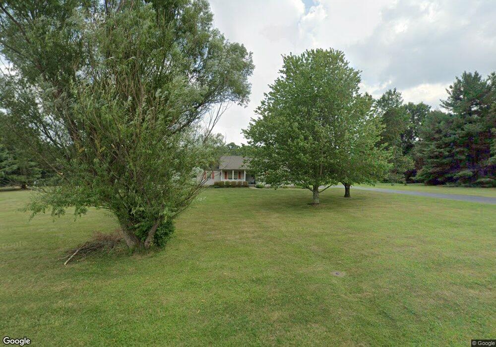
6902 Paxton Rd Loveland, OH 45140
Outer Loveland NeighborhoodEstimated Value: $400,000 - $512,000
3
Beds
2
Baths
1,562
Sq Ft
$285/Sq Ft
Est. Value
About This Home
This home is located at 6902 Paxton Rd, Loveland, OH 45140 and is currently estimated at $444,775, approximately $284 per square foot. 6902 Paxton Rd is a home located in Clermont County with nearby schools including Loveland Primary School, Loveland Elementary School, and Loveland Intermediate School.
Ownership History
Date
Name
Owned For
Owner Type
Purchase Details
Closed on
Dec 16, 2022
Sold by
Funke Margaret Joann
Bought by
Funke Tamara L
Current Estimated Value
Purchase Details
Closed on
Oct 12, 2017
Sold by
Funke Margaret Joann
Bought by
Funke Tamara L
Purchase Details
Closed on
Jun 17, 2004
Sold by
Funke Margaret Joann
Bought by
Funke Margaret Joann
Create a Home Valuation Report for This Property
The Home Valuation Report is an in-depth analysis detailing your home's value as well as a comparison with similar homes in the area
Home Values in the Area
Average Home Value in this Area
Purchase History
| Date | Buyer | Sale Price | Title Company |
|---|---|---|---|
| Funke Tamara L | -- | -- | |
| Funke Tamara L | -- | None Listed On Document | |
| Funke Tamara L | -- | -- | |
| Funke Margaret Joann | -- | -- | |
| Funke Kip W | -- | -- |
Source: Public Records
Tax History Compared to Growth
Tax History
| Year | Tax Paid | Tax Assessment Tax Assessment Total Assessment is a certain percentage of the fair market value that is determined by local assessors to be the total taxable value of land and additions on the property. | Land | Improvement |
|---|---|---|---|---|
| 2024 | $5,780 | $113,270 | $31,260 | $82,010 |
| 2023 | $5,888 | $113,270 | $31,260 | $82,010 |
| 2022 | $4,455 | $82,120 | $22,650 | $59,470 |
| 2021 | $4,463 | $82,120 | $22,650 | $59,470 |
| 2020 | $4,476 | $82,120 | $22,650 | $59,470 |
| 2019 | $4,120 | $72,600 | $22,300 | $50,300 |
| 2018 | $4,143 | $72,600 | $22,300 | $50,300 |
| 2017 | $3,901 | $72,600 | $22,300 | $50,300 |
| 2016 | $3,901 | $65,030 | $19,320 | $45,710 |
| 2015 | $3,745 | $65,030 | $19,320 | $45,710 |
| 2014 | $3,745 | $65,030 | $19,320 | $45,710 |
| 2013 | $3,516 | $64,580 | $19,320 | $45,260 |
Source: Public Records
Map
Nearby Homes
- 6646 Gentlewind Ct
- 1209 Red Roan Dr
- 6661 Gentlewind Ct
- 6690 Morgans Run
- 100 Colonial Dr
- 1122 Black Horse Run
- 6557 Oasis Dr
- 9197 Lawnview Ct
- 101 Founders Dr
- Lot 1009 Zoar Rd
- 3269 Charles Snider
- 927 Blue Heron Ln
- 3265 Charles Snider
- 20 Trailside Estates
- 8 Trailside Estates
- Lot Stone Pillars Ct
- 4 Trailside Estates
- 3 Trailside Estates
- 722 Cedar Dr
- 6853 Obannon Bluff
- 6904 Paxton Rd
- 6900 Paxton Rd
- 6906 Paxton Rd
- 6903 Paxton Rd
- 6910 Paxton Rd
- 1216 Red Roan Dr
- 6905 Paxton Rd
- 6884 Paxton Rd
- 6556 Pleasant Valley Ct
- 6870 Paxton Rd
- 1410 Blackstone Place
- 6914 Paxton Rd
- 6909 Paxton Rd
- 1408 Blackstone Place
- 6555 Pleasant Valley Ct
- 1214 Red Roan Dr
- 1406 Blackstone Place
- 6921 Glen Ellyn Dr
- 1412 Blackstone Place
- 1412 Blackstone Place