6905 Peterson Rd Twentynine Palms, CA 92277
Estimated Value: $342,915 - $652,000
3
Beds
2
Baths
2,850
Sq Ft
$163/Sq Ft
Est. Value
About This Home
This home is located at 6905 Peterson Rd, Twentynine Palms, CA 92277 and is currently estimated at $464,229, approximately $162 per square foot. 6905 Peterson Rd is a home located in San Bernardino County with nearby schools including Oasis Elementary School, Twentynine Palms Junior High School, and Twentynine Palms High School.
Ownership History
Date
Name
Owned For
Owner Type
Purchase Details
Closed on
Feb 13, 2004
Sold by
Lerch Liliane
Bought by
Lerch Liliane and Liliane Lerch Revocable Trust
Current Estimated Value
Purchase Details
Closed on
Mar 29, 2001
Sold by
Klor Gerald
Bought by
Lerch Liliane
Home Financials for this Owner
Home Financials are based on the most recent Mortgage that was taken out on this home.
Original Mortgage
$68,000
Outstanding Balance
$24,825
Interest Rate
6.89%
Estimated Equity
$439,404
Purchase Details
Closed on
Dec 21, 1993
Sold by
Klor George L
Bought by
The George L Klor Trust
Create a Home Valuation Report for This Property
The Home Valuation Report is an in-depth analysis detailing your home's value as well as a comparison with similar homes in the area
Home Values in the Area
Average Home Value in this Area
Purchase History
| Date | Buyer | Sale Price | Title Company |
|---|---|---|---|
| Lerch Liliane | -- | -- | |
| Lerch Liliane | $85,000 | First American Title | |
| The George L Klor Trust | -- | -- |
Source: Public Records
Mortgage History
| Date | Status | Borrower | Loan Amount |
|---|---|---|---|
| Open | Lerch Liliane | $68,000 |
Source: Public Records
Tax History Compared to Growth
Tax History
| Year | Tax Paid | Tax Assessment Tax Assessment Total Assessment is a certain percentage of the fair market value that is determined by local assessors to be the total taxable value of land and additions on the property. | Land | Improvement |
|---|---|---|---|---|
| 2025 | $2,323 | $154,063 | $22,604 | $131,459 |
| 2024 | $2,323 | $151,042 | $22,161 | $128,881 |
| 2023 | $2,240 | $148,080 | $21,726 | $126,354 |
| 2022 | $2,186 | $145,176 | $21,300 | $123,876 |
| 2021 | $2,162 | $118,327 | $20,879 | $97,448 |
| 2020 | $1,883 | $117,114 | $20,665 | $96,449 |
| 2019 | $1,809 | $114,818 | $20,260 | $94,558 |
| 2018 | $1,764 | $112,567 | $19,863 | $92,704 |
| 2017 | $1,739 | $110,360 | $19,474 | $90,886 |
| 2016 | $1,705 | $108,196 | $19,092 | $89,104 |
| 2015 | $1,498 | $106,571 | $18,805 | $87,766 |
| 2014 | $1,490 | $104,484 | $18,437 | $86,047 |
Source: Public Records
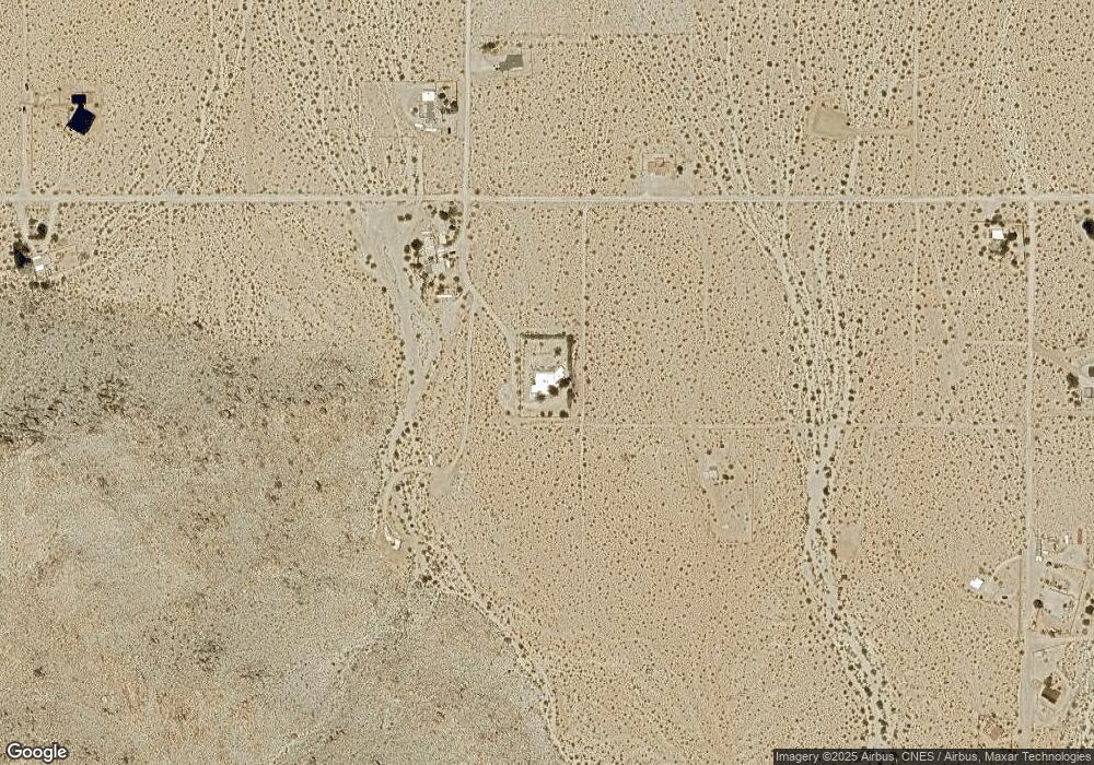
Map
Nearby Homes
- 6767 Peterson Rd
- 6667 Peterson Rd
- 0 Wolfe Rd Unit JT25185144
- 0 Cottonwood Dr Unit IV25076886
- 0 Cottonwood Dr Unit JT25135983
- 0 Cottonwood Dr Unit CV25126976
- 67428 Sullivan Rd
- 68054 Sullivan Rd
- 0 Que Pass Ln Unit IV25159473
- 0 Twentynine Palms Hwy Unit NP24173964
- 2.5 Acres On Hwy 62 Near Hendy's Rd
- 2.5 Acres On Hwy 62 Near Kern Blvd
- 2.5 Acres Hwy 62 Near Robinson Dr
- 8.75 Acres Hwy 62 East of Sawanson Rd
- 29 Palms
- 29 Palms Unit 1
- 0 29 Palms Hwy Unit 25560297
- 0 Twentynine Palms Hwy Unit JT25200350
- 0 Twentynine Palms Hwy Unit TR24192659
- 140 Mantonya Rd
- 67651 Sullivan Rd
- 7034 Peterson Rd
- 67724 Sullivan Rd
- 6886 Peterson Rd
- 6873 Peterson Rd
- 7000 Dorth Place
- 0 S Peterson Rd Unit DC11131767
- 0 Petersen Rd Unit DC15045496
- 67714 Cottonwood Dr
- 67939 Sullivan Rd
- 67922 Foothill Dr
- 0 Jackass Trail Unit CRJT25085847
- 0 Jackass Trail Unit 219054016DA
- 0 Jackass Trail Unit 219037334PS
- 0 Jackass Trail Unit 17219670
- 6969 Jackass Trail
- 67487 Sullivan Rd
- 0 Foothill Rd
- 6887 Wolfe Rd
- 6564 Peterson Rd