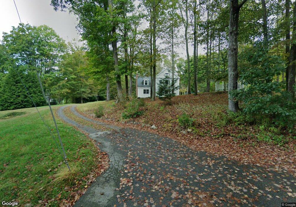
7 Banning Rd East Haddam, CT 06423
Estimated Value: $670,000 - $795,000
3
Beds
3
Baths
2,970
Sq Ft
$250/Sq Ft
Est. Value
About This Home
This home is located at 7 Banning Rd, East Haddam, CT 06423 and is currently estimated at $743,382, approximately $250 per square foot. 7 Banning Rd is a home located in Middlesex County with nearby schools including East Haddam Elementary School, Nathan Hale-Ray Middle School, and Nathan Hale-Ray High School.
Ownership History
Date
Name
Owned For
Owner Type
Purchase Details
Closed on
Jan 31, 2002
Sold by
Rm Lagace & Sons Inc
Bought by
Lagace Richard M
Current Estimated Value
Home Financials for this Owner
Home Financials are based on the most recent Mortgage that was taken out on this home.
Original Mortgage
$105,000
Interest Rate
7.15%
Create a Home Valuation Report for This Property
The Home Valuation Report is an in-depth analysis detailing your home's value as well as a comparison with similar homes in the area
Home Values in the Area
Average Home Value in this Area
Purchase History
| Date | Buyer | Sale Price | Title Company |
|---|---|---|---|
| Lagace Richard M | $35,000 | -- |
Source: Public Records
Mortgage History
| Date | Status | Borrower | Loan Amount |
|---|---|---|---|
| Open | Lagace Richard M | $82,000 | |
| Closed | Lagace Richard M | $35,000 | |
| Closed | Lagace Richard M | $105,000 | |
| Closed | Lagace Richard M | $105,000 |
Source: Public Records
Tax History Compared to Growth
Tax History
| Year | Tax Paid | Tax Assessment Tax Assessment Total Assessment is a certain percentage of the fair market value that is determined by local assessors to be the total taxable value of land and additions on the property. | Land | Improvement |
|---|---|---|---|---|
| 2025 | $9,299 | $331,400 | $86,330 | $245,070 |
| 2024 | $8,868 | $331,400 | $86,330 | $245,070 |
| 2023 | $8,534 | $331,400 | $86,330 | $245,070 |
| 2022 | $7,752 | $243,850 | $70,740 | $173,110 |
| 2021 | $7,423 | $243,850 | $70,740 | $173,110 |
| 2020 | $7,423 | $243,850 | $70,740 | $173,110 |
| 2019 | $7,423 | $243,850 | $70,740 | $173,110 |
| 2018 | $7,233 | $243,850 | $70,740 | $173,110 |
| 2017 | $7,636 | $258,160 | $85,400 | $172,760 |
| 2016 | $7,577 | $258,160 | $85,400 | $172,760 |
| 2015 | $7,404 | $258,160 | $85,400 | $172,760 |
| 2014 | $7,203 | $258,160 | $85,400 | $172,760 |
Source: Public Records
Map
Nearby Homes
- 11 Phelps Rd
- 14 Ferry Rd Unit E2
- 7 Shelter Rock Rd
- 496 Joshuatown Rd
- 53 Selden Rd
- 153 Ferry Rd
- 45 Clark Rd
- 89 Brush Hill Rd
- 153 Mitchell Hill Rd
- 0 Florida Rd
- 47 Ferry Rd
- 2 Acorn Dr
- 131 Middlesex Ave
- 36 Kings Hwy
- 132 Tantumorantum Rd
- 274 Joshuatown Rd
- 11 Kings Hwy
- 79 Middlesex Ave
- 60 Goose Hill Rd
- 31 Birch Hill Rd