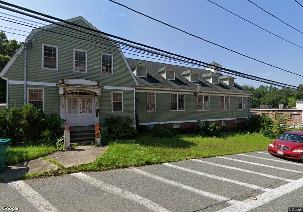
7 Depot St South Grafton, MA 01560
Estimated Value: $880,201
--
Bed
4
Baths
6,600
Sq Ft
$133/Sq Ft
Est. Value
About This Home
This home is located at 7 Depot St, South Grafton, MA 01560 and is currently estimated at $880,201, approximately $133 per square foot. 7 Depot St is a home located in Worcester County with nearby schools including Grafton High School, Silver Spruce Montessori School, and Touchstone Community School.
Ownership History
Date
Name
Owned For
Owner Type
Purchase Details
Closed on
Feb 16, 1999
Sold by
Guhman Kenneth J and Guhman Janet
Bought by
Chiros Richard S and Chiros Theresa L
Current Estimated Value
Home Financials for this Owner
Home Financials are based on the most recent Mortgage that was taken out on this home.
Original Mortgage
$210,000
Outstanding Balance
$49,876
Interest Rate
6.78%
Mortgage Type
Purchase Money Mortgage
Estimated Equity
$830,325
Create a Home Valuation Report for This Property
The Home Valuation Report is an in-depth analysis detailing your home's value as well as a comparison with similar homes in the area
Home Values in the Area
Average Home Value in this Area
Purchase History
| Date | Buyer | Sale Price | Title Company |
|---|---|---|---|
| Chiros Richard S | $225,000 | -- | |
| Chiros Richard S | $225,000 | -- |
Source: Public Records
Mortgage History
| Date | Status | Borrower | Loan Amount |
|---|---|---|---|
| Open | Chiros Richard S | $210,000 | |
| Closed | Chiros Richard S | $210,000 |
Source: Public Records
Tax History Compared to Growth
Tax History
| Year | Tax Paid | Tax Assessment Tax Assessment Total Assessment is a certain percentage of the fair market value that is determined by local assessors to be the total taxable value of land and additions on the property. | Land | Improvement |
|---|---|---|---|---|
| 2025 | $7,475 | $536,200 | $180,400 | $355,800 |
| 2024 | $7,312 | $511,000 | $171,800 | $339,200 |
| 2023 | $7,085 | $451,000 | $156,200 | $294,800 |
| 2022 | $7,115 | $421,500 | $143,300 | $278,200 |
| 2021 | $6,893 | $401,200 | $130,300 | $270,900 |
| 2020 | $6,620 | $401,200 | $130,300 | $270,900 |
| 2019 | $6,444 | $386,800 | $130,300 | $256,500 |
| 2018 | $6,488 | $391,100 | $126,700 | $264,400 |
| 2017 | $6,414 | $391,100 | $126,700 | $264,400 |
| 2016 | $6,184 | $369,200 | $124,700 | $244,500 |
| 2015 | $6,141 | $372,200 | $124,700 | $247,500 |
| 2014 | $5,816 | $381,100 | $124,700 | $256,400 |
Source: Public Records
Map
Nearby Homes
- 29 Sampson St Unit 29
- 395 Providence Rd Unit 4
- 150 Sprague St
- 19 Milford Rd
- 44 Fisherville Terrace
- 55 Fisherville Terrace
- 58 Fisherville Terrace
- 86 Mikes Way Unit 86
- 84 Mikes Way Unit 84
- 109 Main St
- 110 Main St
- 191 Hartness Rd
- 7 Pine Hill Rd
- 2767 Providence Rd
- 90 Leland Hill Rd
- 151 Providence Rd Unit 24
- 58 Buttercup Ln
- 12 Central Turnpike
- 185 Main St
- 61 Tulip Cir
- 11 Depot St
- 13 Depot St
- 314 Providence Rd Unit 1
- 314 Providence Rd Unit 7
- 314 Providence Rd Unit 4
- 314 Providence Rd
- 1 Depot St
- 214 Providence Rd Unit 216
- 319 A-B Providence Rd
- 324 Providence Rd
- 308 Providence Rd Unit 310
- 308 Providence Rd
- 315 Providence Rd
- 318 Providence Rd
- 311 Providence Rd
- 311 Providence Rd Unit 4
- 311 Providence Rd Unit 3
- 311 Providence Rd Unit 1C
- 311 Providence Rd Unit 3B
- 311 Providence Rd Unit 3A