7 Hawks Nest Ridge Westport, MA 02790
Acoaxet NeighborhoodEstimated Value: $2,043,000 - $2,356,000
4
Beds
--
Bath
3,311
Sq Ft
$660/Sq Ft
Est. Value
About This Home
This home is located at 7 Hawks Nest Ridge, Westport, MA 02790 and is currently estimated at $2,186,164, approximately $660 per square foot. 7 Hawks Nest Ridge is a home located in Bristol County with nearby schools including Alice A. Macomber Primary School, Westport Elementary School, and Westport Middle-High School.
Ownership History
Date
Name
Owned For
Owner Type
Purchase Details
Closed on
Feb 15, 2017
Sold by
Green Mark V
Bought by
Green Mark V and Green Karen F
Current Estimated Value
Purchase Details
Closed on
Oct 5, 2005
Sold by
Conaway Donald E and Conaway Patricia G
Bought by
Green Mark
Create a Home Valuation Report for This Property
The Home Valuation Report is an in-depth analysis detailing your home's value as well as a comparison with similar homes in the area
Home Values in the Area
Average Home Value in this Area
Purchase History
| Date | Buyer | Sale Price | Title Company |
|---|---|---|---|
| Green Mark V | -- | -- | |
| Green Mark | $450,000 | -- |
Source: Public Records
Mortgage History
| Date | Status | Borrower | Loan Amount |
|---|---|---|---|
| Previous Owner | Green Mark | $417,000 |
Source: Public Records
Tax History Compared to Growth
Tax History
| Year | Tax Paid | Tax Assessment Tax Assessment Total Assessment is a certain percentage of the fair market value that is determined by local assessors to be the total taxable value of land and additions on the property. | Land | Improvement |
|---|---|---|---|---|
| 2025 | $12,572 | $1,687,500 | $919,600 | $767,900 |
| 2024 | $12,509 | $1,618,300 | $856,000 | $762,300 |
| 2023 | $12,483 | $1,529,800 | $817,800 | $712,000 |
| 2022 | $12,126 | $1,429,900 | $817,800 | $612,100 |
| 2021 | $11,728 | $1,360,600 | $748,500 | $612,100 |
| 2020 | $11,236 | $1,332,800 | $720,700 | $612,100 |
| 2019 | $10,907 | $1,318,900 | $720,700 | $598,200 |
| 2018 | $12,116 | $1,483,000 | $335,100 | $1,147,900 |
| 2017 | $11,846 | $1,486,300 | $335,100 | $1,151,200 |
| 2016 | $11,806 | $1,492,600 | $341,400 | $1,151,200 |
| 2015 | $11,932 | $1,504,700 | $341,400 | $1,163,300 |
Source: Public Records
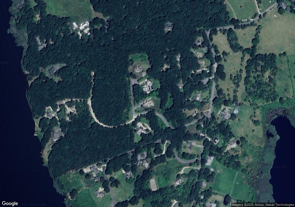
Map
Nearby Homes
- 189 Brayton Point Rd
- 304 Brayton Point Rd
- 19 Seabury Ln
- 255 John Dyer Rd
- 18 Old Barn Rd
- 128 Maple Ave
- 505 Long Hwy
- 141 S Of Commons Rd
- 245 John Dyer Rd
- 1881 Main Rd
- 0 Willow Ave
- 1580 Main Rd
- 0 Reed Rd (Ss)
- 116 Amy Hart Path
- 17 Quail Trail
- 1702J Drift Rd
- 1702 Drift Rd
- 1346 Main Rd Unit B
- 536 W Main Rd
- 83 Long Hwy
- 1 Red Tail Rd
- 3 Red Tail Rd
- 6 Hawks Nest Ridge
- 263 Brayton Pt Rd
- 5 Red Tail Rd
- 127C Brayton Point Rd
- 145 Brayton Point Rd
- 22 Ellsworth
- 141 Brayton Point Rd
- 127B Brayton Point Rd
- 127 Brayton Point Rd
- 127 Brayton Point Rd
- 127A Brayton Point Rd
- 127D Brayton Point Rd
- 1 Ellsworth Dr
- 36 Hawks Nest Ridge
- 5 Ellsworth Dr
- 153 Brayton Point Rd
- 133 Brayton Point Rd
- 117 Brayton Point Rd