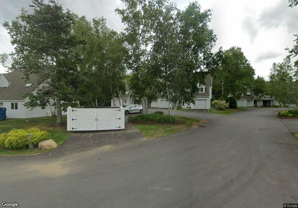
7 High Country Way Waterville Valley, NH 03215
Estimated Value: $851,355 - $930,000
4
Beds
3
Baths
2,100
Sq Ft
$427/Sq Ft
Est. Value
About This Home
This home is located at 7 High Country Way, Waterville Valley, NH 03215 and is currently estimated at $897,339, approximately $427 per square foot. 7 High Country Way is a home located in Grafton County with nearby schools including Waterville Valley Elementary School.
Ownership History
Date
Name
Owned For
Owner Type
Purchase Details
Closed on
May 22, 2020
Sold by
Duncan Mark W and Duncan Susan K
Bought by
Gohr Gregory J and Gohr Kristen M
Current Estimated Value
Purchase Details
Closed on
Jun 16, 2011
Sold by
Clarkson Marilyn C
Bought by
Duncan Mark W and Duncan Susan K
Home Financials for this Owner
Home Financials are based on the most recent Mortgage that was taken out on this home.
Original Mortgage
$280,000
Interest Rate
4.74%
Mortgage Type
Purchase Money Mortgage
Create a Home Valuation Report for This Property
The Home Valuation Report is an in-depth analysis detailing your home's value as well as a comparison with similar homes in the area
Home Values in the Area
Average Home Value in this Area
Purchase History
| Date | Buyer | Sale Price | Title Company |
|---|---|---|---|
| Gohr Gregory J | $453,533 | None Available | |
| Duncan Mark W | $390,000 | -- |
Source: Public Records
Mortgage History
| Date | Status | Borrower | Loan Amount |
|---|---|---|---|
| Previous Owner | Duncan Mark W | $280,000 |
Source: Public Records
Tax History Compared to Growth
Tax History
| Year | Tax Paid | Tax Assessment Tax Assessment Total Assessment is a certain percentage of the fair market value that is determined by local assessors to be the total taxable value of land and additions on the property. | Land | Improvement |
|---|---|---|---|---|
| 2024 | $8,931 | $987,900 | $0 | $987,900 |
| 2023 | $7,831 | $649,900 | $0 | $649,900 |
| 2022 | $6,889 | $649,900 | $0 | $649,900 |
| 2021 | $6,873 | $438,900 | $0 | $438,900 |
| 2020 | $6,254 | $438,900 | $0 | $438,900 |
| 2019 | $6,206 | $438,900 | $0 | $438,900 |
| 2018 | $6,206 | $438,900 | $0 | $438,900 |
| 2017 | $6,254 | $438,900 | $0 | $438,900 |
| 2016 | $5,529 | $394,900 | $0 | $394,900 |
| 2015 | $5,687 | $394,900 | $0 | $394,900 |
| 2014 | -- | $394,900 | $0 | $394,900 |
| 2009 | $4,907 | $420,100 | $0 | $420,100 |
Source: Public Records
Map
Nearby Homes
- 15 Moose Way Unit 28
- 10 Avalanche Way Unit 12
- 27 Jasinski Rd
- 111 W Branch Rd Unit 4
- 8 Emerson Way Unit F5
- 23 Black Bear Rd Unit 204
- 23 Black Bear Rd Unit 308
- 23 Black Bear Rd Unit 305
- 23 Black Bear Rd Unit 410
- 11 Bull Hill Way
- 36 Tyler Spring Way Unit 11
- 7 Bull Hill Way
- 46 Packard's Rd Unit 104- Week 28
- 46 Packard's Rd Unit 104- Week 38
- 46 Packard's Rd Unit 307- Week 4
- 46 Packard's Rd Unit 405- Week 28
- 46 Packard's Rd Unit 309- Week 48 October
- 46 Packard's Rd Unit 306- Week 42 October
- 28 Packard Rd Unit 412
- 20 Pine Tree Way
- 4 High Country Way Unit 25
- 15 High Country Way Unit 23
- 4 High Country Way
- 7 High Country Way Unit 19
- 2 High Country Way Unit 26
- 5 High Country Way
- 3 High Country Unit 17
- 13 High Country Way Unit 22
- 9 High Country Way Unit 20
- 87 Osceola Rd Unit 13
- 87 Osceola Rd
- 99 Osceola Rd
- 88 Osceola Rd Unit 44
- 102 Osceola Rd Unit 37
- 79 Osceola Rd Unit 9
- 71 Dcours Way Unit 71
- 13 Stone Tower Ln
- 23 Stone Tower Ln
- 17 Tee House Ln
- 105 Osceola Rd