7 Oliver Swain Rd North Reading, MA 01864
Estimated Value: $1,761,356 - $2,215,000
4
Beds
3
Baths
4,537
Sq Ft
$430/Sq Ft
Est. Value
About This Home
This home is located at 7 Oliver Swain Rd, North Reading, MA 01864 and is currently estimated at $1,951,839, approximately $430 per square foot. 7 Oliver Swain Rd is a home located in Middlesex County with nearby schools including Batchelder School, North Reading Middle School, and North Reading High School.
Ownership History
Date
Name
Owned For
Owner Type
Purchase Details
Closed on
Jan 22, 2004
Sold by
Yiakas Joseph C
Bought by
Yiakas Tr Joseph C
Current Estimated Value
Purchase Details
Closed on
Apr 30, 2003
Sold by
Shenandoah Valley Corp
Bought by
Yiakas Joseph C
Home Financials for this Owner
Home Financials are based on the most recent Mortgage that was taken out on this home.
Original Mortgage
$600,000
Interest Rate
5.82%
Mortgage Type
Purchase Money Mortgage
Create a Home Valuation Report for This Property
The Home Valuation Report is an in-depth analysis detailing your home's value as well as a comparison with similar homes in the area
Home Values in the Area
Average Home Value in this Area
Purchase History
| Date | Buyer | Sale Price | Title Company |
|---|---|---|---|
| Yiakas Tr Joseph C | -- | -- | |
| Yiakas Tr Joseph C | -- | -- | |
| Yiakas Tr Joseph C | -- | -- | |
| Yiakas Joseph C | $882,113 | -- | |
| Yiakas Joseph C | $882,113 | -- |
Source: Public Records
Mortgage History
| Date | Status | Borrower | Loan Amount |
|---|---|---|---|
| Open | Yiakas Joseph C | $417,000 | |
| Closed | Yiakas Joseph C | $300,000 | |
| Previous Owner | Yiakas Joseph C | $600,000 |
Source: Public Records
Tax History Compared to Growth
Tax History
| Year | Tax Paid | Tax Assessment Tax Assessment Total Assessment is a certain percentage of the fair market value that is determined by local assessors to be the total taxable value of land and additions on the property. | Land | Improvement |
|---|---|---|---|---|
| 2025 | $21,639 | $1,656,900 | $509,200 | $1,147,700 |
| 2024 | $19,357 | $1,465,300 | $461,300 | $1,004,000 |
| 2023 | $18,828 | $1,345,800 | $448,300 | $897,500 |
| 2022 | $17,480 | $1,165,300 | $404,700 | $760,600 |
| 2021 | $19,844 | $1,067,600 | $360,800 | $706,800 |
Source: Public Records
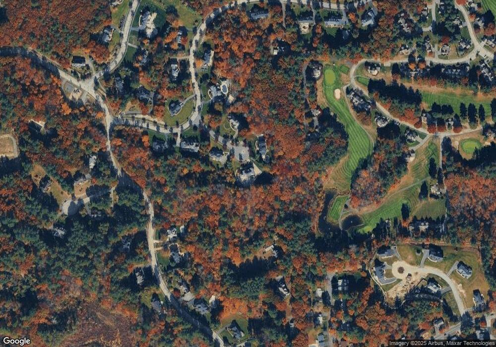
Map
Nearby Homes
- 103 Elm St
- 44 Brassie Way
- 2 Bigham Rd
- 28 Niblick Way
- 220 Swan Pond Rd
- 6 White Ln
- 10 Dogwood Ln
- 1466 Main St
- 62 Cabral Dr
- 245 Elm St
- 5 Theresa Rd
- 13 Washington St
- Beverly Plan at Willis Brook at Lynnfield
- Sutton Plan at Willis Brook at Lynnfield
- Topsfield Plan at Willis Brook at Lynnfield
- Westford Plan at Willis Brook at Lynnfield
- 19 Fairway Ln
- 19 Fairway Ln Unit 53
- 15 Couture Way
- 62 Catherine Dr
- 6 Oliver Swain Rd
- 5 Oliver Swain Rd
- 4 Oliver Swain Rd
- 3 Tarbox Ln
- 12 Fairview St
- 5 Sand Iron Way
- 5 Tarbox Ln
- 3 Sand Iron Way
- 3 Sand Iron Way Unit 3
- 3 Sand Iron Way Unit 1 73
- 1 Tarbox Ln
- 17 Macintyre Dr
- 4 Tarbox Ln
- 15 Macintyre Dr
- 10 Fairview St
- 13 Macintyre Dr
- 1 Sand Iron Way
- 7 Tarbox Ln
- 13 Tarbox Ln
- 15 Spoon Way Unit 15