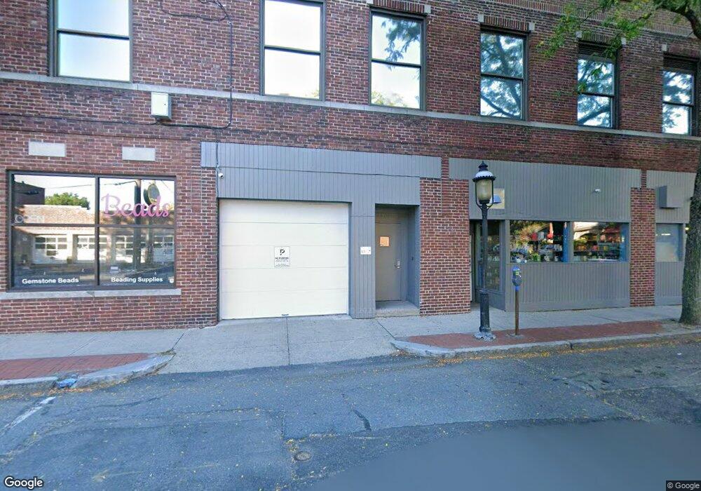
7 Pearl St Northampton, MA 01060
--
Bed
--
Bath
4,070
Sq Ft
0.26
Acres
About This Home
This home is located at 7 Pearl St, Northampton, MA 01060. 7 Pearl St is a home located in Hampshire County with nearby schools including Northampton High School, Hilltown Cooperative Charter Public School, and The Montessori School of Northampton.
Ownership History
Date
Name
Owned For
Owner Type
Purchase Details
Closed on
Oct 18, 1991
Sold by
Heldon Rt
Bought by
Gleason Bros Inc
Home Financials for this Owner
Home Financials are based on the most recent Mortgage that was taken out on this home.
Original Mortgage
$77,000
Interest Rate
9.06%
Mortgage Type
Commercial
Create a Home Valuation Report for This Property
The Home Valuation Report is an in-depth analysis detailing your home's value as well as a comparison with similar homes in the area
Home Values in the Area
Average Home Value in this Area
Purchase History
| Date | Buyer | Sale Price | Title Company |
|---|---|---|---|
| Gleason Bros Inc | $62,900 | -- |
Source: Public Records
Mortgage History
| Date | Status | Borrower | Loan Amount |
|---|---|---|---|
| Open | Gleason Bros Inc | $1,400,000 | |
| Closed | Gleason Bros Inc | $85,000 | |
| Closed | Gleason Bros Inc | $1,100,000 | |
| Closed | Gleason Bros Inc | $77,000 |
Source: Public Records
Tax History Compared to Growth
Tax History
| Year | Tax Paid | Tax Assessment Tax Assessment Total Assessment is a certain percentage of the fair market value that is determined by local assessors to be the total taxable value of land and additions on the property. | Land | Improvement |
|---|---|---|---|---|
| 2025 | $61,575 | $4,420,300 | $244,900 | $4,175,400 |
| 2024 | $63,643 | $4,189,800 | $244,900 | $3,944,900 |
| 2023 | $56,633 | $3,575,300 | $244,900 | $3,330,400 |
| 2022 | $57,998 | $3,241,900 | $237,800 | $3,004,100 |
| 2021 | $49,699 | $2,861,200 | $237,800 | $2,623,400 |
| 2020 | $48,068 | $2,861,200 | $237,800 | $2,623,400 |
| 2019 | $47,832 | $2,753,700 | $220,600 | $2,533,100 |
| 2018 | $46,258 | $2,714,700 | $220,550 | $2,494,150 |
| 2017 | $45,308 | $2,714,700 | $220,550 | $2,494,150 |
| 2016 | $43,870 | $2,714,700 | $220,550 | $2,494,150 |
| 2015 | $43,731 | $2,767,800 | $220,550 | $2,547,250 |
| 2014 | $42,596 | $2,767,800 | $220,550 | $2,547,250 |
Source: Public Records
Map
Nearby Homes
- 36 Butler Place
- 10 Hawley St Unit 4C
- 10 Hawley St Unit 4D
- 10 Hawley St Unit 4B
- 10 Hawley St Unit 4A
- 107 Williams St Unit 2c
- 107 Williams St Unit 3c
- 107 Williams St Unit A1
- 107 Williams St Unit 2B
- 244 Main St
- 43 Center St Unit K
- 58 Phillips Place
- 67 Old South St
- 30 Graves Ave Unit B
- 35 New South St Unit 307
- 12 School St
- 30 Cherry St
- 30 Cherry St Unit A
- 30 Cherry St Unit B
- 9 Walnut St Unit B
- 2 Gleason Plaza
- 111 Pleasant St
- 129 Pleasant St
- 185 Pleasant St Unit D
- 185 Pleasant St Unit C
- 84 Pleasant St
- 20 Hampton Ave Unit 180
- 20 Hampton Ave Unit 160
- 20 Hampton Ave
- 41 Strong Ave
- 41 Strong Ave Unit 4
- 196 Pleasant St
- 76 Pleasant St Unit 5
- 3 Hampton Ave
- 79 Pleasant St
- 125 Pleasant St
- 71 Pleasant St
- 223 Pleasant St
- 101 Randolph Place Unit 101
- 42 Pleasant St Unit 6