70 Hillside Rd Tewksbury, MA 01876
Estimated Value: $743,000 - $835,000
4
Beds
2
Baths
1,800
Sq Ft
$433/Sq Ft
Est. Value
About This Home
This home is located at 70 Hillside Rd, Tewksbury, MA 01876 and is currently estimated at $780,069, approximately $433 per square foot. 70 Hillside Rd is a home located in Middlesex County with nearby schools including Heath-Brook Elementary School, John W. Wynn Middle School, and John F. Ryan Elementary School.
Ownership History
Date
Name
Owned For
Owner Type
Purchase Details
Closed on
Nov 15, 1993
Sold by
Learned Kim and Learned Michael
Bought by
Regan Philip A and Hawkins Kristina
Current Estimated Value
Home Financials for this Owner
Home Financials are based on the most recent Mortgage that was taken out on this home.
Original Mortgage
$131,000
Interest Rate
6.79%
Mortgage Type
Purchase Money Mortgage
Create a Home Valuation Report for This Property
The Home Valuation Report is an in-depth analysis detailing your home's value as well as a comparison with similar homes in the area
Home Values in the Area
Average Home Value in this Area
Purchase History
| Date | Buyer | Sale Price | Title Company |
|---|---|---|---|
| Regan Philip A | $171,000 | -- |
Source: Public Records
Mortgage History
| Date | Status | Borrower | Loan Amount |
|---|---|---|---|
| Open | Regan Philip A | $250,000 | |
| Closed | Regan Philip A | $131,000 | |
| Previous Owner | Regan Philip A | $147,600 |
Source: Public Records
Tax History Compared to Growth
Tax History
| Year | Tax Paid | Tax Assessment Tax Assessment Total Assessment is a certain percentage of the fair market value that is determined by local assessors to be the total taxable value of land and additions on the property. | Land | Improvement |
|---|---|---|---|---|
| 2025 | $8,828 | $667,800 | $297,900 | $369,900 |
| 2024 | $8,256 | $616,600 | $283,700 | $332,900 |
| 2023 | $8,047 | $570,700 | $258,200 | $312,500 |
| 2022 | $7,506 | $493,800 | $224,500 | $269,300 |
| 2021 | $7,219 | $459,200 | $204,000 | $255,200 |
| 2020 | $7,100 | $444,600 | $194,300 | $250,300 |
| 2019 | $6,379 | $402,700 | $185,000 | $217,700 |
| 2018 | $6,254 | $387,700 | $185,000 | $202,700 |
| 2017 | $5,997 | $367,700 | $185,000 | $182,700 |
| 2016 | $5,798 | $354,600 | $185,000 | $169,600 |
| 2015 | $5,802 | $354,400 | $176,100 | $178,300 |
| 2014 | $5,474 | $339,800 | $176,100 | $163,700 |
Source: Public Records
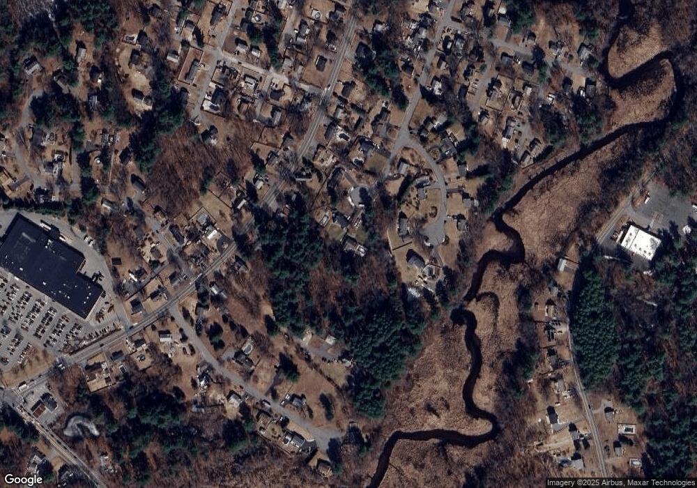
Map
Nearby Homes
- 80 Hillside Rd
- 45 Dufresne Dr
- 75 Hillside Rd
- 60 Dufresne Dr
- 35 Dufresne Dr
- 715 Shawsheen St
- 721 Shawsheen St
- 65 Hillside Rd
- 705 Shawsheen St
- 729 Shawsheen St
- 737 Shawsheen St
- 50 Dufresne Dr
- 697 Shawsheen St
- 55 Hillside Rd
- 724 Shawsheen St
- 716 Shawsheen St
- 745 Shawsheen St
- 30 Dufresne Dr
- 687 Shawsheen St
- 700 Shawsheen St