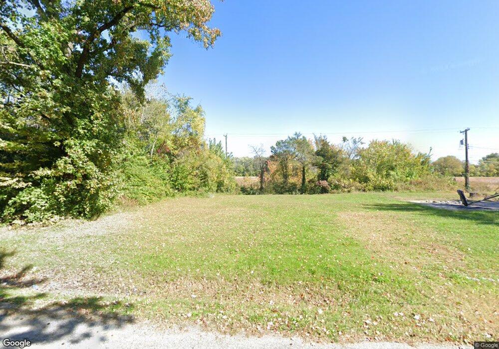
70 Lauralee Dr East Saint Louis, IL 62206
Estimated Value: $77,000 - $143,000
--
Bed
--
Bath
--
Sq Ft
6,534
Sq Ft Lot
About This Home
This home is located at 70 Lauralee Dr, East Saint Louis, IL 62206 and is currently estimated at $120,272. 70 Lauralee Dr is a home located in St. Clair County.
Ownership History
Date
Name
Owned For
Owner Type
Purchase Details
Closed on
Jun 28, 2011
Sold by
Martin Elda M
Bought by
County Of Saint Clair
Current Estimated Value
Purchase Details
Closed on
Mar 16, 2005
Sold by
Baxton Larry
Bought by
Martin Elda M
Home Financials for this Owner
Home Financials are based on the most recent Mortgage that was taken out on this home.
Original Mortgage
$61,750
Interest Rate
9%
Mortgage Type
Fannie Mae Freddie Mac
Purchase Details
Closed on
May 1, 2002
Sold by
Ingomar Lp
Bought by
Baxton Larry
Purchase Details
Closed on
Apr 12, 2001
Sold by
Webb Shelia
Bought by
Ingomar Lp
Create a Home Valuation Report for This Property
The Home Valuation Report is an in-depth analysis detailing your home's value as well as a comparison with similar homes in the area
Home Values in the Area
Average Home Value in this Area
Purchase History
| Date | Buyer | Sale Price | Title Company |
|---|---|---|---|
| County Of Saint Clair | -- | None Available | |
| Martin Elda M | $65,000 | Benchmark Title Company | |
| Baxton Larry | $2,000 | First American Title Ins | |
| Ingomar Lp | -- | -- |
Source: Public Records
Mortgage History
| Date | Status | Borrower | Loan Amount |
|---|---|---|---|
| Previous Owner | Martin Elda M | $61,750 |
Source: Public Records
Tax History Compared to Growth
Tax History
| Year | Tax Paid | Tax Assessment Tax Assessment Total Assessment is a certain percentage of the fair market value that is determined by local assessors to be the total taxable value of land and additions on the property. | Land | Improvement |
|---|---|---|---|---|
| 2024 | -- | $64 | $64 | $0 |
| 2023 | -- | $58 | $58 | $0 |
| 2022 | $0 | $51 | $51 | $0 |
| 2021 | $0 | $48 | $48 | $0 |
| 2020 | $0 | $45 | $45 | $0 |
| 2019 | $0 | $45 | $45 | $0 |
| 2018 | $0 | $46 | $46 | $0 |
| 2017 | $0 | $45 | $45 | $0 |
| 2016 | $0 | $54 | $54 | $0 |
| 2014 | -- | $53 | $53 | $0 |
| 2013 | $122 | $50 | $50 | $0 |
Source: Public Records
Map
Nearby Homes