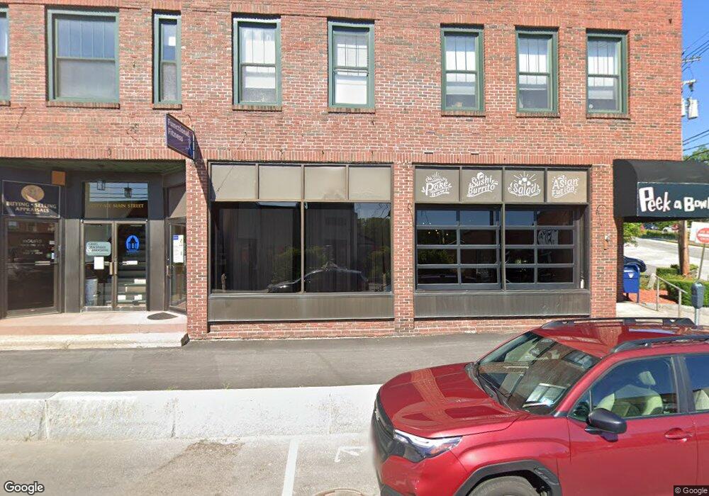
70 Main St Plymouth, NH 03264
Estimated Value: $386,600
--
Bed
--
Bath
1,360
Sq Ft
$284/Sq Ft
Est. Value
About This Home
This home is located at 70 Main St, Plymouth, NH 03264 and is currently estimated at $386,600, approximately $284 per square foot. 70 Main St is a home located in Grafton County with nearby schools including Plymouth Elementary School, Plymouth Regional High School, and Plymouth State University CD & FC.
Ownership History
Date
Name
Owned For
Owner Type
Purchase Details
Closed on
Nov 13, 2020
Sold by
Sadoba Llc
Bought by
Peek A Bowl Llc
Current Estimated Value
Purchase Details
Closed on
Jan 26, 2012
Sold by
Tri Fox Partnership
Bought by
Sadoba Llc
Create a Home Valuation Report for This Property
The Home Valuation Report is an in-depth analysis detailing your home's value as well as a comparison with similar homes in the area
Home Values in the Area
Average Home Value in this Area
Purchase History
| Date | Buyer | Sale Price | Title Company |
|---|---|---|---|
| Peek A Bowl Llc | $245,000 | None Available | |
| Peek A Bowl Llc | $245,000 | None Available | |
| Sadoba Llc | $200,000 | -- | |
| Sadoba Llc | $200,000 | -- |
Source: Public Records
Mortgage History
| Date | Status | Borrower | Loan Amount |
|---|---|---|---|
| Previous Owner | Sadoba Llc | $132,000 | |
| Closed | Sadoba Llc | $0 |
Source: Public Records
Tax History Compared to Growth
Tax History
| Year | Tax Paid | Tax Assessment Tax Assessment Total Assessment is a certain percentage of the fair market value that is determined by local assessors to be the total taxable value of land and additions on the property. | Land | Improvement |
|---|---|---|---|---|
| 2024 | $7,704 | $306,700 | $0 | $306,700 |
| 2023 | $7,477 | $306,700 | $0 | $306,700 |
| 2022 | $7,027 | $223,500 | $0 | $223,500 |
| 2021 | $6,815 | $223,500 | $0 | $223,500 |
| 2020 | $6,775 | $237,800 | $0 | $237,800 |
| 2019 | $6,704 | $237,800 | $0 | $237,800 |
| 2018 | $6,016 | $237,800 | $0 | $237,800 |
| 2017 | $5,593 | $189,200 | $0 | $189,200 |
| 2016 | $4,762 | $189,200 | $0 | $189,200 |
| 2015 | $4,624 | $189,200 | $0 | $189,200 |
| 2014 | $4,528 | $189,200 | $0 | $189,200 |
| 2013 | $4,546 | $189,200 | $0 | $189,200 |
Source: Public Records
Map
Nearby Homes
- 28, 29 &42 Railroad & Main Square
- 25 Wentworth St
- 6 Boe Rd
- 10 Hawthorne St
- 12 Broadway St
- 75 Pleasant St
- 0 Binks Hill Rd
- 0 Oak Ridge Rd Unit 27
- 72 Crescent St
- 18 Wildflower Ln Unit 208-97-8-01
- 20 Wildflower Ln Unit 208-97-9-2
- 20 Wildflower Ln Unit 208-97-9-1
- 0 Woodland Way Unit 31/2
- 9 Blueberry Hill Rd Unit 8
- 14 Heritage Hill Rd
- 585 N Ashland Rd
- 263 Highland St
- 96 Fairway Dr Unit 1
- 64 Fairway Dr
- 133 Sargent Rd