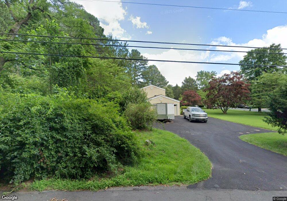
700 Doages Dr Millersville, MD 21108
Estimated Value: $569,901 - $696,000
--
Bed
2
Baths
2,052
Sq Ft
$309/Sq Ft
Est. Value
About This Home
This home is located at 700 Doages Dr, Millersville, MD 21108 and is currently estimated at $634,475, approximately $309 per square foot. 700 Doages Dr is a home located in Anne Arundel County with nearby schools including Millersville Elementary School, Old Mill High School, and Guidepost Montessori at Gambrills.
Ownership History
Date
Name
Owned For
Owner Type
Purchase Details
Closed on
Mar 11, 1993
Sold by
Greer Kenneth M
Bought by
Samuelson Kenrick C and Samuelson Et Al Sharon L
Current Estimated Value
Home Financials for this Owner
Home Financials are based on the most recent Mortgage that was taken out on this home.
Original Mortgage
$159,000
Interest Rate
7.44%
Create a Home Valuation Report for This Property
The Home Valuation Report is an in-depth analysis detailing your home's value as well as a comparison with similar homes in the area
Home Values in the Area
Average Home Value in this Area
Purchase History
| Date | Buyer | Sale Price | Title Company |
|---|---|---|---|
| Samuelson Kenrick C | $176,800 | -- |
Source: Public Records
Mortgage History
| Date | Status | Borrower | Loan Amount |
|---|---|---|---|
| Closed | Samuelson Kenrick C | $159,000 |
Source: Public Records
Tax History Compared to Growth
Tax History
| Year | Tax Paid | Tax Assessment Tax Assessment Total Assessment is a certain percentage of the fair market value that is determined by local assessors to be the total taxable value of land and additions on the property. | Land | Improvement |
|---|---|---|---|---|
| 2025 | $4,131 | $460,900 | $255,000 | $205,900 |
| 2024 | $4,131 | $455,133 | $0 | $0 |
| 2023 | $4,024 | $449,367 | $0 | $0 |
| 2022 | $3,777 | $443,600 | $255,000 | $188,600 |
| 2021 | $7,402 | $422,700 | $0 | $0 |
| 2020 | $3,585 | $401,800 | $0 | $0 |
| 2019 | $3,514 | $380,900 | $215,000 | $165,900 |
| 2018 | $3,772 | $372,000 | $0 | $0 |
| 2017 | $3,313 | $363,100 | $0 | $0 |
| 2016 | -- | $354,200 | $0 | $0 |
| 2015 | -- | $354,200 | $0 | $0 |
| 2014 | -- | $354,200 | $0 | $0 |
Source: Public Records
Map
Nearby Homes
- 1220 Indian Landing Rd
- 771 Generals Hwy
- 610 Echo Cove Dr
- 1158 Blue Bird Ln
- 626 Evergreen Rd
- 983 Wayside Dr
- 1013 Waterbury Heights Dr
- 405 Ben Oaks Dr W
- 1610 Hog Farm Rd
- 1080 Generals Hwy
- 762 Cougar Dr
- 717 Whitneys Landing Dr
- 1400 Lower View Ct
- 518 Lakeland Rd S
- 8201 Longford Rd
- 1037 Dockser Dr
- 397 Charles Hall Dr
- 596 West Dr
- 30 Highland Dr
- 439A Lakeland Rd N
- Indian Landing Rd
- 704 Doages Dr
- 701 Doages Dr
- 1102 Indian Landing Rd
- 705 Doages Dr
- 708 Doages Dr
- 1108 Indian Landing Rd
- 712 Doages Dr
- 709 Doages Dr
- 1119 Indian Landing Rd
- 701 Mattawa Ct
- 705 Mattawa Ct
- 1120 Indian Landing Rd
- 713 Doages Dr
- 1125 Indian Landing Rd
- 1127 Indian Landing Rd
- 713 Mattawa Ct
- 704 Mattawa Ct
- 1128 Indian Landing Rd
- 716 Doages Dr