700 Grouse Ridge Dr Gallatin Gateway, MT 59730
Big Sky NeighborhoodEstimated Value: $2,285,000 - $2,625,758
3
Beds
3
Baths
2,752
Sq Ft
$892/Sq Ft
Est. Value
About This Home
This home is located at 700 Grouse Ridge Dr, Gallatin Gateway, MT 59730 and is currently estimated at $2,455,379, approximately $892 per square foot. 700 Grouse Ridge Dr is a home located in Gallatin County with nearby schools including Ophir Elementary School, Ophir Junior High School, and Lone Peak High School.
Ownership History
Date
Name
Owned For
Owner Type
Purchase Details
Closed on
Dec 16, 2022
Sold by
Vande Ven John A
Bought by
Vande Ven James D
Current Estimated Value
Purchase Details
Closed on
Dec 15, 2022
Sold by
Vande Ven James D
Bought by
Vande Ven James D and Vande Van De
Purchase Details
Closed on
Oct 18, 2021
Sold by
Vande Ven Andrew H and Vande Van De
Bought by
Vande Ven Andrew H and Andrew H Van De Ven Revocable
Purchase Details
Closed on
Apr 14, 2020
Sold by
Andrew H Van De Ven Revocable Trust
Bought by
Andrew H Van De Ven Revocable Trust
Create a Home Valuation Report for This Property
The Home Valuation Report is an in-depth analysis detailing your home's value as well as a comparison with similar homes in the area
Home Values in the Area
Average Home Value in this Area
Purchase History
| Date | Buyer | Sale Price | Title Company |
|---|---|---|---|
| Vande Ven James D | -- | -- | |
| Vande Ven James D | -- | -- | |
| Vande Ven Andrew H | -- | None Available | |
| Andrew H Van De Ven Revocable Trust | -- | -- |
Source: Public Records
Tax History Compared to Growth
Tax History
| Year | Tax Paid | Tax Assessment Tax Assessment Total Assessment is a certain percentage of the fair market value that is determined by local assessors to be the total taxable value of land and additions on the property. | Land | Improvement |
|---|---|---|---|---|
| 2025 | $8,293 | $1,961,700 | $0 | $0 |
| 2024 | $8,049 | $1,828,400 | $0 | $0 |
| 2023 | $7,753 | $1,828,400 | $0 | $0 |
| 2022 | $6,758 | $1,034,018 | $0 | $0 |
| 2021 | $6,591 | $1,034,018 | $0 | $0 |
| 2020 | $5,866 | $908,281 | $0 | $0 |
| 2019 | $5,364 | $908,281 | $0 | $0 |
| 2018 | $5,208 | $810,462 | $0 | $0 |
| 2017 | $5,808 | $810,462 | $0 | $0 |
| 2016 | $4,252 | $583,600 | $0 | $0 |
| 2015 | $4,243 | $588,450 | $0 | $0 |
| 2014 | $5,968 | $514,153 | $0 | $0 |
Source: Public Records
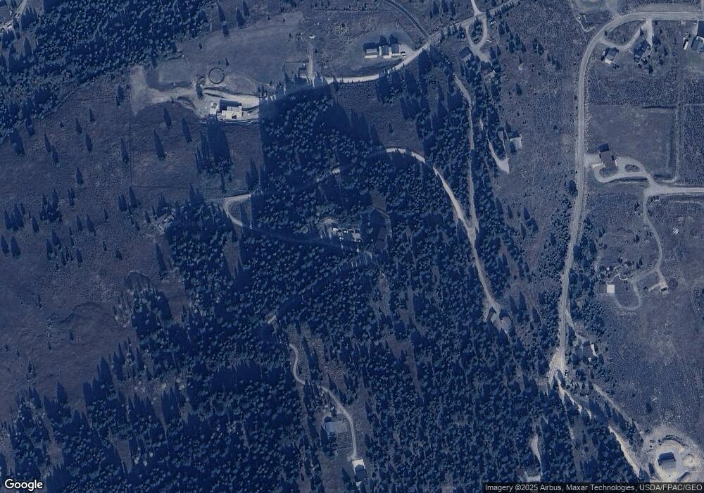
Map
Nearby Homes
- 454 Grouse Ridge Dr
- 135 Twin Antler Dr
- TBD Timberloft Dr
- 37 Talus Trail
- 1200 Towering Pines
- 238 Great Gray Hollow
- 141 Black Wolf Ridge
- Lot 2 Riverview Ln
- TBD Sawtooth Rd Unit Lot 21
- 165 Trophy Bull Rd
- 330 Stellar Jay Way
- 200 Misty Mountain Ct
- 100 Misty Mountain Ct Unit 100
- 90 Misty Mountain Ct Unit 90
- 80 Misty Mountain Ct Unit 80
- Lot 30 Colters Run Loop
- Lot 18 Colters Run Loop
- Lot 32 Colters Run Loop
- Lot 29 Colters Run Loop
- Lot 28 Colters Run Loop
- 401 Twin Antler Dr
- 371 Grouse Ridge Dr
- Nhn Twin Antler Dr
- 0 Twin Antler Dr
- tbd Twin Antler Dr
- 440 Beaver Mountain Trail
- 54 Grouse Ridge Dr
- 330 Beaver Mountain Trail
- 330 Beaver Mountain Trail
- COS 2071 Tract 1 Gallatin Rd
- 5000 Twin Antler Dr
- 100 Twin Antler Dr
- Tr 2 Cos 2071 Hwy 191
- 355 Beaver Mountain Trail
- 500 Beaver Creek Rd
- 333 Beaver Mountain Trail
- Lot 6 Beaver Mtn Trl and Twin Antler Rd
- 750 Beaver Creek Rd
- 239 Beaver Mountain Trail
- 920 Beaver Creek Rd