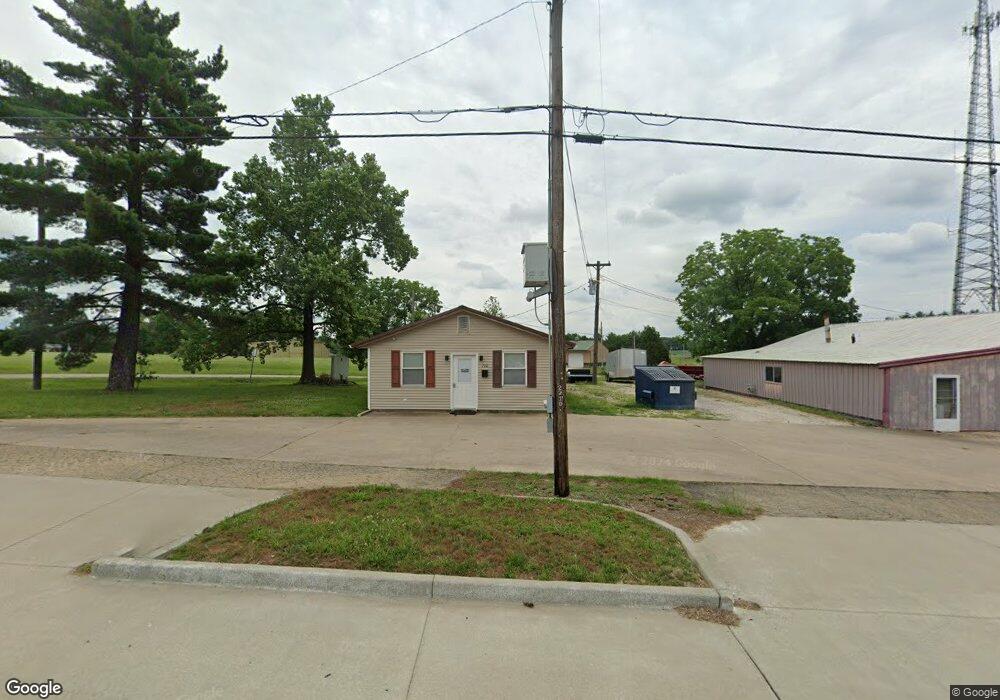
700 S Kingshighway St Perryville, MO 63775
Estimated Value: $156,702
--
Bed
--
Bath
1,488
Sq Ft
$105/Sq Ft
Est. Value
About This Home
This home is located at 700 S Kingshighway St, Perryville, MO 63775 and is currently priced at $156,702, approximately $105 per square foot. 700 S Kingshighway St is a home located in Perry County with nearby schools including Perryville Primary Center, Perryville Elementary School, and Perry County Middle School.
Ownership History
Date
Name
Owned For
Owner Type
Purchase Details
Closed on
Dec 18, 2019
Sold by
Hoffman David L and Hoffman Joan M
Bought by
Miller Brad J and Miller Jacqueline L
Current Estimated Value
Home Financials for this Owner
Home Financials are based on the most recent Mortgage that was taken out on this home.
Original Mortgage
$66,400
Outstanding Balance
$58,541
Interest Rate
3.6%
Mortgage Type
Construction
Create a Home Valuation Report for This Property
The Home Valuation Report is an in-depth analysis detailing your home's value as well as a comparison with similar homes in the area
Home Values in the Area
Average Home Value in this Area
Purchase History
| Date | Buyer | Sale Price | Title Company |
|---|---|---|---|
| Miller Brad J | $83,000 | -- |
Source: Public Records
Mortgage History
| Date | Status | Borrower | Loan Amount |
|---|---|---|---|
| Open | Miller Brad J | $66,400 |
Source: Public Records
Tax History Compared to Growth
Tax History
| Year | Tax Paid | Tax Assessment Tax Assessment Total Assessment is a certain percentage of the fair market value that is determined by local assessors to be the total taxable value of land and additions on the property. | Land | Improvement |
|---|---|---|---|---|
| 2024 | $1,389 | $22,212 | $10,314 | $11,898 |
| 2023 | $1,386 | $22,212 | $10,314 | $11,898 |
| 2022 | $1,339 | $21,448 | $9,550 | $11,898 |
| 2021 | $1,340 | $21,448 | $9,550 | $11,898 |
| 2020 | $1,349 | $21,448 | $9,550 | $11,898 |
| 2019 | $1,428 | $22,755 | $9,550 | $13,205 |
| 2018 | $1,330 | $22,040 | $9,550 | $12,490 |
| 2017 | $1,330 | $22,040 | $9,550 | $12,490 |
| 2016 | $1,330 | $21,707 | $9,550 | $12,157 |
| 2015 | -- | $21,707 | $9,550 | $12,157 |
| 2014 | -- | $21,266 | $11,905 | $9,361 |
Source: Public Records
Map
Nearby Homes
- 704 S Kingshighway St
- 1002 Allens Landing Rd
- 1006 Ridge Dr
- 221 N Walnut St
- 306 Cleo St
- 333 Lynnie St
- 310 S Walnut St
- 818 Trade Winds Dr
- 7c Deerpath Dr
- 118 W Saint Joseph St
- 223 Magnolia St
- 601 S Shelby St
- 0 Dorothy Dr Unit MAR24057583
- 0 N Highway 51
- 1004 Edgemont Blvd
- 1841 N Main St
- 0 Mission St
- 905 Blackberry Ln
- 1608 Dogwood Ct
- 1656 Redbud Ct
- 800 Allens Landing Rd
- 6077 North Bend
- 6077 N Bend Dr
- 6069 N Bend Dr
- 6074 North Bend
- 6078 North Bend
- 6078 N Bend Dr
- 6074 N Bend Dr
- 624 S Kingshighway St
- 619 S Kingshighway St
- 904 Allens Landing Rd
- 304 Quinn St
- 305 Quinn St
- 700 Thomas St
- 308 Quinn St
- 616 East N
- 307 Quinn St
- 616 E North St
- 309 Quinn St