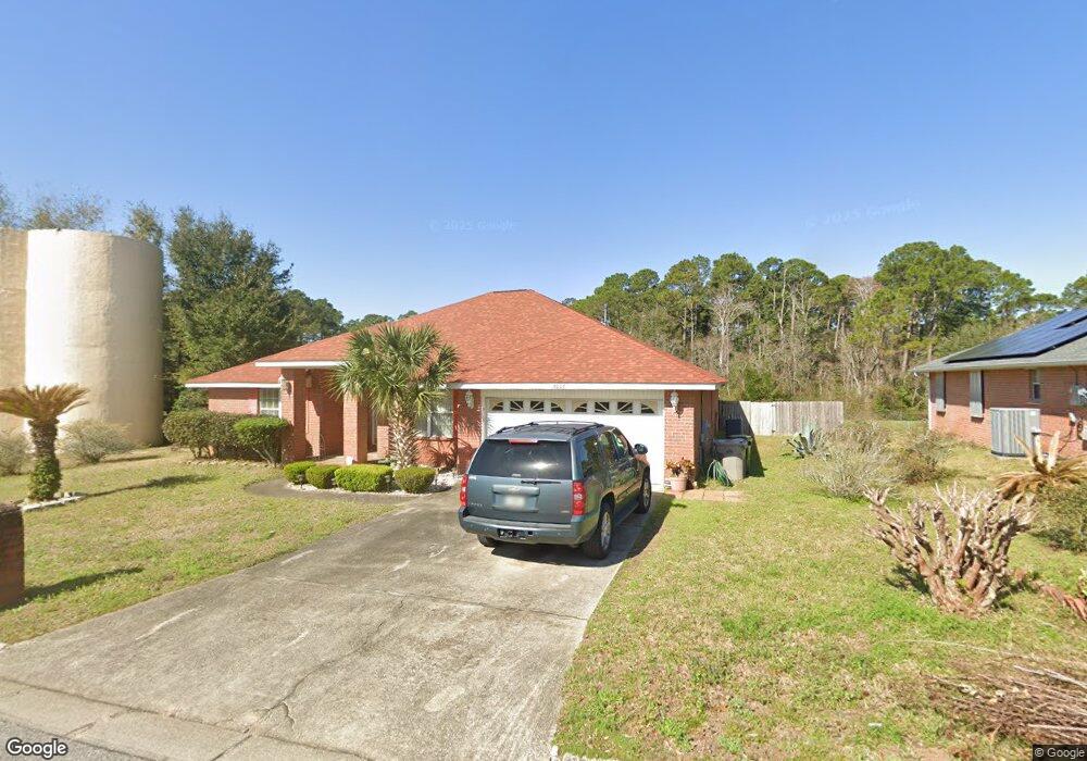
7000 Rampart Way Pensacola, FL 32505
Estimated Value: $290,822 - $359,000
--
Bed
3
Baths
2,511
Sq Ft
$132/Sq Ft
Est. Value
About This Home
This home is located at 7000 Rampart Way, Pensacola, FL 32505 and is currently estimated at $330,956, approximately $131 per square foot. 7000 Rampart Way is a home located in Escambia County with nearby schools including Montclair Elementary School, Warrington Middle School, and Pine Forest High School.
Ownership History
Date
Name
Owned For
Owner Type
Purchase Details
Closed on
Jul 9, 2001
Sold by
Adams Homes Nw Fl Inc
Bought by
Callins Angelo and Callins Erica C
Current Estimated Value
Home Financials for this Owner
Home Financials are based on the most recent Mortgage that was taken out on this home.
Original Mortgage
$125,010
Outstanding Balance
$48,491
Interest Rate
7.23%
Estimated Equity
$282,465
Purchase Details
Closed on
Feb 9, 2001
Sold by
Marcus Lake Dev Corp Inc
Bought by
Adams Homes Nw Fl Inc
Create a Home Valuation Report for This Property
The Home Valuation Report is an in-depth analysis detailing your home's value as well as a comparison with similar homes in the area
Home Values in the Area
Average Home Value in this Area
Purchase History
| Date | Buyer | Sale Price | Title Company |
|---|---|---|---|
| Callins Angelo | $138,900 | -- | |
| Adams Homes Nw Fl Inc | $39,400 | -- |
Source: Public Records
Mortgage History
| Date | Status | Borrower | Loan Amount |
|---|---|---|---|
| Open | Callins Angelo | $125,010 |
Source: Public Records
Tax History Compared to Growth
Tax History
| Year | Tax Paid | Tax Assessment Tax Assessment Total Assessment is a certain percentage of the fair market value that is determined by local assessors to be the total taxable value of land and additions on the property. | Land | Improvement |
|---|---|---|---|---|
| 2024 | $1,769 | $169,169 | -- | -- |
| 2023 | $1,769 | $164,242 | $0 | $0 |
| 2022 | $1,724 | $159,459 | $0 | $0 |
| 2021 | $1,718 | $154,815 | $0 | $0 |
| 2020 | $1,672 | $152,678 | $0 | $0 |
| 2019 | $1,640 | $149,246 | $0 | $0 |
| 2018 | $1,636 | $146,464 | $0 | $0 |
| 2017 | $1,630 | $143,452 | $0 | $0 |
| 2016 | $1,616 | $140,502 | $0 | $0 |
| 2015 | $1,604 | $139,526 | $0 | $0 |
| 2014 | $1,596 | $138,419 | $0 | $0 |
Source: Public Records
Map
Nearby Homes
- 7036 Rampart Way
- 220 Sand Trap Ln
- 2077 Tujaques Place
- 6001 Toulouse Dr
- 3236 Two Sisters Way
- 2016 Pin High Dr
- 4505 Silver Oak St Unit 1
- 2004 Pin High Dr
- 2300 W Michigan Ave Unit 1
- 2300 W Michigan Ave Unit 8
- 206 Garfield Dr
- 9663 Angel Oak Dr
- 9632 Angel Oak Dr
- 2004 Rowe Ln
- 3028 Brigantine Dr
- 2303 W Michigan Ave Unit F5
- 2303 W Michigan Ave Unit F6
- 1309 Belair Rd
- 5814 Roble Loma Dr
- 305 N Madison Dr
- 7011 Rampart Way
- 7006 Rampart Way
- 6096 Toulouse Dr
- 7012 Rampart Way
- 7027 Rampart Way
- 7018 Rampart Way
- 6090 Toulouse Dr
- 6097 Toulouse Dr
- 6093 Toulouse Dr
- 7030 Rampart Way
- 6084 Toulouse Dr
- 7041 Rampart Way
- 7045 Rampart Way
- 6085 Toulouse Dr
- 7042 Rampart Way
- 6081 Toulouse Dr
- 7053 Rampart Way
- 16A Toulouse Dr
- 7279 Rampart Way
- 7048 Rampart Way