701 Pheasant Dr Forest Hill, MD 21050
Estimated Value: $642,000 - $756,000
--
Bed
3
Baths
2,710
Sq Ft
$256/Sq Ft
Est. Value
About This Home
This home is located at 701 Pheasant Dr, Forest Hill, MD 21050 and is currently estimated at $694,616, approximately $256 per square foot. 701 Pheasant Dr is a home located in Harford County with nearby schools including Forest Hill Elementary School, North Harford Middle School, and North Harford High School.
Ownership History
Date
Name
Owned For
Owner Type
Purchase Details
Closed on
Jul 24, 1991
Sold by
Diversified Homes Master
Bought by
Rohe Joseph T and Rohe Jeanne M
Current Estimated Value
Home Financials for this Owner
Home Financials are based on the most recent Mortgage that was taken out on this home.
Original Mortgage
$25,000
Interest Rate
9.54%
Purchase Details
Closed on
Jul 28, 1989
Sold by
Meadowlark Corporation
Bought by
Diversified Homes Master
Purchase Details
Closed on
Aug 25, 1988
Sold by
Edwards Lester E
Bought by
Meadowlark Corporation
Create a Home Valuation Report for This Property
The Home Valuation Report is an in-depth analysis detailing your home's value as well as a comparison with similar homes in the area
Home Values in the Area
Average Home Value in this Area
Purchase History
| Date | Buyer | Sale Price | Title Company |
|---|---|---|---|
| Rohe Joseph T | $43,000 | -- | |
| Diversified Homes Master | $70,000 | -- | |
| Meadowlark Corporation | $750,000 | -- |
Source: Public Records
Mortgage History
| Date | Status | Borrower | Loan Amount |
|---|---|---|---|
| Closed | Rohe Joseph T | $25,000 |
Source: Public Records
Tax History Compared to Growth
Tax History
| Year | Tax Paid | Tax Assessment Tax Assessment Total Assessment is a certain percentage of the fair market value that is determined by local assessors to be the total taxable value of land and additions on the property. | Land | Improvement |
|---|---|---|---|---|
| 2025 | $5,189 | $502,700 | $138,300 | $364,400 |
| 2024 | $5,129 | $477,200 | $0 | $0 |
| 2023 | $4,882 | $451,700 | $0 | $0 |
| 2022 | $2,323 | $426,200 | $138,300 | $287,900 |
| 2021 | $2,318 | $413,967 | $0 | $0 |
| 2020 | $2,318 | $401,733 | $0 | $0 |
| 2019 | $4,555 | $389,500 | $143,300 | $246,200 |
| 2018 | $4,400 | $379,467 | $0 | $0 |
| 2017 | $4,285 | $389,500 | $0 | $0 |
| 2016 | -- | $359,400 | $0 | $0 |
| 2015 | $4,322 | $359,400 | $0 | $0 |
| 2014 | $4,322 | $359,400 | $0 | $0 |
Source: Public Records
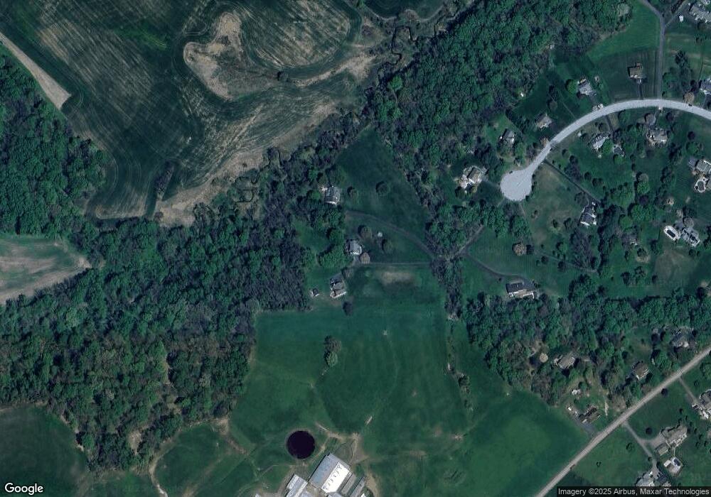
Map
Nearby Homes
- 520 Walters Mill Rd
- 25 Chestnut Hill Rd
- 209 Christopher Rd
- 2433 Maxa Meadows Ln
- 708 Walters Mill Rd
- 719 Walters Mill Rd
- 2427 Rocks Rd
- 3041 Rocks Rd
- 3307 Deer Hill Rd
- 2605 Ady Rd
- 16 Cherry Hill Rd
- 2040 Colgate Cir
- 332 Ponfield Rd E
- 2139 Mardic Dr
- 1134 Chrome Hill Rd
- 2103 Mardic Dr
- 3213 Sudath Ln
- 2229-A Ady Rd
- 408 Cherry Hill Rd
- 310 Willrich Cir
- 703 Pheasant Dr
- 700 Pheasant Dr
- 702 Pheasant Dr
- 705 Pheasant Dr
- 704 Pheasant Dr
- 324 Chestnut Hill Rd
- 706 Pheasant Dr
- 709 Pheasant Dr
- 711 Pheasant Dr
- 708 Pheasant Dr
- 707 Pheasant Dr
- 320 Chestnut Hill Rd
- 308 Chestnut Hill Rd
- 713 Pheasant Dr
- 328 Chestnut Hill Rd
- 710 Pheasant Dr
- 717 Pheasant Dr
- 332 Chestnut Hill Rd
- 712 Pheasant Dr
- 715 Pheasant Dr