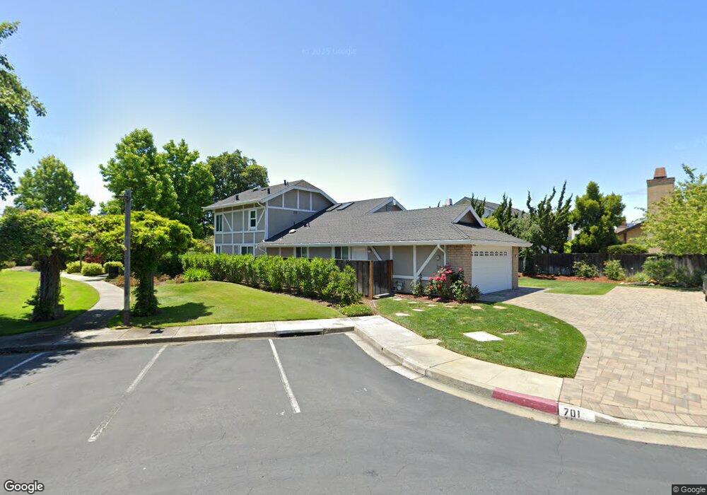
701 Prescott Ln Foster City, CA 94404
Sea Colony NeighborhoodEstimated Value: $2,379,000 - $2,847,000
3
Beds
2
Baths
2,460
Sq Ft
$1,067/Sq Ft
Est. Value
About This Home
This home is located at 701 Prescott Ln, Foster City, CA 94404 and is currently estimated at $2,624,915, approximately $1,067 per square foot. 701 Prescott Ln is a home located in San Mateo County with nearby schools including Foster City Elementary School, Bowditch Middle School, and San Mateo High School.
Ownership History
Date
Name
Owned For
Owner Type
Purchase Details
Closed on
Oct 27, 2014
Sold by
Singh Jan and Singh Aruna
Bought by
Jai & Aruna Singh Trust and Singh Aruna
Current Estimated Value
Purchase Details
Closed on
May 22, 1995
Sold by
Waller Stephen L and Waller Diane S
Bought by
Singh Jai and Singh Aruna
Home Financials for this Owner
Home Financials are based on the most recent Mortgage that was taken out on this home.
Original Mortgage
$383,350
Interest Rate
7.5%
Create a Home Valuation Report for This Property
The Home Valuation Report is an in-depth analysis detailing your home's value as well as a comparison with similar homes in the area
Home Values in the Area
Average Home Value in this Area
Purchase History
| Date | Buyer | Sale Price | Title Company |
|---|---|---|---|
| Jai & Aruna Singh Trust | -- | None Available | |
| Singh Jai | $451,000 | Chicago Title Company |
Source: Public Records
Mortgage History
| Date | Status | Borrower | Loan Amount |
|---|---|---|---|
| Closed | Singh Jai | $383,350 |
Source: Public Records
Tax History Compared to Growth
Tax History
| Year | Tax Paid | Tax Assessment Tax Assessment Total Assessment is a certain percentage of the fair market value that is determined by local assessors to be the total taxable value of land and additions on the property. | Land | Improvement |
|---|---|---|---|---|
| 2025 | $9,278 | $783,483 | $378,764 | $404,719 |
| 2023 | $9,278 | $753,063 | $364,057 | $389,006 |
| 2022 | $8,958 | $738,298 | $356,919 | $381,379 |
| 2021 | $8,836 | $723,823 | $349,921 | $373,902 |
| 2020 | $8,594 | $716,402 | $346,333 | $370,069 |
| 2019 | $8,147 | $702,357 | $339,543 | $362,814 |
| 2018 | $7,708 | $688,587 | $332,886 | $355,701 |
| 2017 | $7,636 | $675,086 | $326,359 | $348,727 |
| 2016 | $7,743 | $661,850 | $319,960 | $341,890 |
| 2015 | $7,563 | $651,909 | $315,154 | $336,755 |
| 2014 | $7,371 | $639,140 | $308,981 | $330,159 |
Source: Public Records
Map
Nearby Homes
- 707 Santa Cruz Ln
- 26 Binnacle Ln
- 619 Mystic Ln
- 1024 Rudder Ln
- 910 Beach Park Blvd Unit 106
- 910 Beach Park Blvd Unit 97
- 667 Sandy Hook Ct
- 851 Peary Ln
- 101 Shorebird Cir
- 203 Shorebird Cir
- 1017 Shell Blvd Unit 12
- 1041 Shell Blvd Unit 8
- 879 Carina Ln
- 803 Peary Ln
- 131 Northampton Ln
- 971 Marquette Ln
- 366 Treasure Island Dr
- 223 Shorebird Cir
- 986 Cartier Ln
- 24 Pelican Ln
- 702 Somerset Ln
- 700 Somerset Ln
- 704 Somerset Ln
- 702 Prescott Ln
- 703 Prescott Ln
- 706 Somerset Ln
- 611 Cornwallis Ln
- 616 Somerset Ln
- 705 Prescott Ln
- 706 Prescott Ln
- 708 Somerset Ln
- 615 Cornwallis Ln
- 609 Cornwallis Ln
- 1403 Prescott Ln
- 614 Somerset Ln
- 707 Prescott Ln
- 709 Baffin St
- 708 Prescott Ln
- 703 Somerset Ln
- 617 Cornwallis Ln