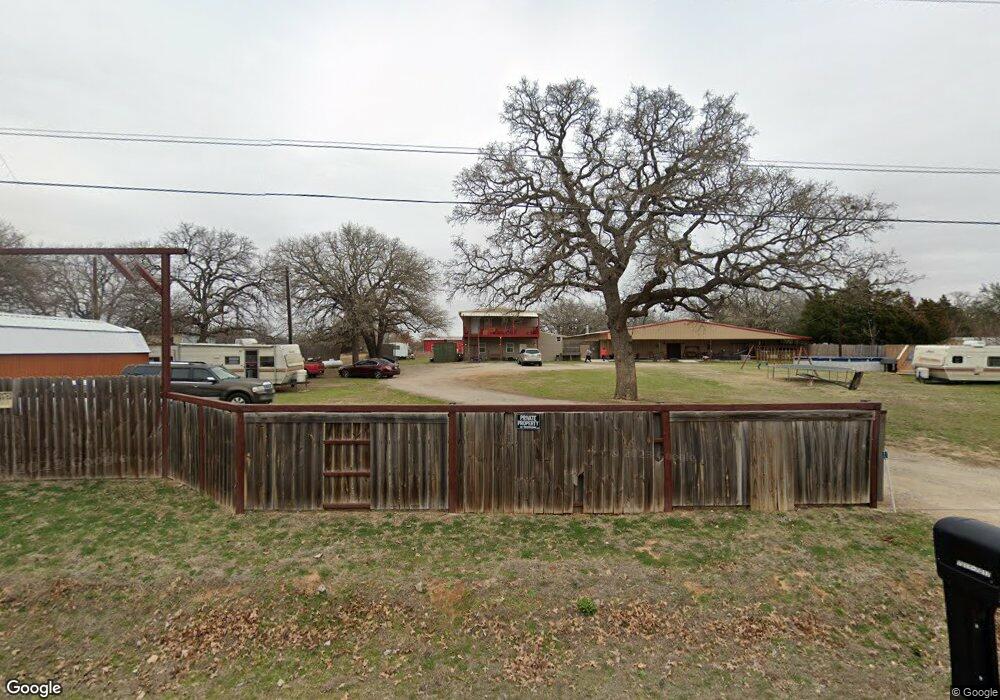
7011 Christopher Dr Weatherford, TX 76085
Estimated Value: $388,000 - $1,072,000
4
Beds
4
Baths
8,812
Sq Ft
$71/Sq Ft
Est. Value
About This Home
This home is located at 7011 Christopher Dr, Weatherford, TX 76085 and is currently estimated at $628,047, approximately $71 per square foot. 7011 Christopher Dr is a home located in Parker County with nearby schools including Cross Timbers Elementary School, W E Hoover Elementary School, and Santo Forte Junior High School.
Ownership History
Date
Name
Owned For
Owner Type
Purchase Details
Closed on
Oct 20, 2017
Sold by
Norris Harold E
Bought by
Diaz Lynn M
Current Estimated Value
Purchase Details
Closed on
Mar 4, 2016
Sold by
Boatman Paula and Norris Harold E
Bought by
Norris Harold E
Purchase Details
Closed on
Jan 1, 1901
Bought by
Norris Harold E
Create a Home Valuation Report for This Property
The Home Valuation Report is an in-depth analysis detailing your home's value as well as a comparison with similar homes in the area
Home Values in the Area
Average Home Value in this Area
Purchase History
| Date | Buyer | Sale Price | Title Company |
|---|---|---|---|
| Diaz Lynn M | -- | None Available | |
| Norris Harold E | -- | -- | |
| Norris Harold E | -- | Attorney | |
| Norris Harold E | -- | -- |
Source: Public Records
Tax History Compared to Growth
Tax History
| Year | Tax Paid | Tax Assessment Tax Assessment Total Assessment is a certain percentage of the fair market value that is determined by local assessors to be the total taxable value of land and additions on the property. | Land | Improvement |
|---|---|---|---|---|
| 2025 | $1,005 | $186,183 | -- | -- |
| 2024 | $1,005 | $169,257 | -- | -- |
| 2023 | $1,005 | $153,870 | $0 | $0 |
| 2022 | $2,580 | $146,160 | $25,000 | $121,160 |
| 2021 | $2,457 | $146,160 | $25,000 | $121,160 |
| 2020 | $2,222 | $115,230 | $25,000 | $90,230 |
| 2019 | $2,355 | $115,230 | $25,000 | $90,230 |
| 2018 | $3,797 | $185,210 | $24,080 | $161,130 |
| 2017 | $2,087 | $106,850 | $24,080 | $82,770 |
| 2016 | $1,576 | $80,660 | $24,080 | $56,580 |
| 2015 | $318 | $44,030 | $24,080 | $19,950 |
| 2014 | $469 | $24,080 | $24,080 | $0 |
Source: Public Records
Map
Nearby Homes
- 149 Bryon Dr
- 174 Scott Ln
- 357 Mastadon Way
- 7503 Sabathney Rd
- 128 Arunda Ct
- 1113 Silver Sage Trail
- 2000 Cypress Ct
- 2009 Cypress Ct
- 2004 Cypress Ct
- 1114 Silver Sage Trail
- 1024 Silver Sage Trail
- 1106 Silver Sage Trail
- 1033 Silver Sage Trail
- 109 Coolibar Ct
- 687 Bent Tree Ln
- The Wilder Plan at Brooks Meadow
- The Ryder Plan at Brooks Meadow
- The Curran Plan at Brooks Meadow
- The Bennett Plan at Brooks Meadow
- The Jackson Plan at Brooks Meadow
- 7017 Christopher Dr
- 7021 Christopher Dr
- 7005 Christopher Dr
- 7008 Christopher Dr
- 7020 Christopher Dr
- 000 Marian Dr
- 0000 Marian Dr
- 00 Marian Dr
- 7029 Christopher Dr
- 117 Marian Dr
- 128 Marian Dr
- 130 Marian Dr
- 120 Marian Dr
- 7035 Christopher Dr
- 7030 Christopher Dr
- 105 Marian Dr
- 7050 Christopher Dr
- 109 Marian Dr
- 221 Marian Dr
- 244 Bryon Dr