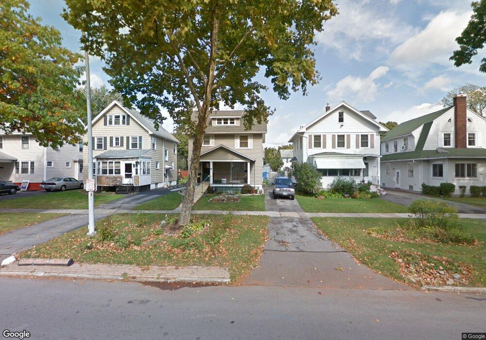
702 Arnett Blvd Rochester, NY 14619
19th Ward NeighborhoodEstimated Value: $125,000 - $160,094
3
Beds
1
Bath
1,380
Sq Ft
$107/Sq Ft
Est. Value
About This Home
This home is located at 702 Arnett Blvd, Rochester, NY 14619 and is currently estimated at $147,524, approximately $106 per square foot. 702 Arnett Blvd is a home located in Monroe County with nearby schools including John Walton Spencer School No. 16, Adlai E. Stevenson School 29, and School 19 Dr Charles T Lunsford.
Ownership History
Date
Name
Owned For
Owner Type
Purchase Details
Closed on
May 20, 2005
Sold by
Roberts John
Bought by
Roberts John and Cooper Debor
Current Estimated Value
Purchase Details
Closed on
Mar 30, 2001
Sold by
Mccloud Cynthia J
Bought by
Roberts John
Purchase Details
Closed on
May 12, 1998
Create a Home Valuation Report for This Property
The Home Valuation Report is an in-depth analysis detailing your home's value as well as a comparison with similar homes in the area
Home Values in the Area
Average Home Value in this Area
Purchase History
| Date | Buyer | Sale Price | Title Company |
|---|---|---|---|
| Roberts John | -- | -- | |
| Roberts John | $65,900 | Alfred J Heilman | |
| -- | $40,000 | -- |
Source: Public Records
Mortgage History
| Date | Status | Borrower | Loan Amount |
|---|---|---|---|
| Open | Cooper Deborah | $5,000 | |
| Open | Cooper Deborah | $9,800 | |
| Closed | Roberts John | $12,133 | |
| Closed | Roberts John | $15,000 |
Source: Public Records
Tax History Compared to Growth
Tax History
| Year | Tax Paid | Tax Assessment Tax Assessment Total Assessment is a certain percentage of the fair market value that is determined by local assessors to be the total taxable value of land and additions on the property. | Land | Improvement |
|---|---|---|---|---|
| 2024 | $733 | $122,400 | $9,800 | $112,600 |
| 2023 | $632 | $84,200 | $7,800 | $76,400 |
| 2022 | $1,116 | $84,200 | $7,800 | $76,400 |
| 2021 | $1,119 | $84,200 | $7,800 | $76,400 |
| 2020 | $1,120 | $84,200 | $7,800 | $76,400 |
| 2019 | $1,061 | $75,400 | $7,800 | $67,600 |
| 2018 | $623 | $75,400 | $7,800 | $67,600 |
| 2017 | $0 | $75,400 | $7,800 | $67,600 |
| 2016 | $1,061 | $75,400 | $7,800 | $67,600 |
| 2015 | $1,576 | $69,000 | $7,800 | $61,200 |
| 2014 | $1,576 | $69,000 | $7,800 | $61,200 |
Source: Public Records
Map
Nearby Homes
- 56 Chili Terrace
- 91-97 Thurston Rd
- 119-121 Thurston Rd
- 132-134 Salina St
- 127 Devonshire Ct
- 564 Chili Ave
- 101 Roxborough Rd
- 29-33 Westgate Terrace
- 66 Ringle St
- 152 Inglewood Dr
- 215 Lincoln Ave
- 457-459 Chili Ave
- 456-458 Chili Ave
- 66 Briggs St
- 469 Arnett Blvd
- 87 Depew St
- 51 Penhurst St
- 104 Hobart St
- 974 Arnett Blvd
- 409 Arnett Blvd
- 698 Arnett Blvd
- 708 Arnett Blvd
- 692 Arnett Blvd
- 686 Arnett Blvd
- 720 Arnett Blvd
- 65 Devonshire Ct
- 53 Devonshire Ct
- 69 Devonshire Ct
- 47 Devonshire Ct
- 682 Arnett Blvd
- 724 Arnett Blvd
- 75 Devonshire Ct Unit 77
- 41 Devonshire Ct
- 676 Arnett Blvd
- 730 Arnett Blvd
- 81 Devonshire Ct
- 35 Devonshire Ct
- 703 Arnett Blvd
- 697 Arnett Blvd
- 709 Arnett Blvd