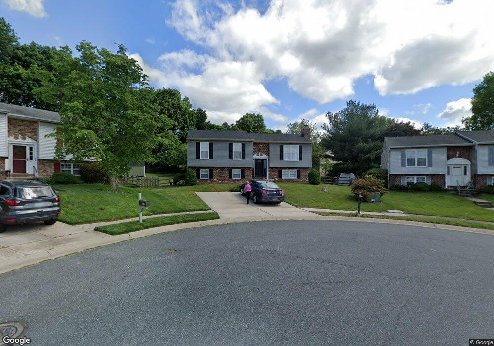
703 Mayton Ct Bel Air, MD 21014
Estimated Value: $327,000 - $436,000
--
Bed
2
Baths
1,191
Sq Ft
$325/Sq Ft
Est. Value
About This Home
This home is located at 703 Mayton Ct, Bel Air, MD 21014 and is currently estimated at $387,665, approximately $325 per square foot. 703 Mayton Ct is a home located in Harford County with nearby schools including Homestead-Wakefield Elementary School, Bel Air Middle School, and Bel Air High School.
Ownership History
Date
Name
Owned For
Owner Type
Purchase Details
Closed on
Oct 4, 1984
Sold by
Universal Housing
Bought by
Parr John D and Parr Jo Ann
Current Estimated Value
Home Financials for this Owner
Home Financials are based on the most recent Mortgage that was taken out on this home.
Original Mortgage
$39,750
Interest Rate
14.26%
Create a Home Valuation Report for This Property
The Home Valuation Report is an in-depth analysis detailing your home's value as well as a comparison with similar homes in the area
Home Values in the Area
Average Home Value in this Area
Purchase History
| Date | Buyer | Sale Price | Title Company |
|---|---|---|---|
| Parr John D | $79,800 | -- |
Source: Public Records
Mortgage History
| Date | Status | Borrower | Loan Amount |
|---|---|---|---|
| Closed | Parr John D | $39,750 |
Source: Public Records
Tax History Compared to Growth
Tax History
| Year | Tax Paid | Tax Assessment Tax Assessment Total Assessment is a certain percentage of the fair market value that is determined by local assessors to be the total taxable value of land and additions on the property. | Land | Improvement |
|---|---|---|---|---|
| 2025 | $2,640 | $328,300 | $94,500 | $233,800 |
| 2024 | $2,900 | $307,567 | $0 | $0 |
| 2023 | $2,900 | $286,833 | $0 | $0 |
| 2022 | $2,900 | $266,100 | $94,500 | $171,600 |
| 2021 | $3,009 | $263,433 | $0 | $0 |
| 2020 | $3,009 | $260,767 | $0 | $0 |
| 2019 | $2,978 | $258,100 | $112,700 | $145,400 |
| 2018 | $2,906 | $254,100 | $0 | $0 |
| 2017 | $2,814 | $258,100 | $0 | $0 |
| 2016 | -- | $246,100 | $0 | $0 |
| 2015 | $2,703 | $242,867 | $0 | $0 |
| 2014 | $2,703 | $239,633 | $0 | $0 |
Source: Public Records
Map
Nearby Homes
- 1055 Sansa Ct
- 600 Harvest Ct
- 638 Iron Gate Rd
- 726 Iron Gate Rd
- 412 Viola Ct N
- 515 W Ring Factory Rd
- 804 Grady Ct
- 3 Forest Dr
- 231 E Belcrest Rd
- 1504 Houndslow Ct
- 4 Colonial Rd
- 2 Colonial Rd
- 608 Squire Ln Unit B
- 606 Squire Ln Unit 606-A
- 601 Thames Way Unit E
- 600 Squire Ln Unit 2J
- 632 Camelot Dr
- 103 S Reed St
- 123 Wakely Terrace
- 298 Canterbury Rd Unit 298-D
- 701 Mayton Ct
- 702 Mustang Ct
- 705 Mayton Ct
- 700 Mustang Ct
- 709 High Plain Dr
- 704 Mustang Ct
- 711 High Plain Dr
- 707 Mayton Ct
- 707 High Plain Dr
- 700 Mayton Ct
- 713 High Plain Dr
- 705 High Plain Dr
- 702 Mayton Ct
- 706 Mustang Ct
- 701 Mustang Ct
- 709 Mayton Ct
- 704 Mayton Ct
- 703 High Plain Dr
- 715 High Plain Dr
- 706 Mayton Ct